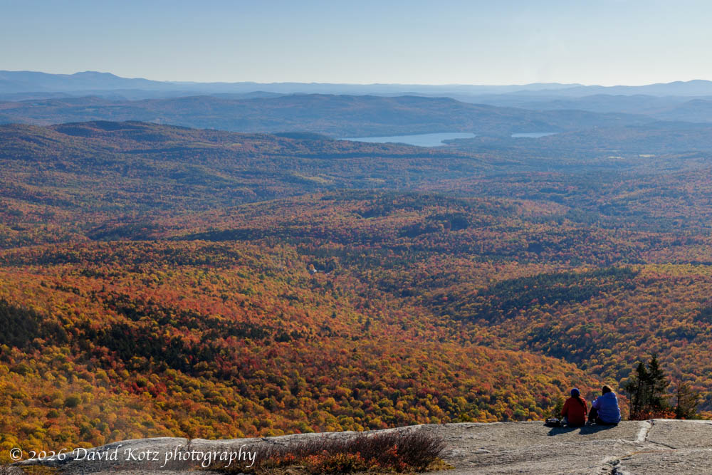
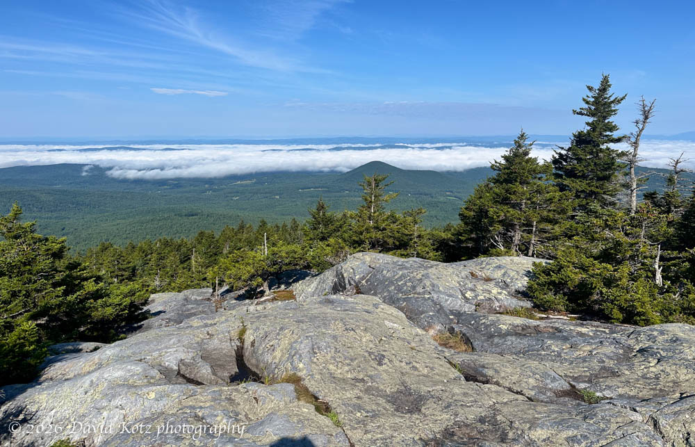
It was a beautiful autumn day, with the fall foliage reaching peak color at the higher elevations. So I left home early for Mount Cardigan, knowing the trailhead parking would fill quickly on a gorgeous holiday weekend. After nabbing one of the last parking spots, I strided quickly up the familiar West Ridge trail to the summit. I passed nearly all the earlier ascending hikers, and encountered one or two sunrise groups descending.
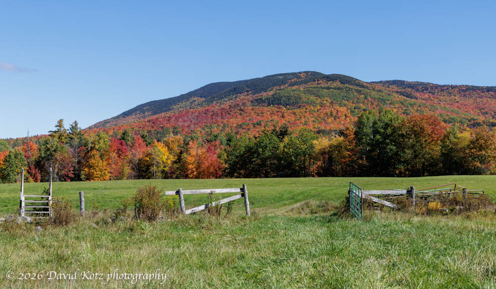
It was a beautiful fall weekend – perfect October weather, with the autumn colors intensifying here in the Connecticut River valley. We drove a bit further north, into the town of Orford NH, then up into the foothills near Mount Cube. At this slightly higher elevation, the fall foliage was nearing peak color.
Today marks the 52nd consecutive weekend I’ve been out hiking.
I never set out to hike every weekend for an entire year. It was perhaps mid-November when I noticed I had been out for a hike every weekend (and sometimes more) since mid-September, so I decided to keep it up. The resulting quest has been a remarkable forcing function – sometimes pushing me to get outdoors even when I felt too busy or too tired to identify, organize, and execute on a plan. In retrospect, it was always worth the effort. Always.
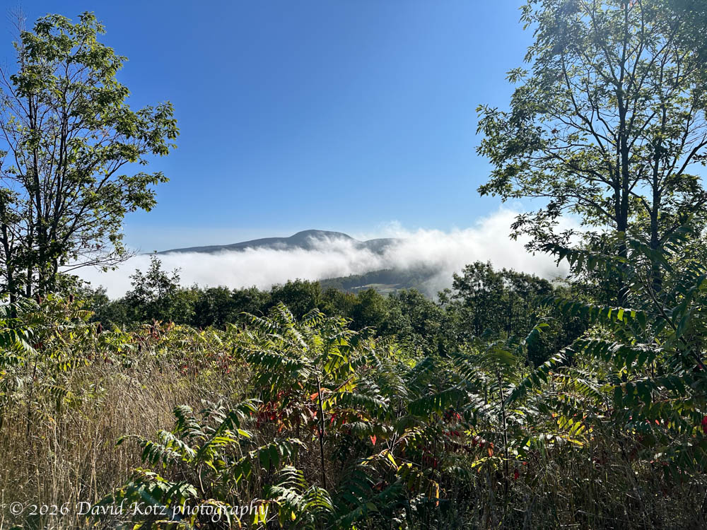
Today was a quintessentially gorgeous September day in New Hampshire – early morning valley fog, then cool air with warm sunshine and calm winds. My long to-do list precluded any serious hiking, so I headed out on two short hikes before and after breakfast.
We were in the area of Burlington, Vermont for the long weekend, so I was eager to take advantage of the amazing hiking opportunities in this beautiful corner of Vermont. Sunday morning’s weather looked good – few clouds and almost no chance of rain – so Andy and I headed for Mount Mansfield. As Vermont’s highest peak at 4,393′ (1339 meters), with open summits offering grand views, it is an extremely popular destination. With the Stowe ski area on its eastern slopes operating an easy gondola ride close to the summit, even in summer, and with the proximity of Vermont’s largest city, I knew the trails would be busy on this holiday weekend – so we were on the trail before 8 a.m.
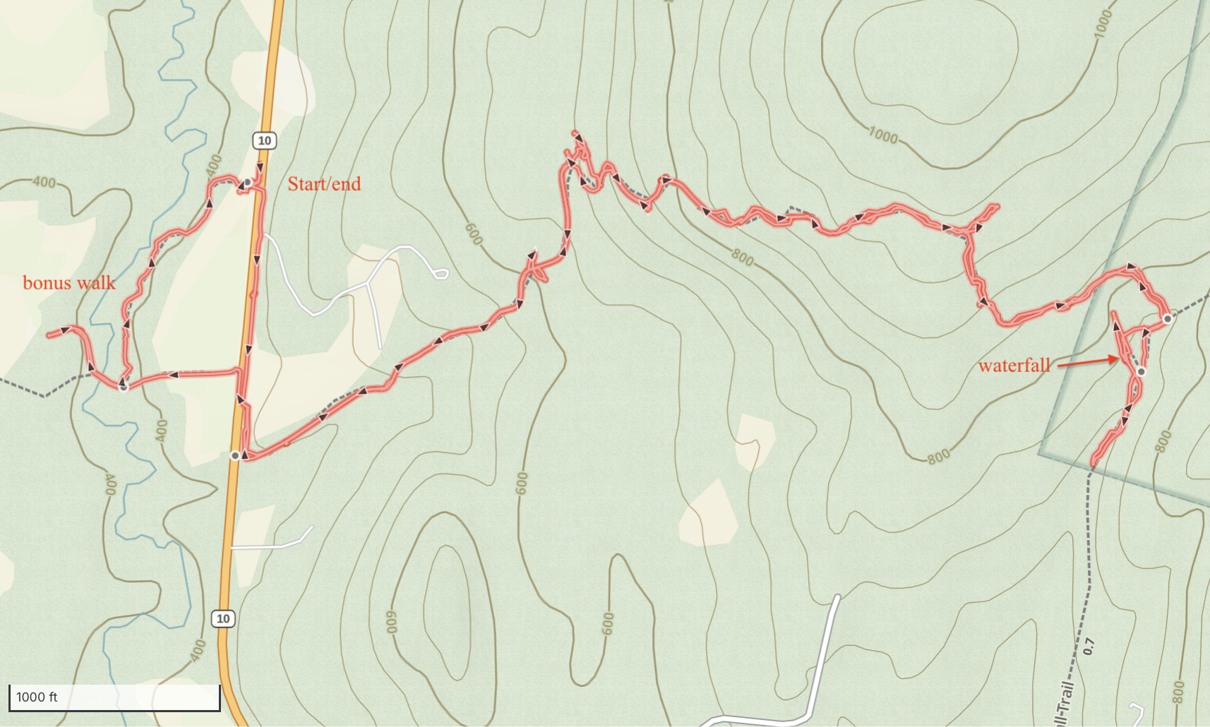
Our little town of Lyme has several beautiful natural areas, many of them conserved and open to the public. The Lyme Town Forest spans a range of forest types and stretches from the Connecticut River up and over some rolling hills in the northwest corner of town. Today I took a walk on some of those trails – far more difficult than I expected – in search of a waterfall.
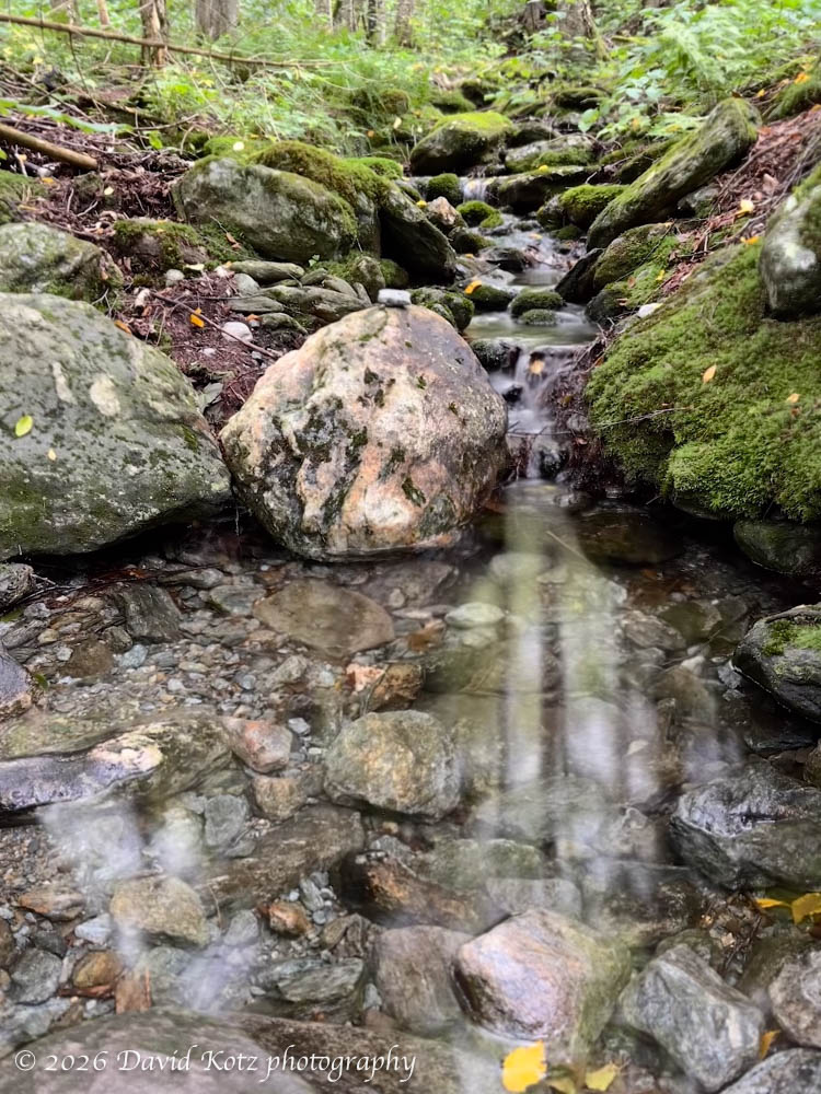
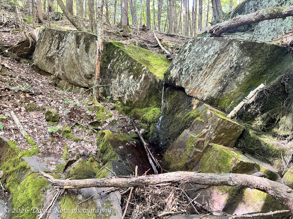
The ‘waterfall’ is not much to look at, in August. Just a trickle!
Unfortunately, this trail – the Clay Brook Trail – is severely overgrown, its treadway underused and covered with forest litter, and its painted blazes fading. So I spent much of my time pausing, backtracking, and searching for the route. At times it felt more like bushwhacking than hiking. But it was nonetheless a pretty day in a pretty forest. See the photo gallery!
Mount Moosilauke is of the first places I wanted to visit after returning home from London. My favorite mountain, of course! I headed up early this morning, while it was still sunny, trying to beat the incoming clouds. The result was a lovely hike, with broad views from the summit. I set off at a brisk pace, wondering how I might feel climbing a big mountain after a year of mostly level ground and rolling hills in the South Downs.
My calves strained as I hiked up the steep, forested hillside, following a familiar route that has no trail and rarely feels the pressure of human soles. Except mine. For this weekend’s hike I decided to stay close to home and visit a patch of forest that I know very, very well. I have traversed this hillside dozens, nay, hundreds of times, following my whim instead of any formal trails. My senses perk up as I move slowly through the underbrush, looking and listening and sometimes even feeling for animal sign, trying to read the land and determine where I might place my motion-sensor cameras to capture interesting videos of the local wildlife.
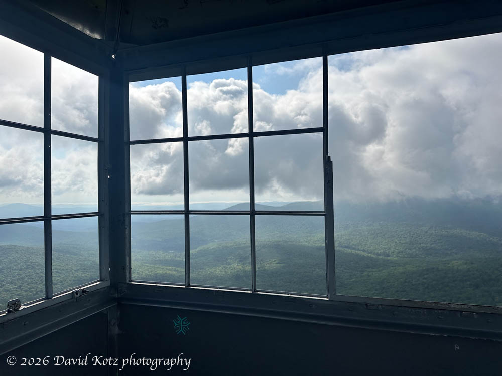
A beautiful summer day calls for a hike to a beautiful summit peak. Today I decided to climb Spruce Mountain in Plainfield, Vermont. From the guidebook description it looked like it was achievable in the coolness of the morning – perhaps one hour to drive and one hour to hike, each way. The hike follows a pretty trail, beginning with an easy mile along an old forest road, then turning increasingly steep as it winds its way to the summit. There, an old fire tower offers 360º views of central Vermont.
Now that I’m back home, I’m looking forward to hiking some of my favorite places. Today I chose Mount Cube, a small peak along the Appalachian Trail north of here. It’s only a 45-minute drive, a 2-mile hike, and leads to some pretty nice views. It’s my go-to hike when I need a short morning outing. When I set out, early this morning, I was driving through dense fog and (seemingly) cloudy skies, but I knew Mount Cube would rise above all that. It did not fail to deliver.