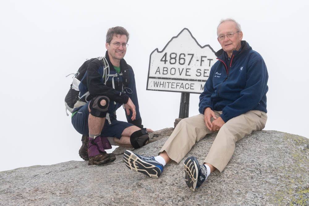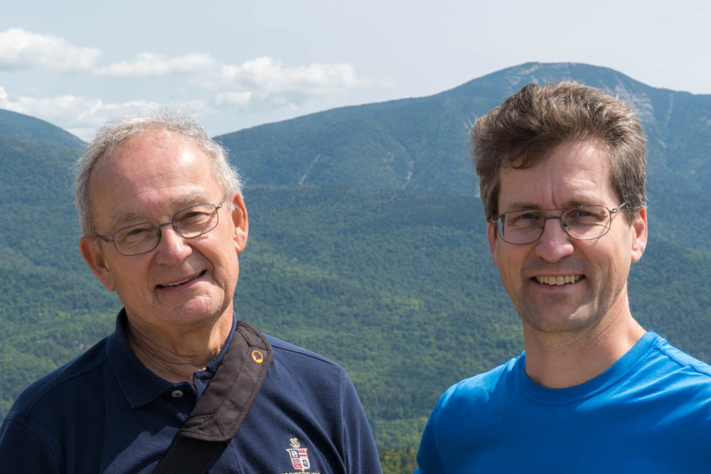
 After completing my Adirondack 46ers on Whiteface Mountain (Thursday) and my New York 4000-footers on Hunter Mountain (Friday), I was still drawn to the mountains. On Saturday, my father and I co-led a group of Camp Dudley alumni to the top of Rooster Comb, a small peak in the Keene Valley region of the Adirondacks, which has a fantastic view of Giant Mountain and even Mount Marcy. [photos.] What a treat!
 On Sunday, I left the Adirondacks and crossed Vermont on my way home to New Hampshire. It was such a beautiful day that I had to pause and photograph the ubiquitous Osprey in the Champlain Valley, and take a hike on the Long Trail to catch some views toward New Hampshire from the Middlebury Snow Bowl. [photos.] We are lucky to live in such beautiful states.

 I took a quick trip up Hunter Mountain, in the Catskills of southern New York, to top off my list of 4000-footer peaks in New York. (There are two such peaks outside the Adirondacks, both in the Catskills; I climbed Slide Mountain in 1976.)
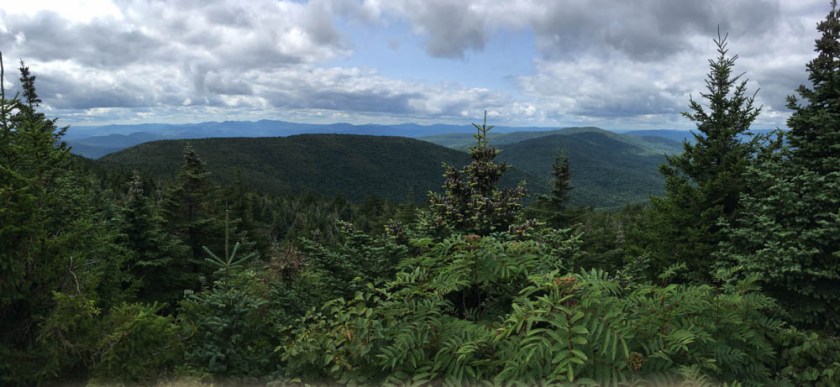
 It was a pleasant day on the Becker Hollow trail, which provides a steady but stiff inclined route up the side of the valley. As it nears the head of the valley the trail becomes steep, finally topping out at the flat, tree-covered summit at 4,046′. I explored a side trail to a nice westerly overlook on some sunny rocks, only to discover I was not the only one enjoying those sunny rocks: a nest of small garter snakes writhed in one small niche, while another larger snake patrolled nearby. See the gallery for a video.