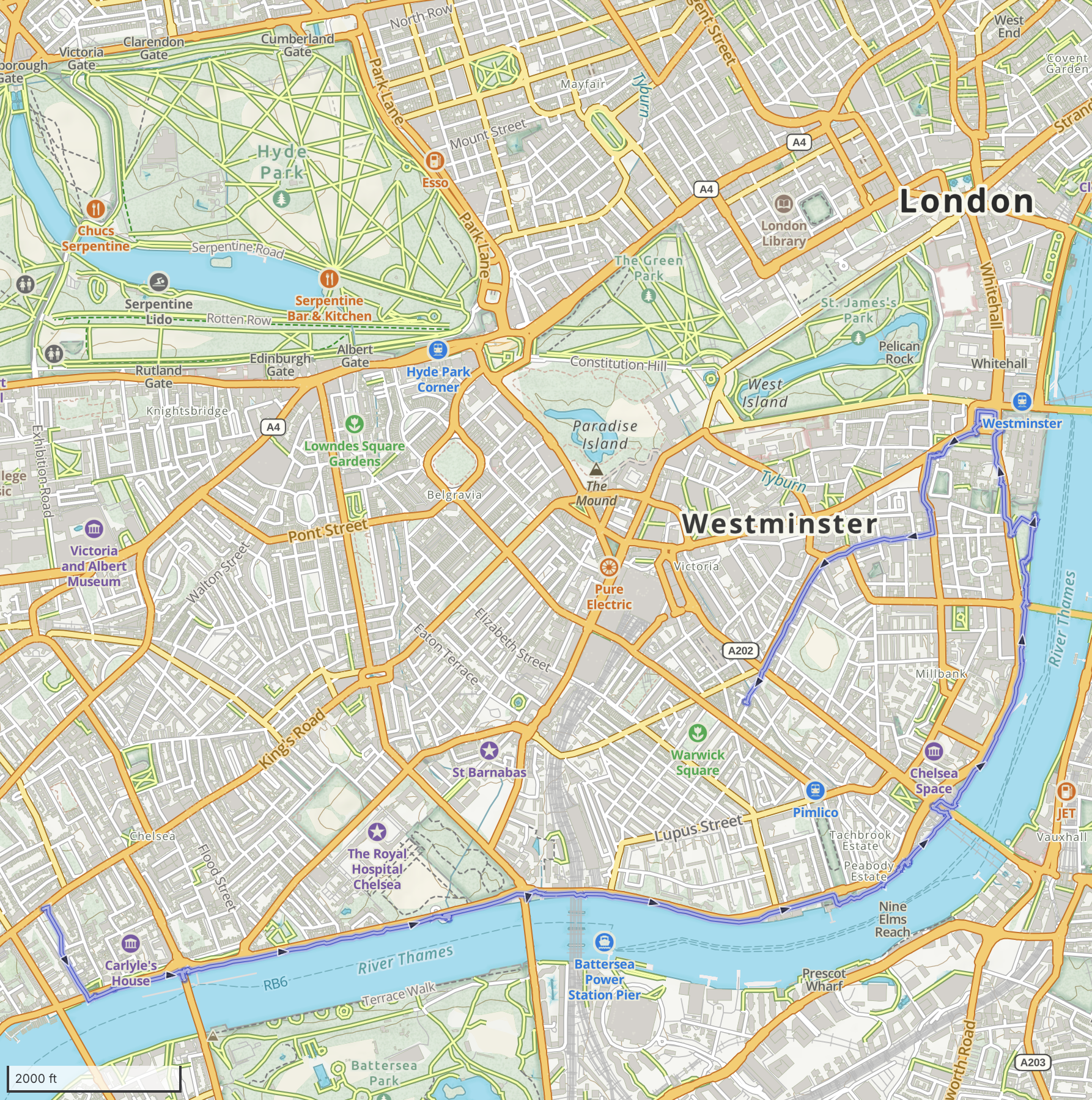
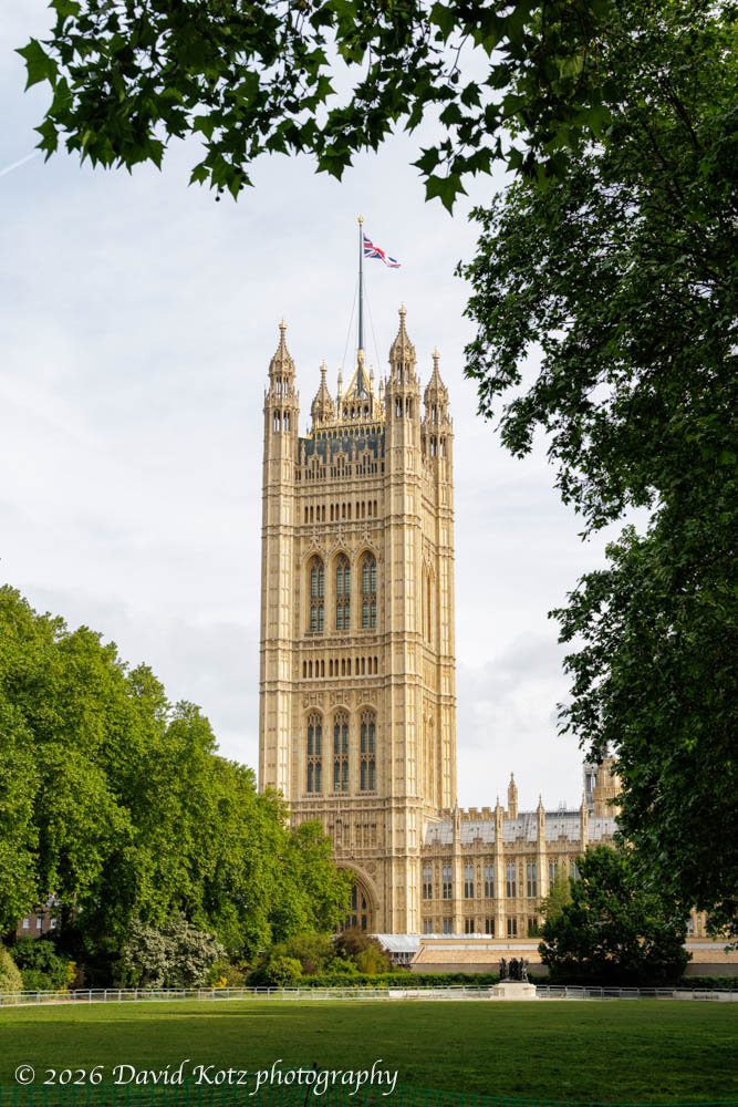
Although the weather has been beautiful this weekend, I had little time for hiking. So, today I chose to walk a portion of the Thames Path. This long-distance path begins at the source of the Thames, in the Cotswolds, and follows the river downstream for 185 miles to Woolwich, London. (Regular readers may recall my brief visit to that downstream endpoint, at the famous Thames River Barrier, two months ago.) Today I began my walk in Chelsea, walked along the embankment until I reached the Parliament building, then turned back inland toward home.
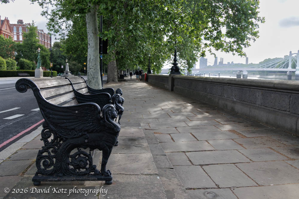
The walk was entirely on pavement (aka, sidewalk) between the river and a road; on this sunny Sunday morning there were more joggers on the pavement than cars on the road. Each of the bridges along the route – Battersea, Albert, Chelsea, Grosvenor, Vauxhall, Lambeth, and Westminster – has a unique design, some quite historic. The tide was very low, and I saw mudlarks exploring the stony mudflats on either side of the river.
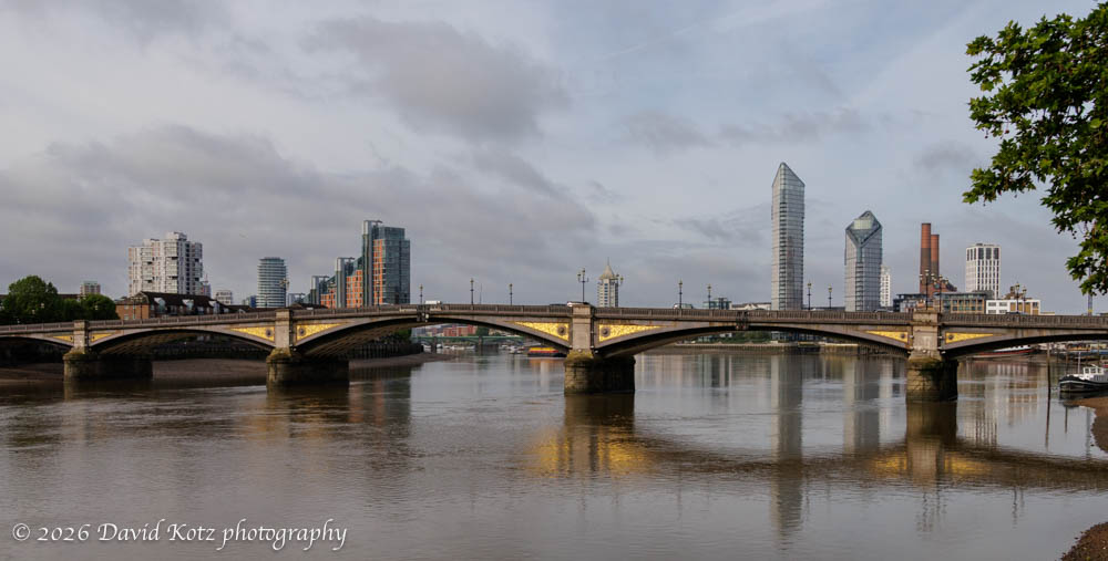
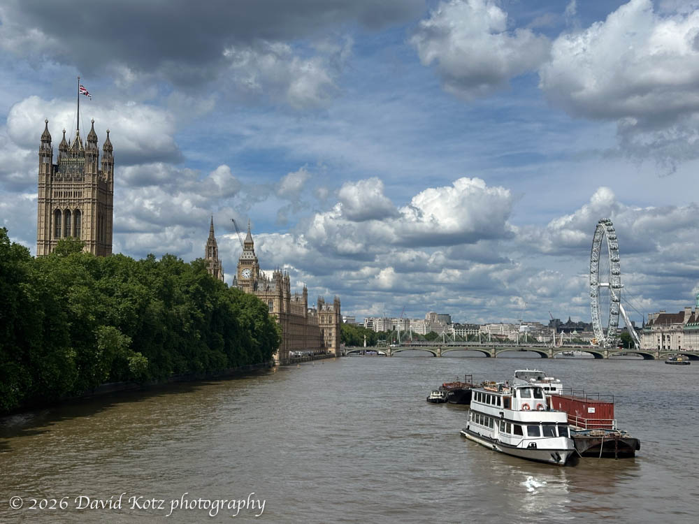
This segment passes several pretty parks, and offers a peek at many London landmarks – including Chelsea gardens, Tate Britain (museum), Battersea Power Station, the Shard, the US Embassy, the London Eye, and more. But the most iconic of all landmarks occurred at the end of my traverse along the river, at Westminster Palace (the Parliament building), with its spectacular Victoria Tower and Elizabeth Tower (better known as Big Ben).
In the photo gallery, I’ve included all these (and more!), as well as some photos I shot later today while on a bus tour of the city. It turns out the top deck of an open-top double-decker tour bus often gives a better view than is possible from the street!
Hike stats:
Distance: 4.58 miles (7.4km)
Gain: 15 feet (flat!)
Time: 1h57m