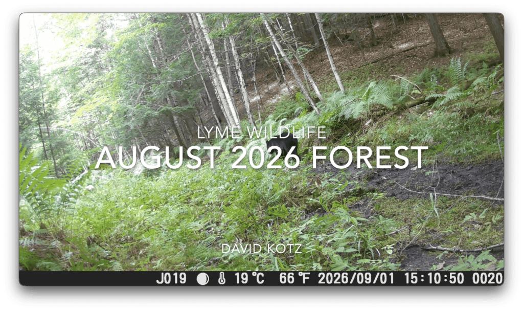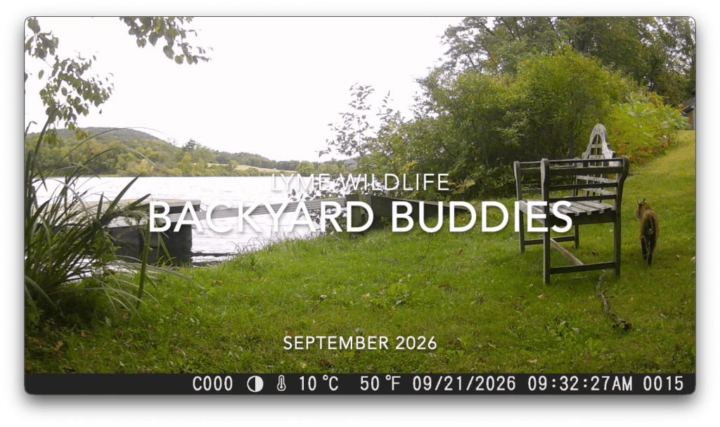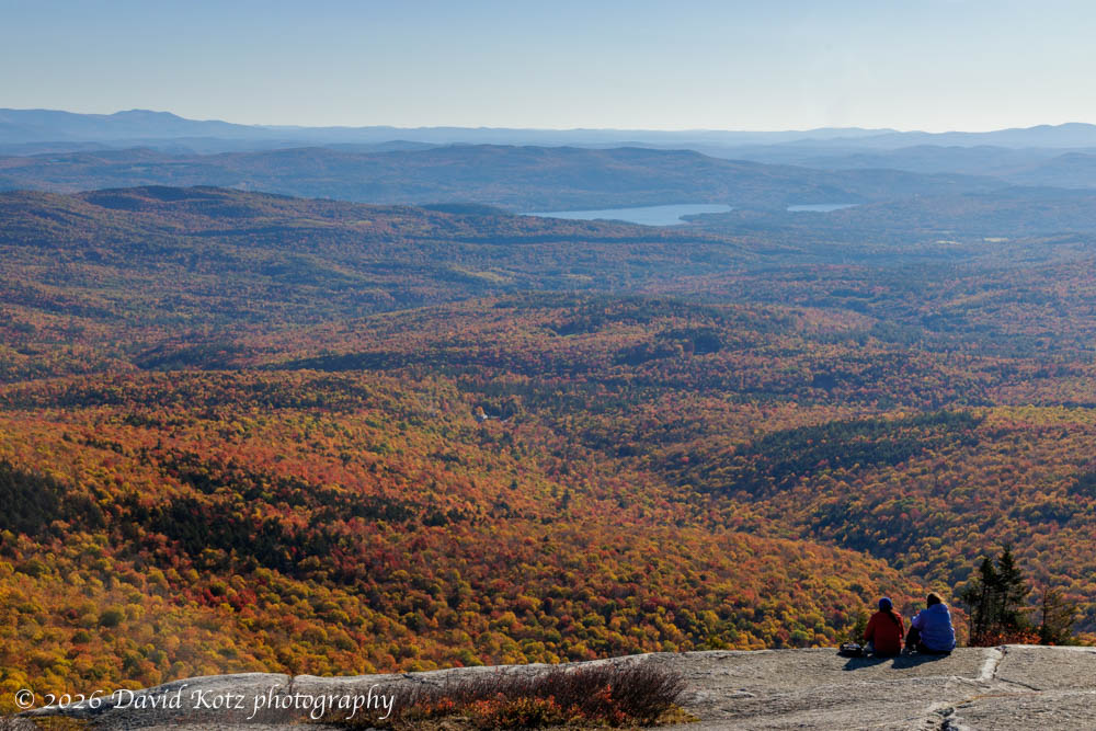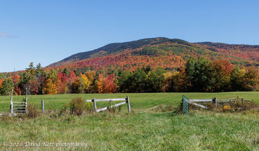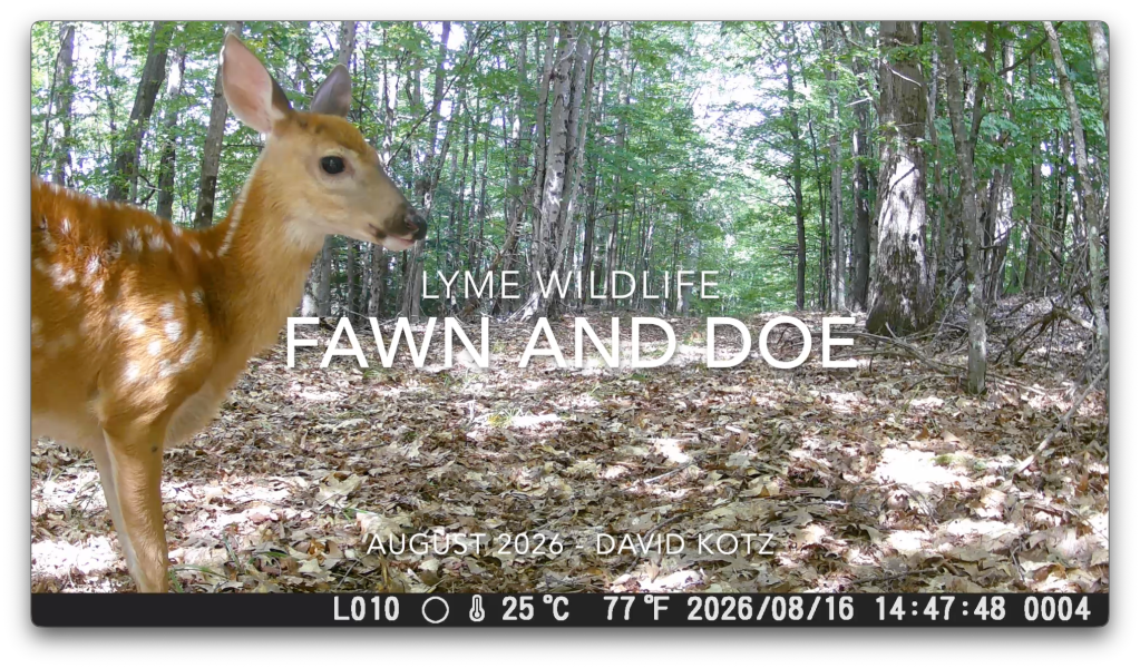
After deploying my five wildlife cameras into a nearby forest, three weeks ago, I went back yesterday to check the cameras and collect the memory cards. Several cameras were askew, hinting that some critters were trying to interfere – and capturing a selfie in the process. You’ll see several of those in this month’s videos! You’ll see bears – lots of bears – deer, coyote, and a new animal I’ve never seen before. Up first: a doe and her fawn. Warning: don’t watch this video unless you can handle massive cuteness!
Our little town of Lyme has several beautiful natural areas, many of them conserved and open to the public. The Lyme Town Forest spans a range of forest types and stretches from the Connecticut River up and over some rolling hills in the northwest corner of town. Today I took a walk on some of those trails – far more difficult than I expected – in search of a waterfall.
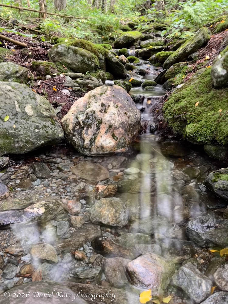
The ‘waterfall’ is not much to look at, in August. Just a trickle!
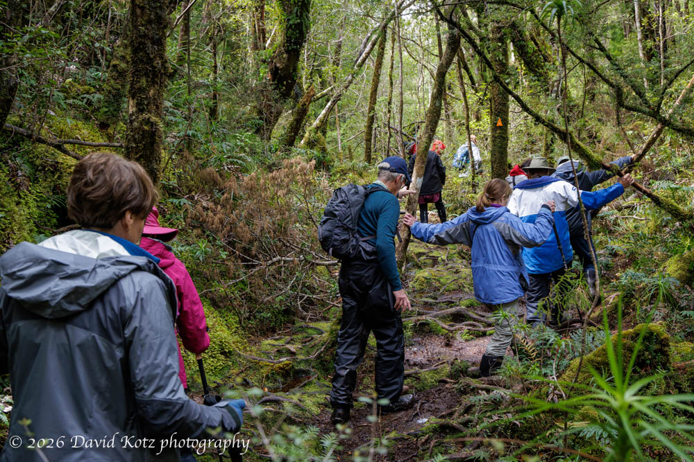
Unfortunately, this trail – the Clay Brook Trail – is severely overgrown, its treadway underused and covered with forest litter, and its painted blazes fading. So I spent much of my time pausing, backtracking, and searching for the route. At times it felt more like bushwhacking than hiking. But it was nonetheless a pretty day in a pretty forest. See the photo gallery!
Mount Moosilauke is of the first places I wanted to visit after returning home from London. My favorite mountain, of course! I headed up early this morning, while it was still sunny, trying to beat the incoming clouds. The result was a lovely hike, with broad views from the summit. I set off at a brisk pace, wondering how I might feel climbing a big mountain after a year of mostly level ground and rolling hills in the South Downs.
One year ago, today, I headed out the door for a year-long sabbatical. The professional core of that sabbatical was my Royal Society Wolfson Visiting Fellowship at Imperial College London, but I also enjoyed meeting colleagues at University College London, during visits to universities across the UK in England, Scotland, and Wales, and at conferences in France, Portugal, and the United Kingdom. The year was academically very productive! And the year also presented incredible opportunities for travel, much of it described in this blog. Here’s a quick summary, with one photo per month. Each month’s heading is a link to the blog posts for that month, and the bullets link to a few travel highlights.
My calves strained as I hiked up the steep, forested hillside, following a familiar route that has no trail and rarely feels the pressure of human soles. Except mine. For this weekend’s hike I decided to stay close to home and visit a patch of forest that I know very, very well. I have traversed this hillside dozens, nay, hundreds of times, following my whim instead of any formal trails. My senses perk up as I move slowly through the underbrush, looking and listening and sometimes even feeling for animal sign, trying to read the land and determine where I might place my motion-sensor cameras to capture interesting videos of the local wildlife.
A beautiful summer day calls for a hike to a beautiful summit peak. Today I decided to climb Spruce Mountain in Plainfield, Vermont. From the guidebook description it looked like it was achievable in the coolness of the morning – perhaps one hour to drive and one hour to hike, each way. The hike follows a pretty trail, beginning with an easy mile along an old forest road, then turning increasingly steep as it winds its way to the summit. There, an old fire tower offers 360º views of central Vermont.
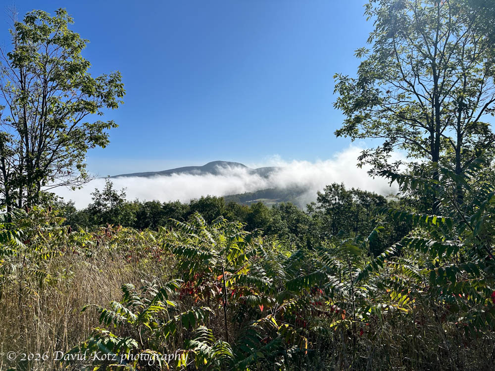
Now that I’m back home, I’m looking forward to hiking some of my favorite places. Today I chose Mount Cube, a small peak along the Appalachian Trail north of here. It’s only a 45-minute drive, a 2-mile hike, and leads to some pretty nice views. It’s my go-to hike when I need a short morning outing. When I set out, early this morning, I was driving through dense fog and (seemingly) cloudy skies, but I knew Mount Cube would rise above all that. It did not fail to deliver.
After yesterday’s post about driving across the USA from San Francisco to New Hampshire, many of you inquired about the experience – what was it like to drive an electric vehicle (EV) like my Tesla Model Y more than four thousand miles across the wide-open spaces of the American West? Very comfortable, and remarkably easy. Read on.
I’ve always wanted to drive across country, that is, across the United States from west to east. In my mind, it was always a leisurely road-trip wandering from state to state, exploring the national parks, historic sites, and cultural touchstones along the way. So, I was pleased when a series of duties and events aligned, finally allowing me the opportunity to drive from California to New Hampshire. The schedule did not allow me to wander leisurely about the landscape – let alone to explore any place in depth, or to pause for serious photography – but the trip nonetheless presented a smorgasbord of scenery, a cross-section of roadside dining outlets, and brief glimpses of Americana.
High-level map of our route, excluding some small side trips; ignore the time labels, which are Apple Maps’ estimate of non-stop drive time. We drove 4,096 miles (6,592 kilometers)!Continue reading “Cross-country USA”
Today I happened to be passing through my hometown of Oneonta, New York, so I took the opportunity to make it the location of my weekend hike. In addition to my travels down memory lane, I took two short hikes: around a hilltop on the west side of town, and then around a wooded park in my old neighborhood on the east side of town.
Along the trails of Table Rock, above Oneonta NY.
For my first hike, I visited Table Rock – a set of hilltop trails above Hartwick College, where I enjoyed a two-mile loop through the forest, past their solar farm, and culminating with a cliff-top view at the western edge of Oneonta, looking back along the interstate highway. It was a nice opportunity to spend some time in the woods, with few other people on the trails.
View from Table Rock, above Oneonta NY.
Later, after driving past my childhood home on the other side of town, I parked at the edge of Wilber Park and walked a quick loop through the upper section, down across the creek, and back along the lower section.
Wilber ParkOur old creek in Oneonta NY.
I then clambored down to the creek itself, and followed it upstream to the location where my brother and I had spent many hours building dams and other projects when we were young boys. It has changed a lot, as the creek meanders and periodic floods rearrange the streambed. Although the creek today was somewhat low on water, it is nonetheless full of memories.
Hike stats:44th consecutive weekend hike Distance: about 4 miles Time: a couple of hours Gain: 354 feet at Table Rock; negligible in Wilber Park
map of my Table Rock hike, starting/ending at lower right