Nearly three years ago, I was in Switzerland for just a few days and was determined to go hiking. As it turns out, early November was not such a great time to visit alpine terrain, and I spent the day wandering through a misty snowstorm, knowing there were grand views – but all were hidden in the low clouds. I enjoyed the hike, though, and it made me more determined to return. This weekend I did – including two spectacular hikes despite some lingering cloud cover. Read on, and check out the gallery; the photos on this page tell the story but don’t capture the beauty of the place or of the day.
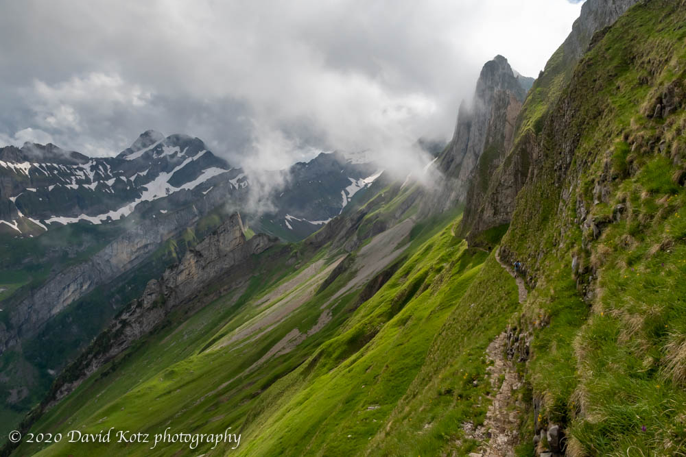
The trail from Schäfler up the valley follows a jagged ‘knife-edge’ trail, with cable handrails and slippery footing.Continue reading “Ebenalp and Äscher”
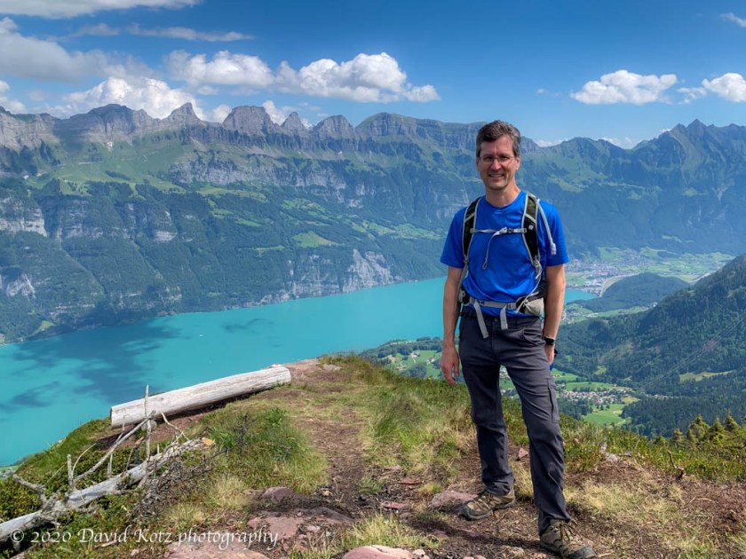
It has been one month since my last ‘real’ hike – on Pilatus – but it has taken that long for my health to return more or less normal after experiencing COVID-19 symptoms a few days afterward. (Fortunately, I tested negative then, and again 10 days later in an antibody test.) So with today’s beautiful weather enticing me outside, I decided to make a quick trip over to Flumserberg – where Andy and I skied in January – to hike where I could really see some views. Read on, and check out the gallery for photos and video.
I took a walk up to the summit of Uetliberg yesterday, and enjoyed its commanding view of the city of Zürich and its lake, Zürichsee. The Alps peeked out of the clouds in the distance. (See full-scale photo.)
Panorama from Uetliberg, looking over Zurich and Zurichsee.
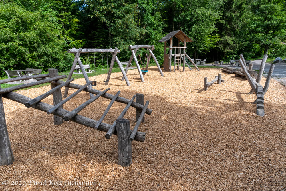
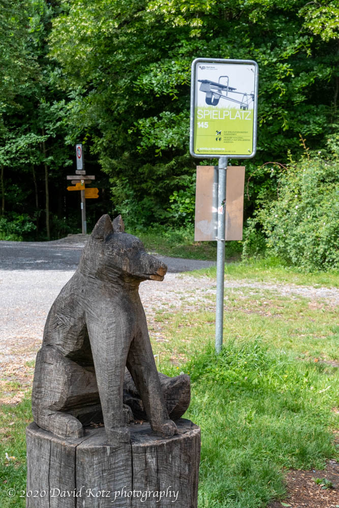
My real goal for the day was to enjoy the network of trails that lead from the edge of the city up through the steep hillside forest to the top. Runners, bikers, and walkers of all ages were out to enjoy this Saturday morning. I enjoyed passing through the Spielplatz (playground) at Höhensteinplatz, along the way, with its wooden-structure playground surrounded by picnic tables and a delightful fountain.
A delightful playground in the Uetliberg forest, in which all elements are made of wood.
It was too early for picnicking families to arrive, but I’m sure this spot is a favorite for parents with active children.
A delightful playground in the Uetliberg forest, in which all elements are made of wood.
Zürich has many of these playgrounds, tucked into tiny lots within the older districts of the city, or sprawling across open patches in the surrounding forest. It’s one of the many reasons why Switzerland is recognized as the ‘world’s best destination for expats’.
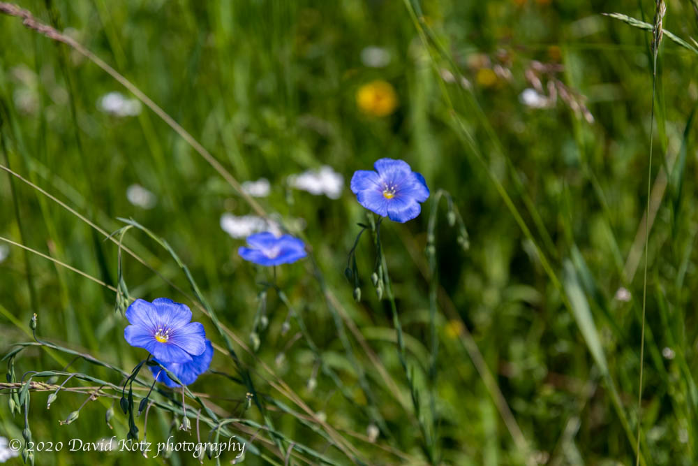
I’ve been a bit under the weather lately so I’m focused on taking easier walks closer to home. This pleasant parkland, in a suburb of Zürich, includes meadows, pastures, forested trails, and two pretty ponds. On this cool Saturday morning I was not the only one out to enjoy this little pocket of nature! Joggers, strollers, bikers, families, and even horseback riders, all hummed by as I explored some of the trail network outside Langnau-Gattikon. The ducks were in the pond, the wildflowers in the meadow, the cows in the pasture, and the smiles were on all the people. I capped it off by walking down toward the lake shore, reaching the Thalwil train station after passing through its flowering uphill neighborhoods. This hike was recommended by Swiss Family Fun. More photos in the gallery.
Scenes from a walk through the outskirts of Langnau-Gattikon, near Thalwil, near Zurich.
I’ve had my eyes on Mount Pilatus for months, since a local friend suggested it as a place for hiking and (in winter) sledging. Andy had hiked there in the fall – walking down from the summit. Today, Andy and I decided to visit and climb up from the base. The funicular railway is closed (due to coronavirus restrictions) so we planned a round-trip from the Alpnachstad train station to the kulm (summit) and return. It was a beautiful day and, though a bit hot and humid for hiking, it still granted us spectactular views. Read on and check out the full gallery.
A beautiful walk through forests and meadows on a clear spring day.
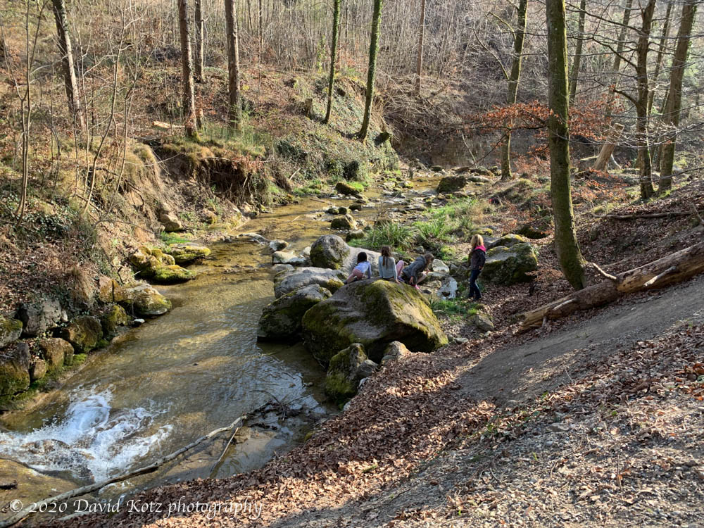
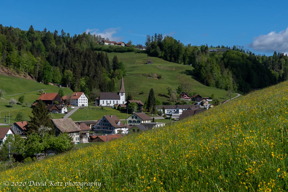
Okay: enough of the “street hiking” in Zürich. It’s time to get back out on the trails and in the woods! It rained the past three days, clearing the air of the haze that accumulated during the long March-April dry spell. Given a sunny forecast, a quiet Sunday morning, and an intriguing route, I hopped a (nearly) empty train to the outskirts of Zürich Canton. An hour later I was walking past the church of the tiny village of Fischenthal, its bell tolling for a service that cannot be held, and then off the road onto a steep dirt track through a pasture. Read on for the full story and more photos.
I enjoy my walk to Zurichberg every day, and have long wanted to share it. So today I experimented with a time-lapse movie. The walk to the viewpoint took me 23 minutes; the movie will take you one minute to watch. (For the steep parts you unfortunately get a close look at the stairs, not the pretty scenery. I’ll have to experiment further!)
The map below is from another day, when I continued clockwise past the “End” to return home.
A hike along the entire length of the ridgeline on the western shore of Zürichsee.
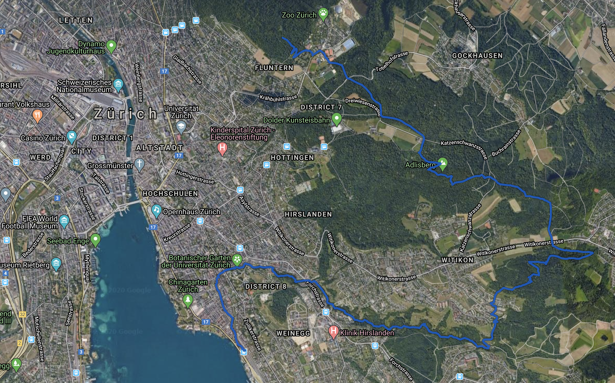
From the windows of our flat we look across central Zürich to the steep slopes of Uetliberg, with its summit hotel, restaurant, and observation tower; the map below is very nearly that same view. I’ve visited there many times for the sunset view, and once for a walk with Andy south along its ridgeline as far as Felsenegg. But I’ve longed to walk the entire ridge, and today seemed to be the day: I walked from Ringlikon at right to Sihlbrugg at the left edge of the map below. It’s much longer than it looks! Read on and check out the gallery.
A dusting of snow, after spring had already arrived.
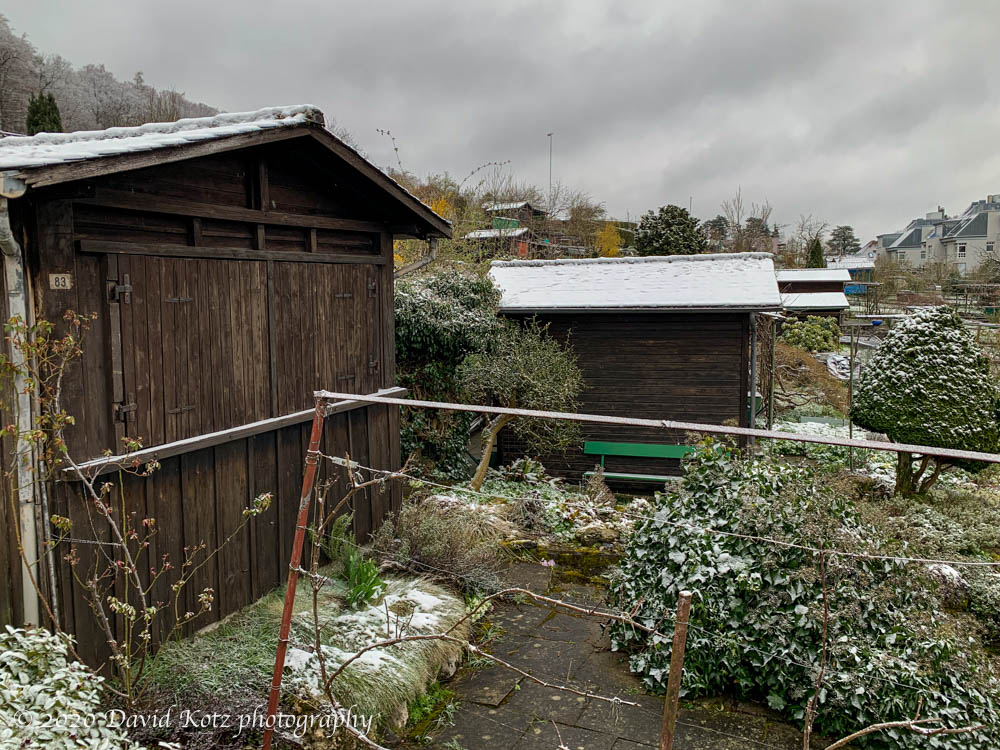
After hiking in a t-shirt on Saturday – a balmy day (close to 20ºC) – I was surprised to wake this morning to see snow covering Uetliberg – the hill on the opposite side of the city. As I climbed my usual route to Zürichberg I soon passed through above the snowline and, where just two days earlier I saw families out preparing their tiny garden plots for the new growing season, the daffodils were covered in a dusting of snow.
Spring snowfalls are nothing new to me. But what surprises me is that this is only the fourth snowfall I’ve seen in Zürich this year, and none of them have dropped more than one or two cm of snow, even in the higher terrain. So I’m wondering: when is it ever winter, anyway?
An eleven-mile walk down the ridgeline from Zurichberg and down to the lake.
It was a beautiful spring day, one of those early warm days that draw you outdoors. With the prospect of alpine hikes unlikely for the coming months, due to safety issues involving avalanches or coronavirus (or both), I decided to walk closer to home.
I climb straight up to the top of Zurichberg every morning, with its lovely view of the distant alps. From that viewpoint I’ve often wondered whether it’s possible to walk down that ridgeline, parallel to the lake. After lunch, I headed up my usual route to Zurichberg. Unlike in the early morning, it was bustling with people… older couples out for a stroll, young families with toddlers in tow, hipsters running with their headphones, and hardcore mountain bikers zipping by. I picked a less-traveled route, but soon discovered that these hills above Zürich are covered with a web of gravel paths, all well maintained, well signed, and well mapped… and today, well populated.
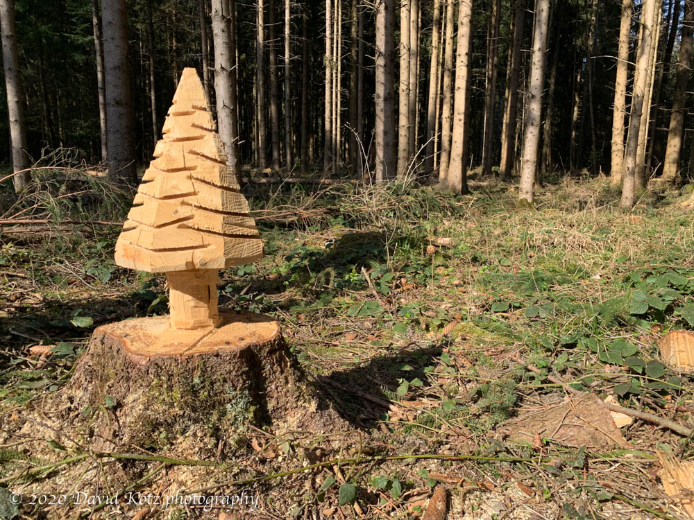
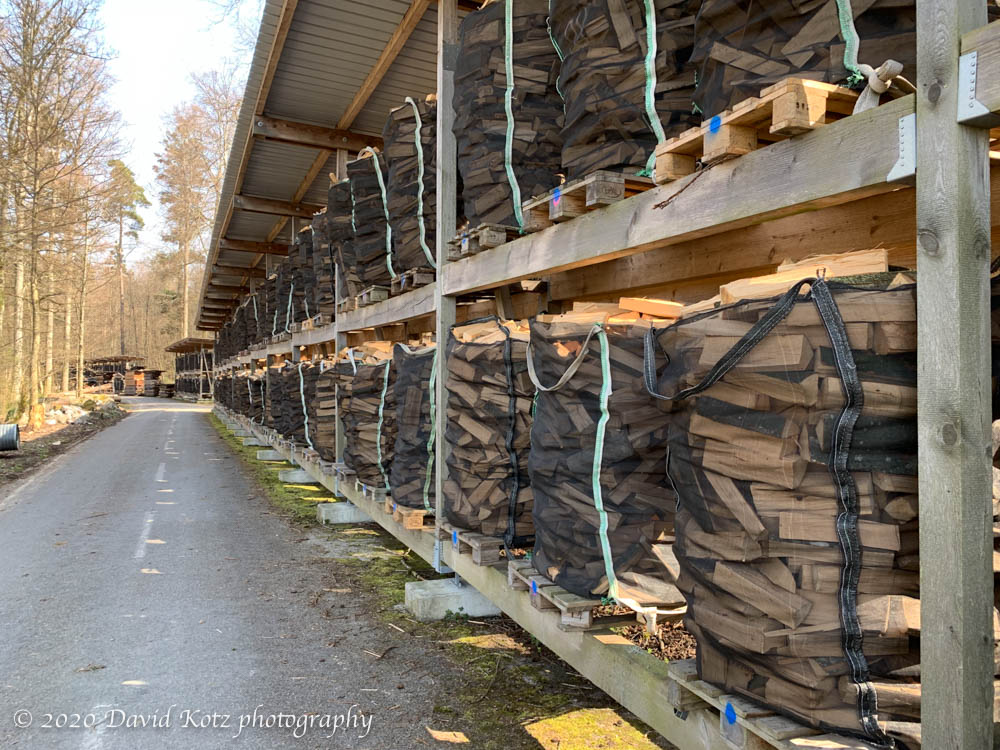
I walked through hardwood forests, with stacks of impressive logs, recently cut, demonstrating how they thin these forests for both the health of the forest and the revenue and raw materials it can produce. I passed small family groups building campfires, or setting out a picnic lunch on a table. I passed couples enjoying a couple glasses of wine on a shared bench. I walked through meadows with wildflowers blooming. And when I decided to head downhill, toward the lake, I wandered the small lanes of suburban towns where people were out preparing their gardens for spring. A lovely scene.
At Tiefenbrunnen I hopped the S6 back to Zürich, paying an extra two bucks for 1st class and I had a train car all to myself for the 15 minute ride.
Most people were careful about social distancing, keeping to the opposite side of the path so I could pass them with the recommended 2m separation. But some were not so careful, and sometimes it was too narrow or too crowded to be truly separated. In retrospect, after passing several hundred people on the trails today, I would have been better off spending 2-3 hours on an empty train to reach a distant trailhead for an empty trail.
I took few photos and have no gallery, but I include a few interesting scenes below the map.
Stats: 11 miles, 3.5 hours.
My route is shown in blue, starting at top center and ending bottom center. I forgot to start the track at home, so it actually starts on Zürichberg just before I left my usual turf and headed into the great unknown to its southeast.


 After hiking in a t-shirt on Saturday – a balmy day (close to 20ºC) – I was surprised to wake this morning to see snow covering Uetliberg – the hill on the opposite side of the city. As I climbed my usual route to Zürichberg I soon passed through above the snowline and, where just two days earlier I saw families out preparing their tiny garden plots for the new growing season, the daffodils were covered in a dusting of snow.