It was a beautiful spring day, one of those early warm days that draw you outdoors. With the prospect of alpine hikes unlikely for the coming months, due to safety issues involving avalanches or coronavirus (or both), I decided to walk closer to home.
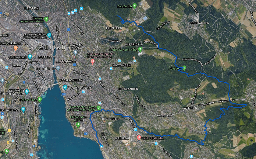
I climb straight up to the top of Zurichberg every morning, with its lovely view of the distant alps. From that viewpoint I’ve often wondered whether it’s possible to walk down that ridgeline, parallel to the lake. After lunch, I headed up my usual route to Zurichberg. Unlike in the early morning, it was bustling with people… older couples out for a stroll, young families with toddlers in tow, hipsters running with their headphones, and hardcore mountain bikers zipping by. I picked a less-traveled route, but soon discovered that these hills above Zürich are covered with a web of gravel paths, all well maintained, well signed, and well mapped… and today, well populated.
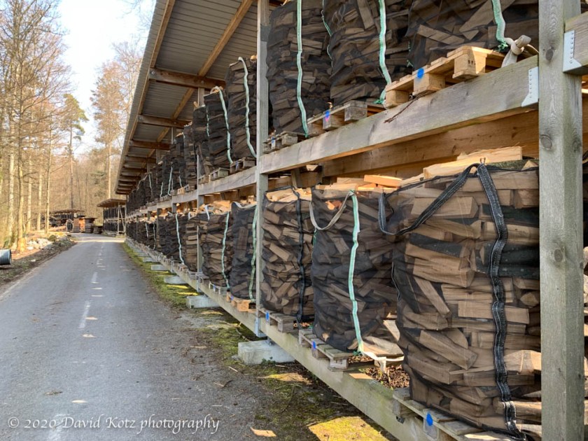
I walked through hardwood forests, with stacks of impressive logs, recently cut, demonstrating how they thin these forests for both the health of the forest and the revenue and raw materials it can produce. I passed small family groups building campfires, or setting out a picnic lunch on a table. I passed couples enjoying a couple glasses of wine on a shared bench. I walked through meadows with wildflowers blooming. And when I decided to head downhill, toward the lake, I wandered the small lanes of suburban towns where people were out preparing their gardens for spring. A lovely scene.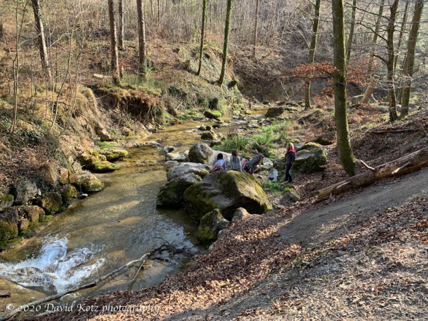
At Tiefenbrunnen I hopped the S6 back to Zürich, paying an extra two bucks for 1st class and I had a train car all to myself for the 15 minute ride.
Most people were careful about social distancing, keeping to the opposite side of the path so I could pass them with the recommended 2m separation. But some were not so careful, and sometimes it was too narrow or too crowded to be truly separated. In retrospect, after passing several hundred people on the trails today, I would have been better off spending 2-3 hours on an empty train to reach a distant trailhead for an empty trail.
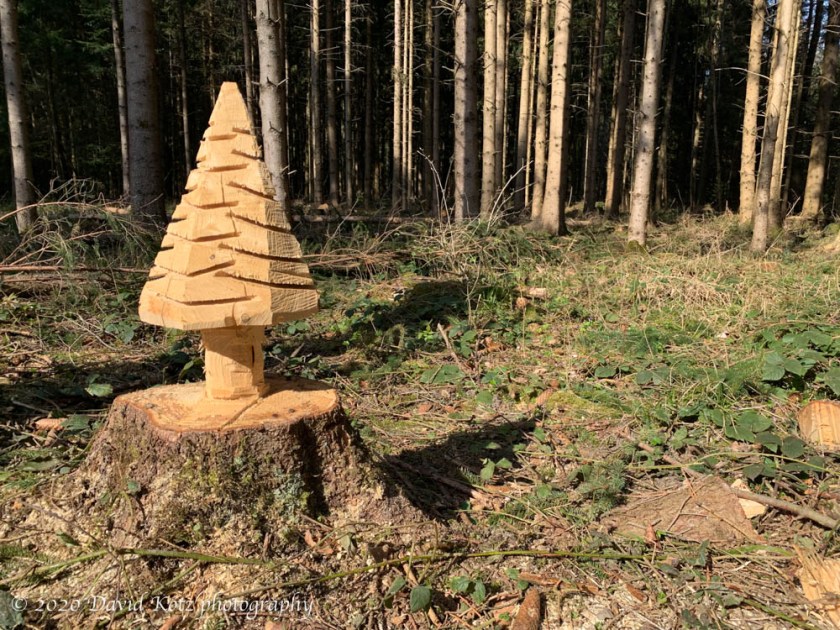
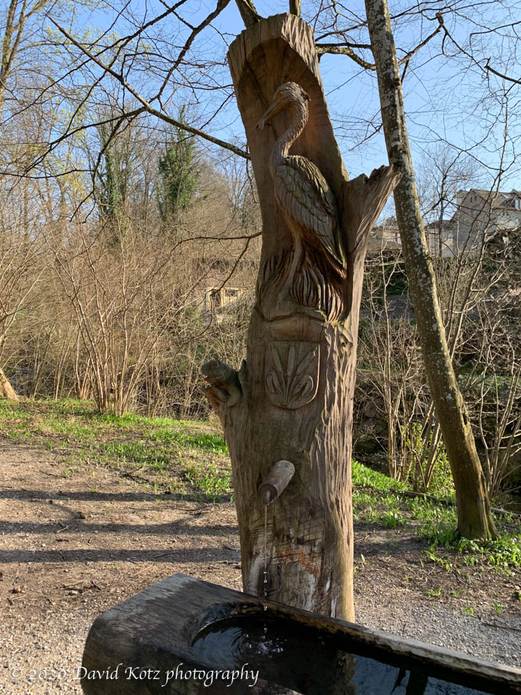
I took few photos and have no gallery, but I include a few interesting scenes below the map.
Stats: 11 miles, 3.5 hours.