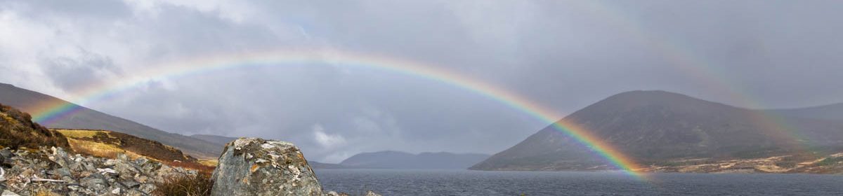
I’ve lived in Lyme, NH for almost 20 years, very close to its lowest point along the Connecticut River. I first climbed to the summit of Smarts Mountain, Lyme’s highest point, 35 years ago this fall. Now, when I row my shell up the river and past the mouth of Grant Brook, I can see Smarts in the distance, looking regal in its oversight of this wonderful town we call home. I knew that Grant Brook’s source lay high on the slopes of Smarts Mountain, so it occurred to me: could I travel from Lyme’s lowest point to its highest point, completely off-road? Yes! Read on, and check out the photos.
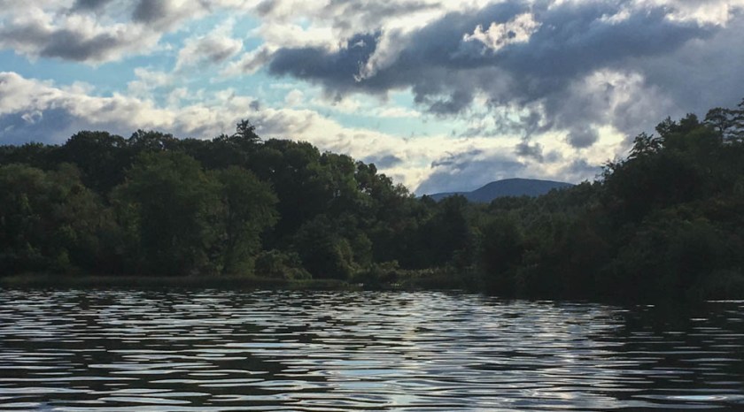
The mouth of Grant Brook, with its source, Smarts Mountain, in view at rear.
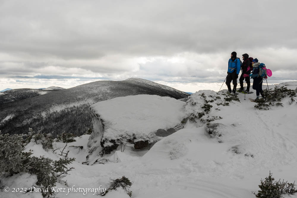
On a cloudy day in mid-winter, we decided to climb North Twin from the north. We wore snowshoes for the climb up and butt-sleds for the ride down. The conditions were excellent for a snowy outing. This brief video gives you a sense of the terrain as we neared treeline. Even the stream crossings were well-covered in snow bridges.
Chatting with other hikers at a viewpoint near the summit of North Twin, with South Twin in background.
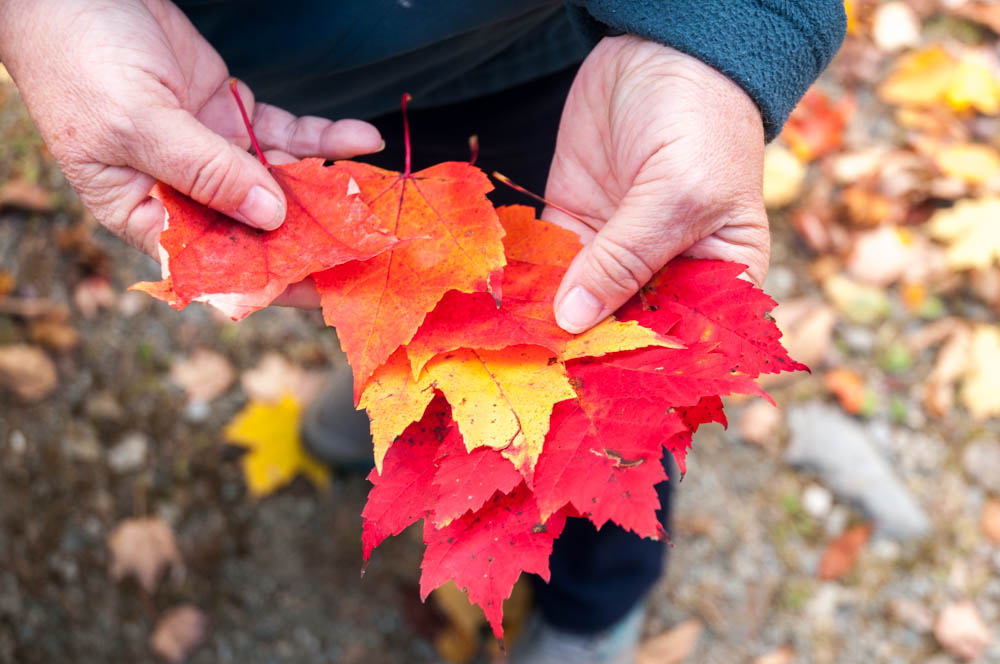
This month is shaping up to be a beautiful example of Fall in New England. This weekend I managed to spend time out in the woods on both Saturday and Sunday.
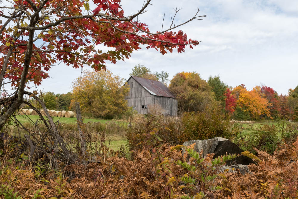
Fall colors around a meadow in Lyme.
On Saturday I bushwhacked around the property boundary of a conservation easement in Lyme Center, on behalf of the Upper Valley Land Trust. This beautiful patch of forest and meadows, a mix of hardwoods with some pine and fir stands, weaves up and down over the rolling terrain between the Connecticut River valley and the steep hills of east Lyme and the Skiway. The colors of Fall were just beginning to peak in a few species, and the woods were peaceful with the sleepy conditions common to late summer and early fall. The deep farming history of this region was clear as I scrambled over old stone walls, past barbed wire long absorbed into the border trees, and old blinds used by generations of Lyme hunters. The bluebirds flitted between sugar maples and apple trees on the edges of the meadows overlooking the Grant Brook valley. Not a bad way to spend a Saturday morning.
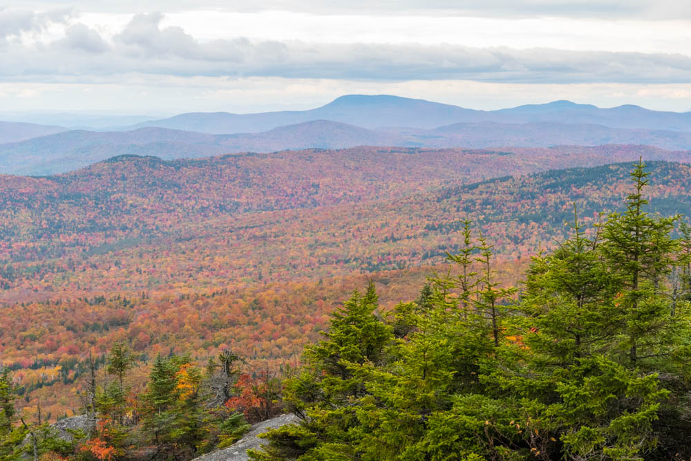
Fall colors from summit of Cardigan.
On Sunday I led a small group up the western slopes of Mount Cardigan, a bit further south in Canaan. The colors here were further along, as we climbed toward the bare summit of this popular peak. Although the sky was cloudy and the wind brisk, the group’s spirits were high as we enjoyed the 360-degree view of multicolored hills rolling off into Vermont, New Hampshire, and beyond.
More photos on SmugMug – watch this gallery for more as the Fall progresses!
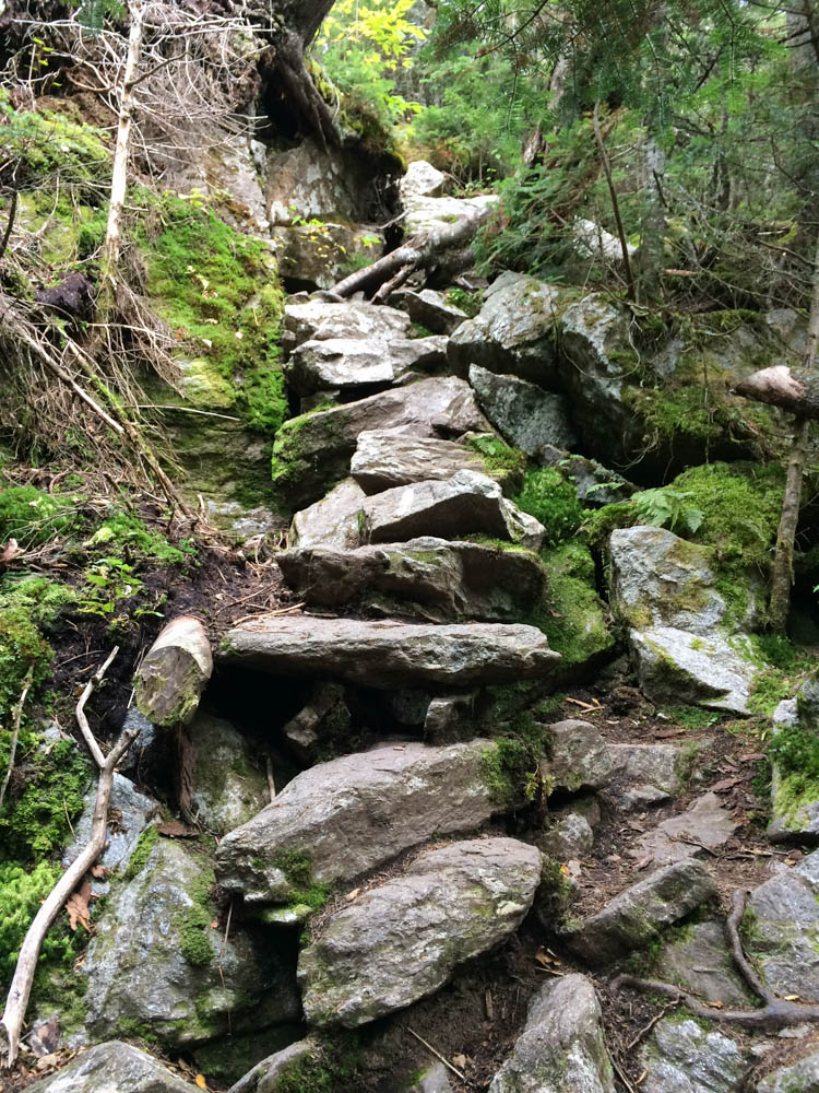
An example of the rugged trail along Wildcat ridge, and the impressive rockwork needed to support hikers. It’s even steeper than this photo makes it look!
I had the honor of accompanying my dear friend Lelia on a two-day backpacking trip across the Wildcat and Carter range, in the eastern part of the White Mountain National Forest, to complete her list of 48 four-thousand-foot peaks. We managed a late start on Friday afternoon, heading steeply out of Pinkham Notch from Glen Ellis Falls to scramble up the Wildcat Ridge. This route fortunately provides some nice views of the Notch, and eventually of the Presidential Range, though it spends most of its length deep in the scrubby trees of a New Hampshire ridgeline. The ridge is rough, with many ups and downs and scrambles around boulders. We enjoyed the late-afternoon sunshine, and reached the rocky outcrop known as Wildcat D as the light began to fade. I paused here for a moment to reflect on my own journey to the 48 peaks, which I had completed here – on this very spot – 20 years earlier.
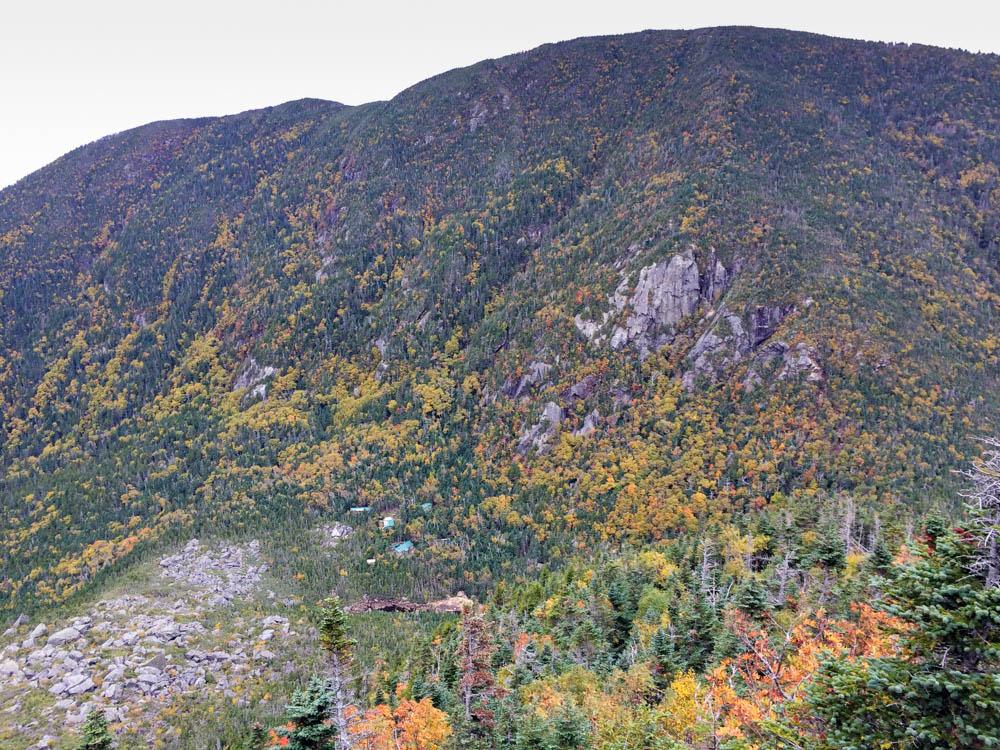
A morning view into Carter Notch, with the hut and ponds visible at bottom, and Wildcat ridge behind, from an outlook on the climb up to Carter Dome.
We could just barely see our destination down into Carter Notch, in the dim light, and began to scramble down the steep and jumbled blocks of the trail into the notch. I finally gave in to the need for headlamps, and we pushed past the creaky door of Carter Notch hut, well after dark, to the warm and relieved smiles of Lelia’s husband and son.
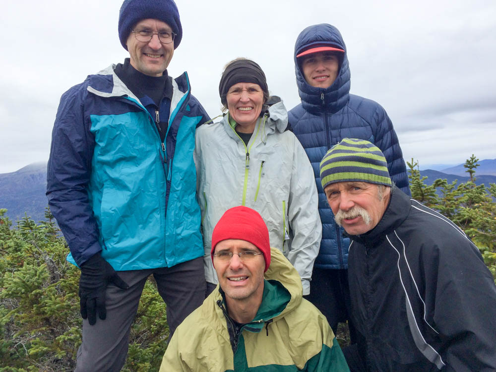
Celebrating Lelia’s 48th NH 4000-footer on Middle Carter mountain with the Presidential Range behind; with David, Lelia, Will, Lars, and Bill.
The next morning broke a bit cloudy. Concerned about spending a day hiking through drizzle, we clambered up the steep slope of Carter Dome. Right on schedule, we met another friend – a veteran 4000-footer himself – and continued along the ridge. On Middle Carter we cheered Lelia’s 48th peak with cheese and crackers and celebratory beverages. Her thirty years of determination and perseverance paid off! The weather had held out nicely, and we had fine views of the Presidentials to the west and the Maine peaks to the east. We scampered down the Imp trail into the Notch, enjoying the bright colors of fall, and capped off a fine weekend with a hearty dinner at Pinkham Notch camp.
To welcome in the new year, as we have done so often before, I headed off with a group of friends to a cabin on the side of Mount Moosilauke in the core of New Hampshire’s White Mountains. Great Bear Cabin is a cozy log structure nestled along the Appalachian Trail as it heads northward up the slopes of Moosilauke, and has become somewhat of a traditional winter outing for me and my kids. Although my kids were unable to attend this time, our party included three children and eight adults – friends for over thirty years – including one of the original builders of the cabin. With the woodstove roaring, and the woods frosted from a recent snowfall that glazed the trees and blanketed the nearby meadow with 10″ of fresh powder, we were cozy indeed.
Somehow we never got around to our annual late-August family backpacking trip. I was determined to get out, anyway, so we took two short trips. On September 30, Andy and John and I headed directly from school to a trailhead on the west side of Moose Mountain. We hiked up to reach the A.T. where it crosses a col between north and south peak, then pulled into the shelter just as it got dark and began to rain. We poked around in the dark looking for the water supply, and settled in just as a huge thunderstorm struck. Nothing like being in an open shelter, on a ridgeline, in a thunderstorm! We had to leave the next morning, skipping our second night out, because John was feeling ill.
Andy and John backpacking on Moose Mountain.
Two weeks later, Andy and Mara and I headed for Holts Ledge, hiking up to Trapper John shelter late on Saturday afternoon, with just enough daylight to explore a bit and then settle in. It rained overnight, but the next morning we were able to climb up to Holts Ledge for a view of the fall colors.
Mara and Andy can’t wait for ski season, as we visit the top of Holt’s Ledge during the peak of foliage season.
I had only my iPhone, and limited light, but took some photos.
This post was transferred from MobileMe to WordPress in 2021, with an effort to retain the content as close to the original as possible; I recognize that some comments may now seem dated or some links may now be broken.
This trip is not far from home – just into the interior of Lyme, our own hometown. Every week during the fall the kids went to riding class; on this particular day, I think we hit peak fall colors. While the kids did their riding, I took a few hundred photos. See a small selection of my favorites in a photo gallery.
Fall colors in Lyme NH.
This post was transferred from MobileMe to WordPress in 2021, with an effort to retain the content as close to the original as possible; I recognize that some comments may now seem dated or some links may now be broken.
The Second College Grant is 27,000 acres of wilderness at the very northern tip of New Hampshire.
John and I spent a long weekend in Dartmouth’s Second College Grant, staying at Peaks Cabin, after three glorious days of summer-like weather with late-fall colors. The afternoon temperatures were nearing 80. With bright sunshine and blue skies the hills were ablaze with color, a bit past peak but the yellows and oranges were nonetheless brilliant. I have not been to the Grant, other than mid-winter, in over 15 years; what a treat! Read on…
I have been fortunate to be able to get out hiking and canoeing.
Summer is a grand time in New Hampshire. The days are long, the forests lush, and the rivers calm. The weather recently has been fantastic, mostly warm and sunny but not too hot. I’ve been able to get outside a few times, with my camera:
A four-mile round-trip hike along the Long Trail [photos]
A two-day paddle along the Connecticut River [photos]
A five-mile pre-breakfast loop through (and over) Dixville Notch [photos]
A five-mile round-trip up Mount Jefferson [photos]
I hope to get out more, sometime soon!
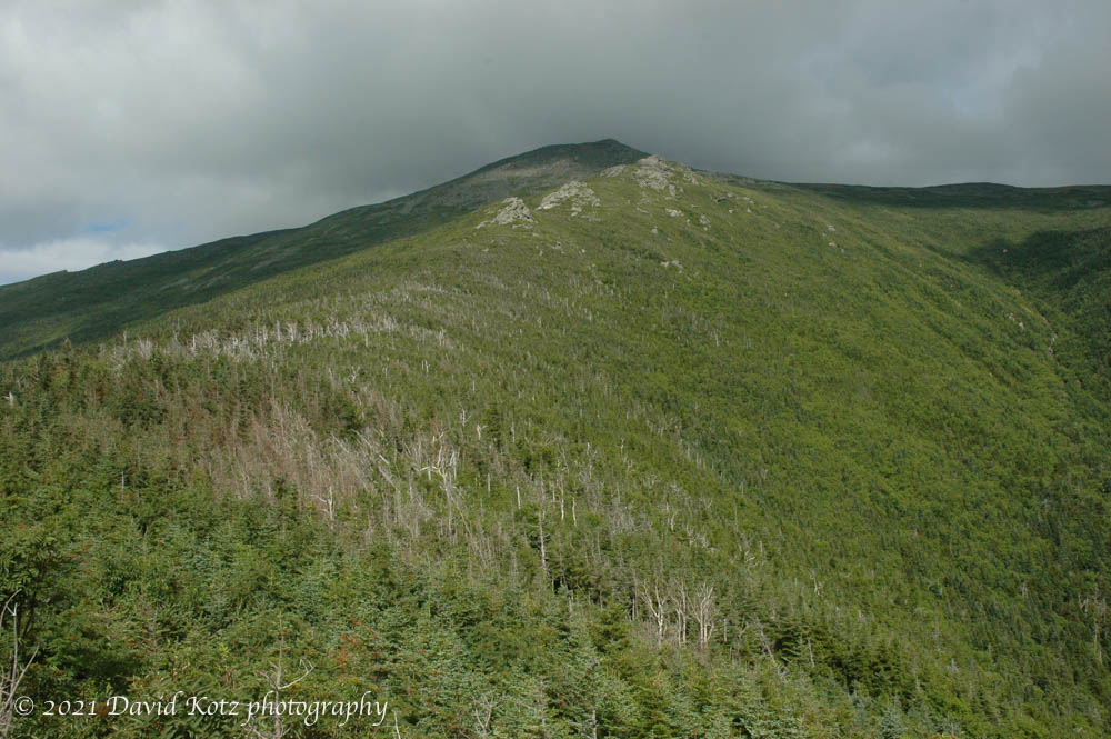
The Ridge of the Caps starts at 3000′ elevation.
This post was transferred from MobileMe to WordPress in 2021, with an effort to retain the content as close to the original as possible; I recognize that some comments may now seem dated or some links may now be broken.