
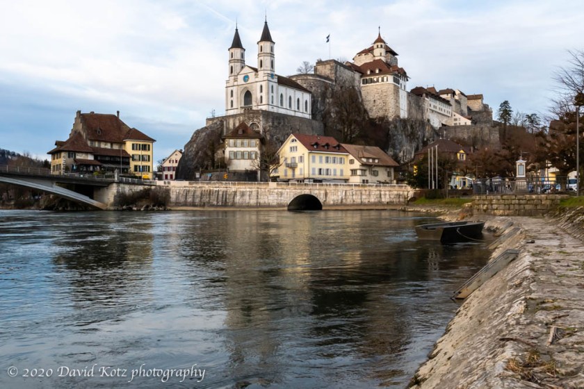
Inspired by the sunny weather on Sunday morning, I sought a nearby opportunity where I could do a little hiking and find some interesting photographic subjects. Twice I had caught a glimpse of this stunning castle while my Zürich-bound train crossed the river Aare, and I had made a point to return. My goal was to find the Aarburg castle, first built in the 12th century. “Today it houses the Kantonale Jugendheim, for holding and rehabilitating juvenile offenders” [Wikipedia]. Interesting! Read on, and check out the photo gallery.
After studying maps of Aarburg and surrounding area, I happened across a blog post about a lovely hike from the neighboring town of Olten, following a trail that climbs to a high point across the river from Aarburg. The route was easily modified to leave the described hike at its closest approach to Aarburg, and then drop down to the river, across the bridge, and beside the castle itself – then to the Aarburg bahnhof to catch a train home. Perfect!
I soon found myself disembarking in Olten, a mere 30-minute ride from Zürich. Like most Swiss train stations, an underground tunnel allows passage from the tracks to the station, and in this case, to the riverside terrace. From there, the ubiquitous yellow Swiss Wanderweg signs guide visitors across the river and onto the wooded hillside trails.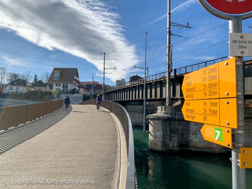
I passed many locals, out for a stroll on this unseasonably warm (13ºC, 55ºF) “winter” afternoon, and felt thoroughly overpacked and overdressed in my full winter-hiking kit. I didn’t expect any snow, here below 700m in such temperatures, but always prepare.
The trail glided gently uphill, following the edge of the limestone cliffs that hug the River Aare as it meanders through these fertile valleys, with distant views of the Alps visible through the bare winter trees. Every few hundred meters was an informational sign, erected by the municipal parks district, with educational material on the ecology, geology, or history of the surrounding terrain. After about an hour I came to the high point – marked by an impressive stone marker, but in an otherwise unremarkable spot. (Some of the other stone markers made me think I was in Middle Earth.) I then turned left to head down toward Aarburg.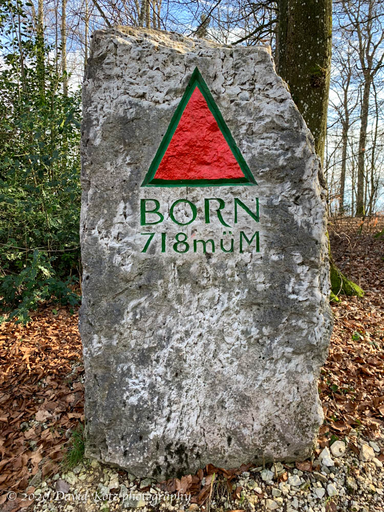
I soon reached the top of the 1000er Stägeli – the thousand-step staircase – which is literally a series of log steps ascending directly up the steep slope from Aarburg. I gazed down at the Sunday walkers puffing their way up these stairs, and decided to take a less direct descent.
Again following the blog post, I followed the clifftop trail back toward my origin until I came to a gap in the cliff, where a steep zig-zag trail dropped me toward the valley, past a small monolithic rock nicknamed the “kleines Matterhorn”. Remarkably, I passed a patch of wildflowers (in mid February!).
Soon I was at the Höfli restaurant, perched delightfully among the meadows of the lower hillside, directly opposite the Aarburg castle. From a window seat I sipped a beer while I watched the sunlight shift on the castle walls, as the sun dropped toward the horizon around the corner of the hill.
I paid my tab and walked the remaining couple hundred meters down to the river, across the bridge, and into a riverside park on the far bank, where I explored a variety of photographic approaches to catch the day’s final light on the castle and its churchfront. As the ducks paddled the swift river currents below, families strolled the riverbank, children played in the adjacent park, and a café hosted a birthday party for an older couple with friends and family. As the streetlights came on I strolled up a few blocks to the bahnhof, once again grateful that so many Swiss hikes are directly reachable by train – and that they enable end-to-end hikes like this one.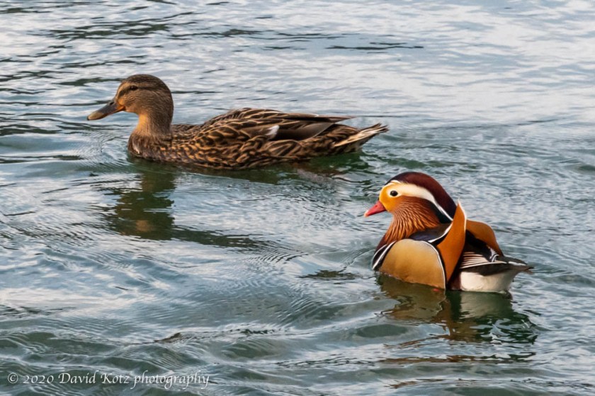
Check out the photo gallery. I’ve included photos of the castle and church, of course, but also some photos that provide a bit of context to this story.
Stats: 10.27km with 367m gain (350m drop), in 3h35 including a beer stop at Höfli and many stops for photos. 10kg pack including camera, lenses, tripod.

