
Although it is late fall, and I’m seeing the occasional Züricher happy lugging skis toward the train station enroute to a day of skiing at one of the high-altitude resorts, the lowlands are still snow-free and quite lovely. Indeed, yesterday the forecast was for warm (12-14ºC) though blustery conditions. I decided to tackle Schnebelhorn, the highest point in the Canton of Zürich. Read on, and check out the photo gallery.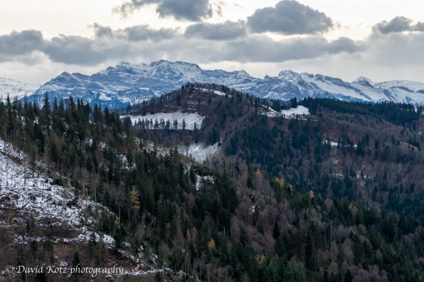
Highest point – that’s not saying much. Zürich is a small and flat (by Swiss standards). Schnebelhorn is only 1,292m, and thus little more than a prominent hill. Though in New Hampshire it would rank as a four-thousand-footer, and we are several degrees closer to the North Pole here in Switzerland, Schnebelhorn is dotted with farmhouses and its slopes are pasture, all the way to the summit.
The weather forecast included a warning of “stormy winds”, 25km/h gusting to 65km/h. No problem, that’s pretty routine for the summits I climb. The difference, I found, is that most of the Schnebelhorn hike is exposed to the wind, because most of it is along country roads and paths surrounded by pasture.
I took the train from Zurich to Steg, less than an hour away and still inside the ZVV (Zurich) commuter zone. The trail signs begin right at the train station and I was soon walking the main street of tiny Steg toward the farms on the edge of town. My route (see below) ended up being more than 17km, the great proportion of it road-walking, both paved and unpaved. This is working land, dotted with farms and covered with pasture for cows, goats, and sheep. In a few places, I passed tidy vacation homes, mostly closed up for winter. In others, the yellow-marked wanderweg path wound right through a farmer’s barnyard or farmhouse backyard. It’s lovely that the Swiss are so accommodating to walkers, and so thorough in their maps and signage.
As I circled the ridge around the broad valley headed by Schnebelhorn, I wandered up and over smaller bumps, pausing now and then for the views. Every now and then I’d get a peak at the snow-capped Glarusalps, peeking over a neighboring hillside. I saw remarkably few other hikers.
As I approached the high point, patches of last week’s snowfall was clinging to the grass, melting fast in today’s warm and blustery wind. Indeed, a few gusts attempted to blow me over occasionally… but I soon reached the top, where four other people sat around the picnic table and enjoyed the panoramic view of the Glarusalps to the east and south, and the rolling hills of Zurich to the north and west. Below, a view to the east/southeast.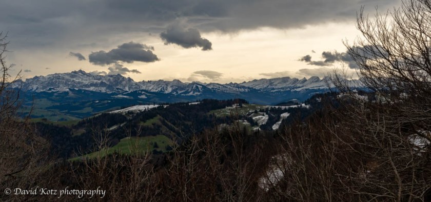
It was tough to leave this view, but I scrambled through the pasture and soon reached the end of a road – complete with odiferous barn and tiny farmhouse/restaurant. It appeared to be open for business, but I continued onward. Several miles of (mostly) road-walking were ahead of me. Most of the time, at least, there were distant views or nearby farmyards to observe as the road twisted its way along the hillside, steadily descending back toward my starting point in Steg.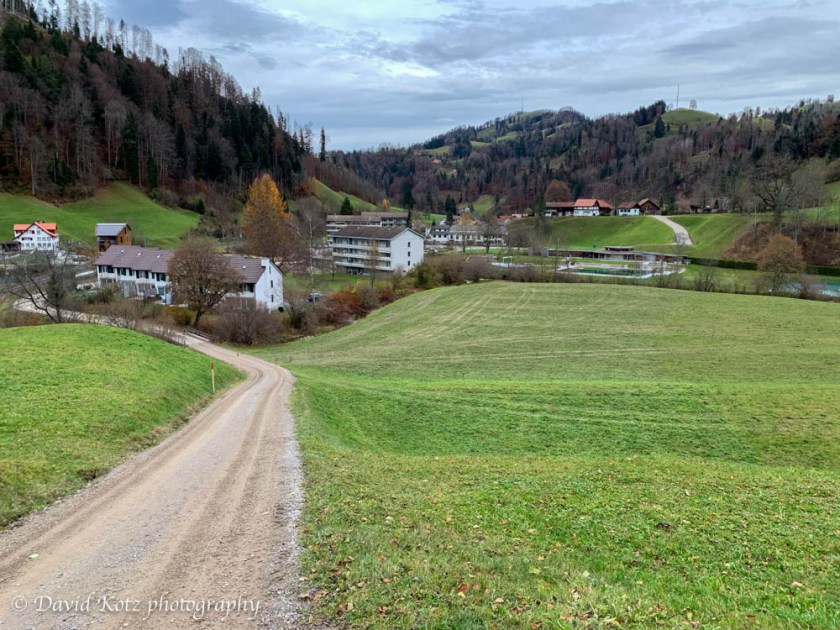
Back in Steg, I stopped in at a roadside bakery for a treat before hopping the train back home. One of the joys of hiking in Switzerland!
Check out the photo gallery. If you want to keep up with our adventures, click “Follow” at right.
Hiking notes:
- I followed the instructions and description on this page, but took a wrong turn at the beginning (thinking I was doing the route counter-clockwise, instead of clockwise as described, but then correcting myself to re-join the described route after about 2km). I also used the gpx file from this page, downloaded into GaiaGPS on my phone, as a way of staying on track. I am pretty sure these two hikes match.
- My route was 17.8km round-trip from Steg bahnhof, gain 637m, time 4h35 including stops.


One thought on “Schnebelhorn”