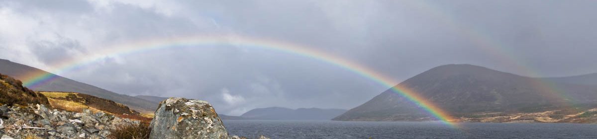
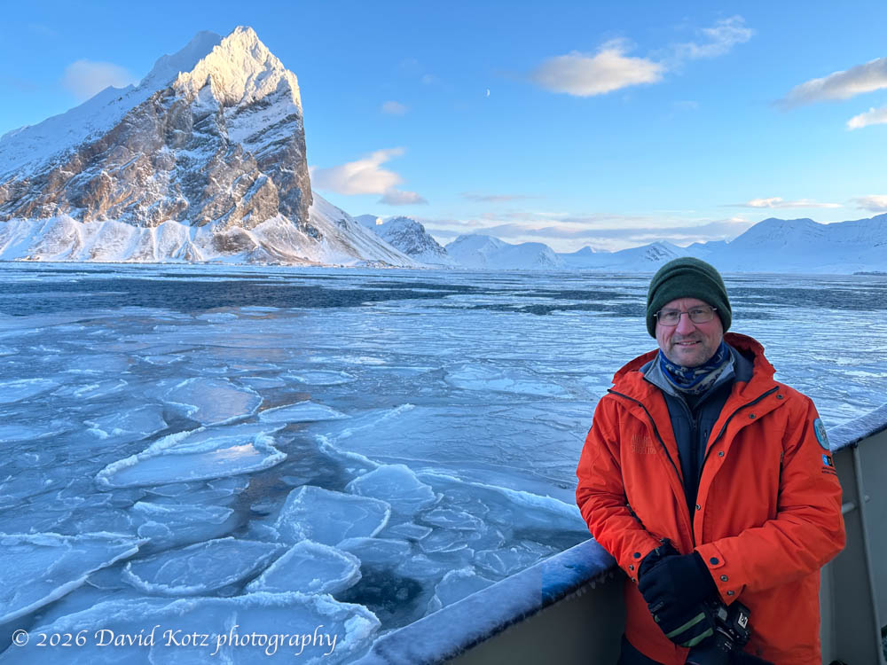
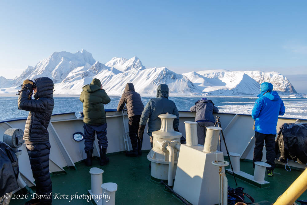
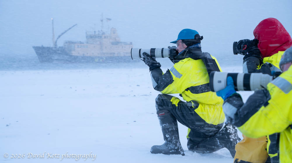
For my final installment in the Svalbard series, I share some of the incredible scenery we encountered on this arctic archipelago in late March. When I speak to others about this trip, they imagine a land covered in snow and ice would be monotonous. Far from it! The stark contrast between rock and snow, the ever-shifting sea ice, and hour after hour of low-angle sunlight led us to some spectacular photographic opportunities.
A belated post to share photos from my visit in March.
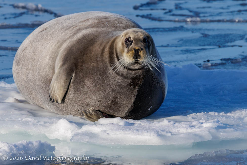
As regular readers know, I spent ten days on an incredible cruise around the arctic archipelago of Svalbard, latitude 77-80º north, in late March. I was there for a week-long photography workshop with Muench Workshops, aboard the MS Virgo, and captured over 12,000 raw images in ten days! It has taken me many months to winnow this collection down to just a precious few that I want to share with you. My earlier posts included photo/video galleries with an overview of the trip, the town of Longyearbyen, walking on ‘fast ice’, and landing on the windswept Moffen Island at 80º north during a snow squall. Today I’m going to highlight some of the wildlife we encountered, and share three new photo/video galleries.
I’ve just completed an amazing ten-day visit to Svalbard, an Arctic archipelago far to the north of Norway. In a prior post from Longyearbyen (the only substantial town in Svalbard), I described the fascinating multi-national character of these islands located at 76-81ºN latitude, only 600 miles from the North Pole. I flew here for a week-long photography workshop with Muench Workshops, aboard the MS Virgo. In this post I’ll share an overview of the ship, our itinerary, and our activities. I’ve posted a photo gallery; the videos may give you a good sense of the incredible landscape, but I am saving the best shots for future posts focused on wildlife and landscape – I’m still sifting through over 12,000 raw images snapped over ten days! [Postscript: One of my trip-mates put together a really nice five-minute video about our trip.]
Today was not a typical hike, by any stretch of the imagination! While a light snowfall whipped across the featureless arctic landscape of Moffen Island – a tiny islet three hours’ sail north of Svalbard’s mainland at 80ºN – we walked across the southern spit to photograph a group of walruses that had hauled out of the sea for a long nap.
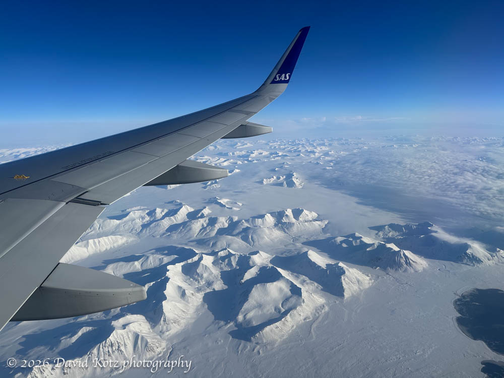
I’ve just concluded a 48-hour visit to Longyearbyen, the largest settlement in Svalbard, an archipelago far, far above the Arctic Circle. (Just to give you a sense how far north, the flight from Oslo (Norway) lasted over two hours.) The weather was fantastic and the flight delighted us with spectacular views of the snowy mountains and fjords as we descended along the west coast before landing just outside Longyearbyen.
This ends my series of posts (beginning here) about our trip to southern Greenland. I found it to be a beautiful, fascinating place. For convenience, I’ve gathered all the photos and videos in one chronological gallery. Although I feel like we saw a lot, we just scratched the surface – only in the deep south, and only on the coastline. The northern regions, and the interior, are a dramatically different place. Maybe I’ll be able to return someday!
Map of our voyage from Reykjavik Iceland (at right), just before we reached Kangerlussuaq Greenland (at left).
In addition the expedition staff, two Greenlanders joined us for the entire cruise: an Inuk cultural ambassador, and a businesswoman born in Iceland but descended from Greenlandic grandparents and whose career includes service as an elected council member in the capital city of Nuuk. From listening to their formal presentations and from informal conversations, we had an opportunity to learn more about the indigenous traditions as well as modern Greenlandic culture and politics. We also had the opportunity to visit contemporary communities – two tiny settlements and a large town. Read on for more!
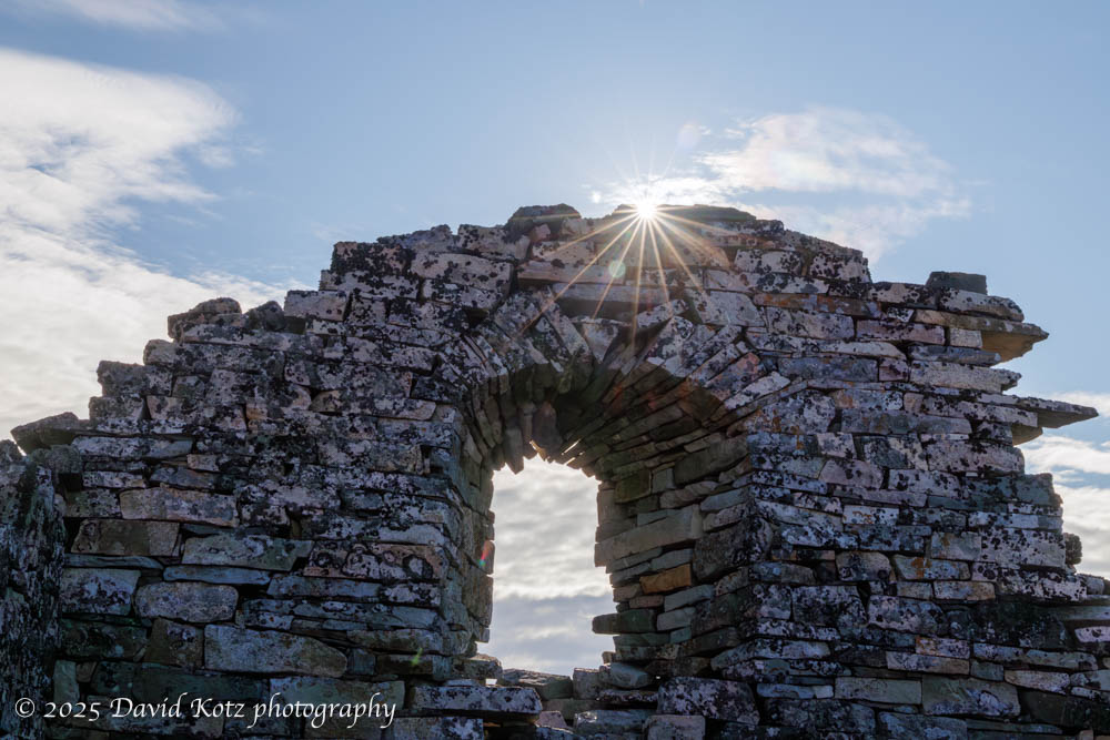
As we cruised the fjords on the southwest coast of Greenland, we had several opportunities to learn about the cultures of Greenland – historic and contemporary – and to visit archaeological sites, small villages, and busy towns. This post focuses on two historic settlements, each now recognized as a UNESCO world heritage site. Read on for more…
One might imagine becoming stir crazy during ten days aboard ship. Fortunately, the expedition team offered many opportunities to go ashore! Nearly every day they would offer short, medium, and long walks. Some were billed as a ‘photo walk,’ accompanied by the ship’s photo experts; others were focused on interpretation of the ecology or history; still others were pointedly called a ‘strenuous hike’ for which exercise was the goal and there would be no time to stop for photos or natural-history lessons. We were fortunate with good weather – sometimes fantastic weather – so I had the opportunity to hike at Dronning Marie Dal (in Skjoldungensund), at the outlet of the Sermeq glacier (at the head of Tasermiut fjord), around the Hvalsey historic site, around the village of Qassiarsuk, and in the tundra above Neria fjord. The scenery was dramatic, and varied tremendously from place to place. Read on for more!
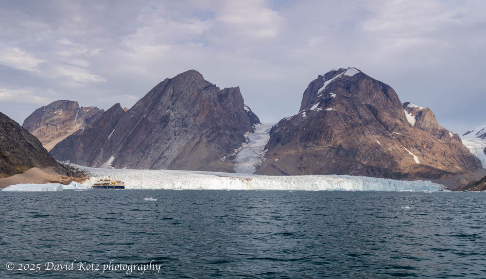
It’s hard to imagine the size of Greenland, or its ice cap. Even those glaciers that flow down to the sea, like the Thryms glacier below, are truly massive. (Notice our ship, the National Geographic Endurance, at lower left!) Read on for more about our outings among the ice, including video…