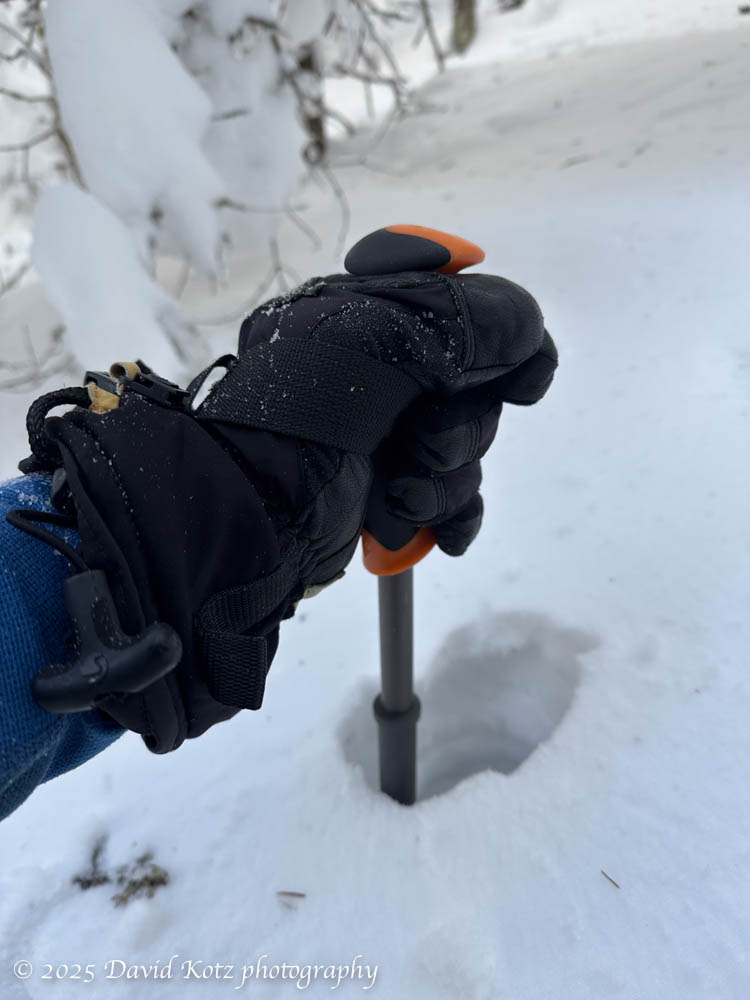
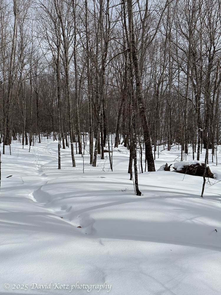
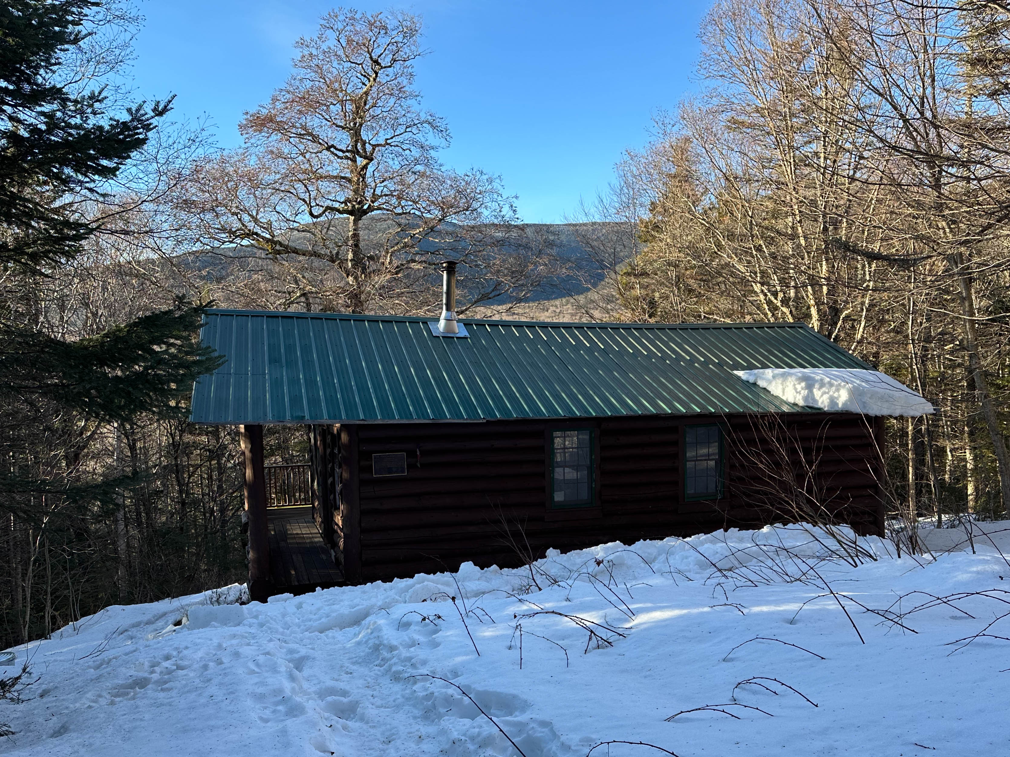
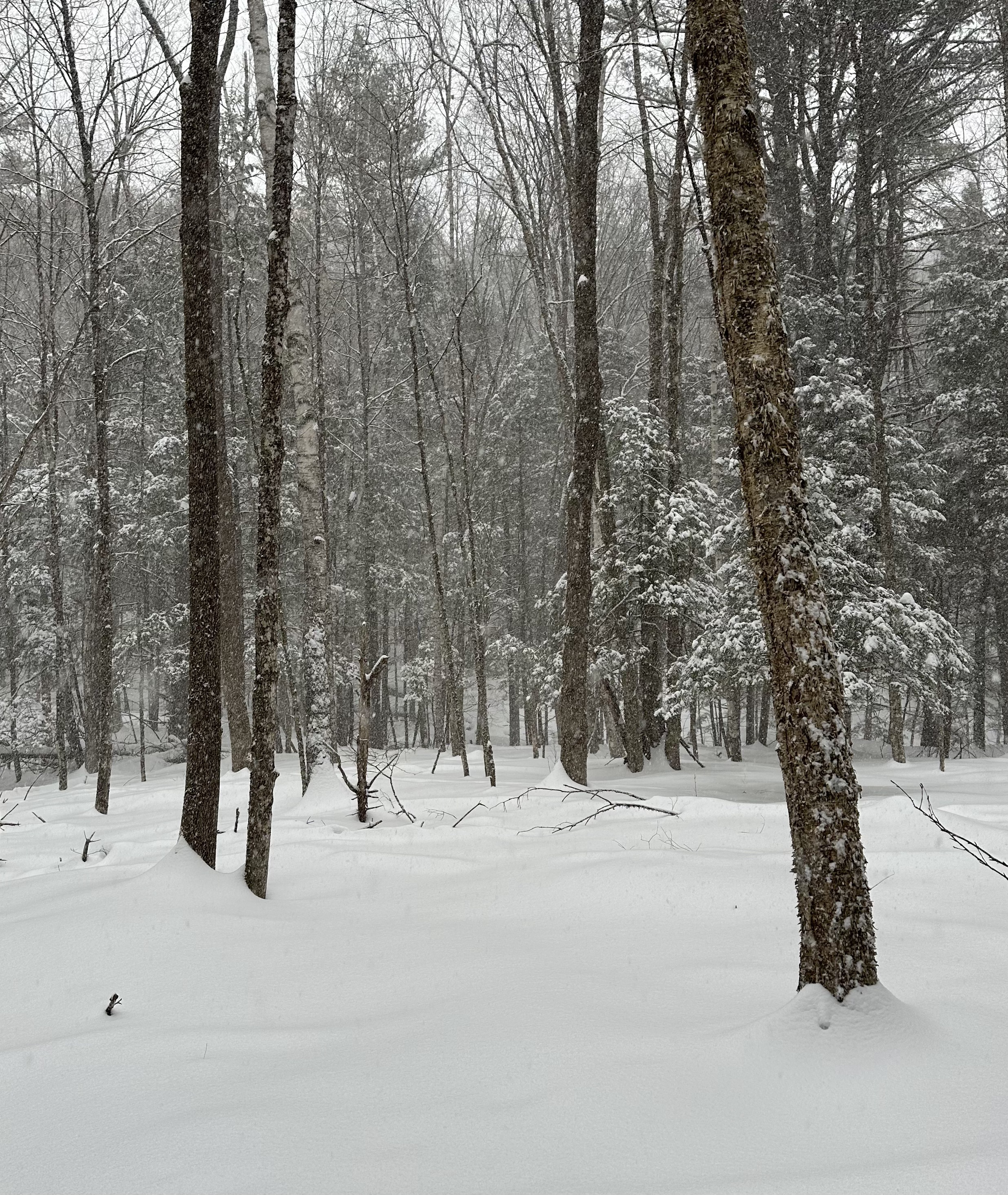
Mount Crawford in fall foliage

Absolutely spectacular!

It was still dark as I drove north through the dense valley fog, confident I would encounter a brilliant sunny day once I turned east and climbed away from the Connecticut River Valley. My destination was Mount Crawford, a popular peak in the heart of the White Mountains. At 3,128′ it is not one of the 48 ‘high peaks’, the four-thousand-footers that inspire so many people to “bag them all” and earn the AMC’s Four-Thousand-Footer patch. (And for some, like me, to do them all more than once; I finished my second round in August.) But, frankly, Mount Crawford is far better than many of its higher cousins: it has a splendid view – earning it a spot on the list of 52 with a view. Today, in full fall foliage, the view was absolutely stupendous. Read on!

View of Mount Washington and the southern Presidential Range,
along the Davis Path to Mount Crawford.
Continue reading “Mount Crawford in fall foliage”

Lyme wildlife – a walk in the forest

A weekly ritual.

I currently have six wildlife cameras in a hillside forest near home. Every week or two I take a walk, from one side of the hill, over the top, and down the other side, stopping to check each camera along the way. I enjoy the opportunity to be alone in the forest, off trail. I pick my own path, following my own sense of direction, recognizing familiar landmarks like a particular fallen tree, a fern-filled glade, or a notable boulder. I scan the forest floor for fresh tracks, listen for birdsong or the crackle of branches, and just immerse myself in the experience. I find it intellectually interesting and spiritually restorative – and a good workout, climbing up and down the steep hillside. Read on for the video!

Continue reading “Lyme wildlife – a walk in the forest”

Carrigain: 48 over 48

Completing my second round of the NH48 – all done over the age of 48.

I saved Mount Carrigain for last.

In 2014, shortly after skiing and snowshoeing to the summit of Owl’s Head – one of the peaks in the NH48 (a list of 48 peaks in the White Mountains of New Hampshire whose elevation exceeds 4,000 feet) – I realized that it might be worth hiking all the mountains on that list again. I could aim to complete what I call the “48 over 48”, that is, to hike all 48 peaks on the NH48 list, over the age of 48. After all, I had just completed the most notoriously inconvenient and unrewarding peaks on the list! So why not do all the rest? Read on!

First views from the Signal Ridge Trail on Mount Carrigan – with Carrigain Notch below, and the Presidential Range in the distance left of center.
Continue reading “Carrigain: 48 over 48”

Mount Isolation

A rugged hike to an isolated member of the NH four-thousand-foot mountains, on a smoky, foggy day.

It seemed odd to climb to an elevation of over 5,200′ in search of a mountain whose elevation is only 4,003′ (1220m), just barely earning it membership in the White Mountains’ fabled set of “four thousand footers.” But Mount Isolation, our diminutive goal for the day, is, well, isolated. There are no direct routes to its summit, a slight prominence along the lengthy Montalban Ridge sloping southeast from the shoulder of Mount Washington. But as we climbed above treeline into the extended alpine landscape surrounding Mount Washington, we were glad to have chosen this route. Read on, and check out the gallery!

David hiikes down the Davis Path toward Mount Isolation. Photo by Jon Kull.
Continue reading “Mount Isolation”

Black Mountain

Sharing a favorite hike with a friend.

After the passage of Tropical Storm Debby (which fortunately only brought us a few hours of heavy rain), the weather turned sunny and dry. Perfect for a hike! I selected Black Mountain, one of my favorite go-to hikes, to share with a friend who is still discovering the many hiking opportunities of the Upper Valley and New Hampshire. Although the sky was partly cloudy, Black Mountain’s relatively low elevation allowed us outstanding views across the Upper Valley (to the west) and into the White Mountains (to the east). And I re-discovered the “tipping rock” I’d seen on my first visit here in October 2010 (10/10/10). Check out the gallery!

The ‘teetering rock’, on Black Mountain, with Mount Moosilauke in the background.

Hike stats:
Distance: 3.75mi (6.0 km), including a side trip to the historic Lime Kiln.
Time: 2h56 (including a long rest on the summit)
Elevation gain: 1,599′ (487m)

Trailhead at lower left, summit at right. Out and back;
on the way out, we made a side-trip to the Lime Kiln on the dirt road

Grindelwald – redux

An amazing week in Grindelwald!

What a week! My friends and I rented a house in Grindelwald (Switzerland) and spent the week hiking in the heart of the Swiss Alps. We were incredibly lucky with the weather, with six sunny hikes:

We spent very little time in town – an aprés-hike visit to a pastry shop, a brief tour of the gift shops – but we did enjoy an excellent fondue meal at Hirschen, and the many sights, sounds, and tastes of the Wednesday-evening street festival. More photos in the gallery!

Street party in Grindelwald, with the Alps looming in the background.

Postscript: unfortunately, about 15 days after we left Grindelwald, a massive storm blew through the region and caused terrible flooding. The village of Brienz was devastated, and both Grindelwald and Lauterbrunnen were cut off for several days. I feel horrible for the people and businesses affected.

Grindelwald – Schwarzwaldalp

A gentle hike from Gross Scheidegg down to Schwarzwaldalp.

On our final day in Grindelwald, we chose a milder hike. It began with a bus ride up the steep and winding road to a mountain pass, Gross Scheidegg – the taller (eastern) counterpart to Kleine Scheidegg on the western side of Grindelwald. Here we stumbled into a local community festival, which appeared to be an amateur wrestling contest! We stopped to watch for a while, then ambled up the road and along the trail to take us down the other side of the pass. Our goal was the tiny village of Schwarzwaldalp, which we understood to be the site of a historic, water-powered sawmill. Read on!

A community wrestling competition at Gross Scheidegg.
Continue reading “Grindelwald – Schwarzwaldalp”

Grindelwald – Männlichen

An afternoon jaunt to a promontory overlooking Grindelwald.

Our fourth day in Grindelwald allowed for a second hike. (In the morning, most of us took the train up to Jungfraujoch, where three of us walked through the sunshine across the snowfields to a hut for tea and cakes.) On return to Kleine Scheidegg, we met up with others in our group for lunch at a cheerful little berghaus nearby. We then struck out along the ridgeline, with the Eiger’s north face dominating the landscape behind us. Read on!

The Eiger’s north face looms over the pleasant meadows and shops around Kleine Scheidegg.
Continue reading “Grindelwald – Männlichen”

Grindelwald – Jungfraujoch

A morning visit to the highest train station in Europe – and a stroll across the snowfields at 12,000′.

On our fourth day in Grindelwald we took two hikes. We spent the morning visiting Jungfraujoch, which (despite its intensely touristy nature) is an incredible place to visit. It is the highest train station in Europe, serving a structure that perches on a pinnacle at 3571m (11,716′) above sea level, adjacent to the snowfields surrounding the 4000m Alpine mountains of Eiger, Mönch, and Jungfrau. In this post I share a few impressions – and a gallery of photos of our walk across the snowfield to the hut at Mönchsjochütte, on an astonishingly gorgeous day.

People stream out across the snowfield from Jungfraujoch (on the rocky pinnacle).
Continue reading “Grindelwald – Jungfraujoch”

Grindelwald – Faulhorn

Hiking a classic alpine route, on a gorgeous day.

On the third day of our week in Grindelwald we decided to hike one of the most classic routes in the area, from Schynige Platte to First – although in the opposite direction. My hike there in 2019 was one of the most moving hikes I’ve ever experienced, as the Alps emerged out of an undercast sky like so many islands in an endless sea. Today, I was thrilled to share it with friends!

Today, we hiked from First (reached by gondola from downtown Grindelwald) to Schynige Platte (reached by a historic cog railway that climbs into the mountains from a valley close to Interlochen). The weather was perfect, so we were treated to a day full of stunning vistas as we hiked the high country above Grindelwald, over the pointy peak of Faulhorn (with lunch at its summit hotel!), along the rocky ridgeline, through alpine meadows brimming with wildflowers, across a couple of stubborn snowfields, and past another hut at Männdlenen (with a stop for apfel strudel, of course!). Read on, and check out the gallery.

The Faulhorn traverse offers amazing views of the Alps from meadows filled with wildflowers.
Continue reading “Grindelwald – Faulhorn”