
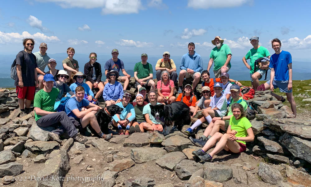
I spent the weekend at Moosilauke Ravine Lodge, for a DOC event. As part of the program, several groups hiked various routes up the mountain, converging on the summit. It was a glorious warm day!
A subset of us descended via the Beaver Brook and Ridge Trail, passing the summit of Mount Blue, then turned right on the old (abandoned) Ridge Trail. At the point where it meets Deer Lake (now a bog), we dove into the woods and headed steeply downhill toward Jobildunc Ravine. Our goal was to reach the top of the Headwall, hoping for fine views and maybe some historic artifacts from when this was a tourist destination.
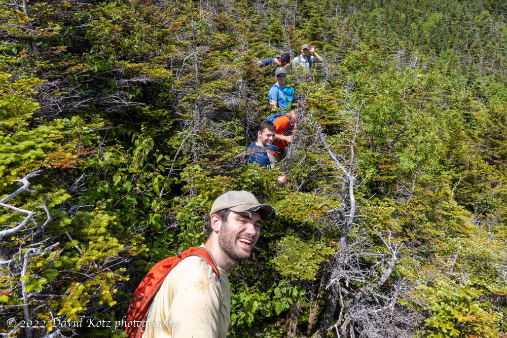
Instead, we found ourselves wading through krumholtz and over moss-covered jumbles of ragged boulders, with deep hidden crevasses lurking below our feet. We never reached the headwall, but did find a rocky outcrop for a view.
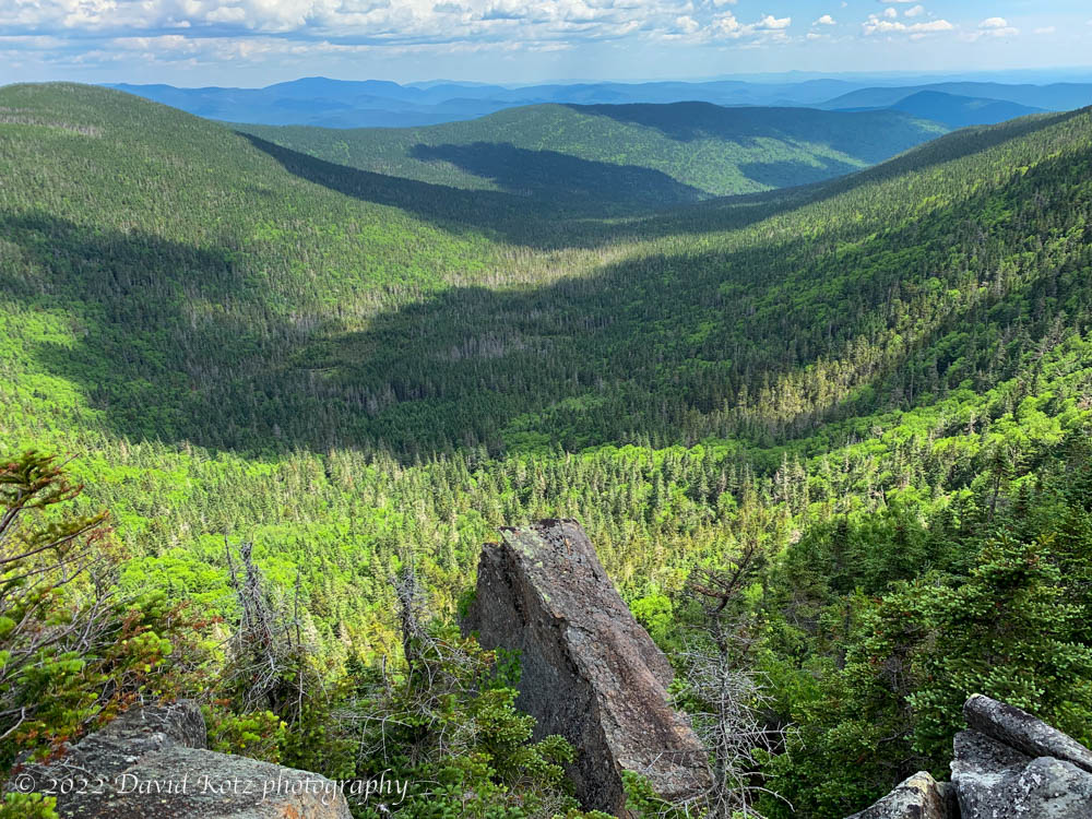
Our route is shown below, overlaid on a satellite image. The bald summit area is at lower left, and we hiked clockwise around the loop to the right… descending almost 800′ and then bushwhacking down toward the headwall, then back up to the summit. The Jobildunc Ravine’s rocky headwalls are visible. The numeric bubbles show location of some photographs.


One thought on “Moosilauke bushwhack”