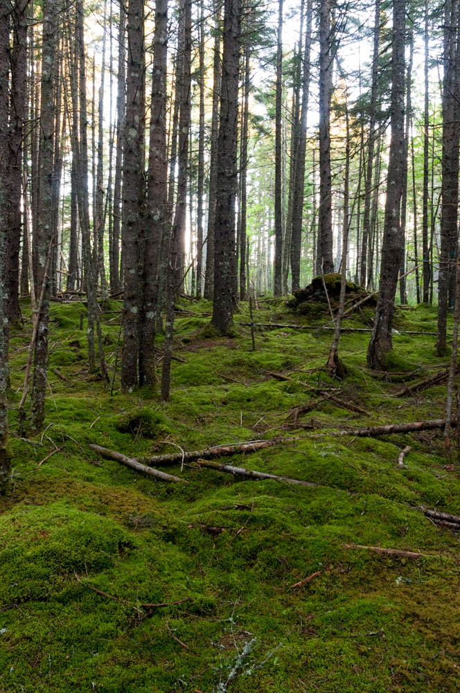
Morning along the trails at Bretton Woods, near the Mount Washington Hotel.
It’s been a wet spring, but last week was nonetheless sunny and beautiful – the woods were verdant and full of wildflowers. I had a wonderful hike with a dear friend along the Appalachian Trail close to home, and then four beautiful days to trek around the Mount Washington Hotel & Resort, including the opportunity to take 32 colleagues from the MobiSys conference up some of my favorite short hikes in the Whites: North and Middle Sugarloaf Mountains.
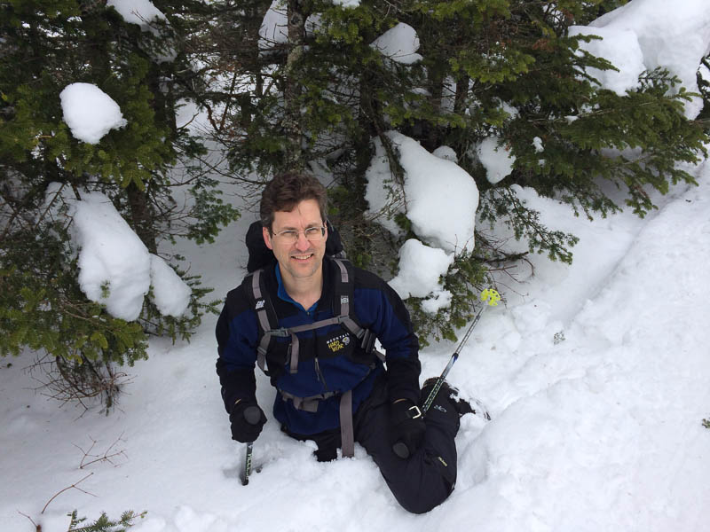
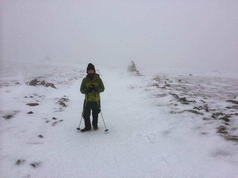
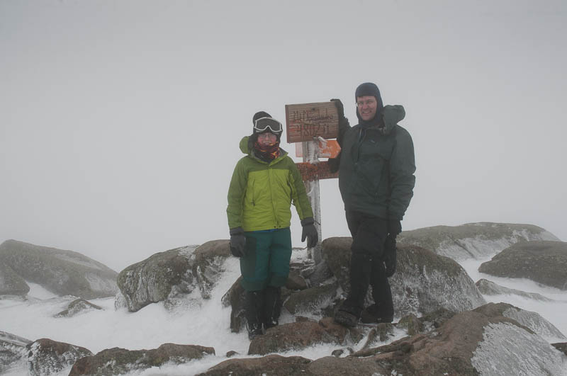
Only two days left in March, but Moosilauke still has 2-3 feet of snow at the base, and 4-5 feet along the ridgeline. Andy (12) and I hiked to the summit via the Glencliff trail today. With sunny weather in the forties at the trailhead, the snowpack was soft and wet, eager to swallow any foot that strayed from the trail packed by hundreds of hikers before us. The warm March sunshine allowed for a comfortable hike, no hat no gloves. High on the slopes of south peak we finally caught some views to the west; indeed, I had a great view down into the Tunnel Brook valley and even spotted a person standing on Mud Pond where I’d skied just six days ago.
As we reached the Carriage Road trail junction and the ridgeline, we climbed into the clouds. The temperatures were still above freezing, though only barely, and as we crossed the ridge and climbed above treeline the wind picked up and the ambient temperature dropped. We could barely see from one cairn to the next, but Andy was so enthralled by the rime ice that we took our time. We met six backcountry skiers at the summit, and explored the cloudy terrain for a while before heading for home.
The soft wet snow, four feet deep along the upper reaches of the trail, provided great opportunities for butt-sledding and made for a quick descent. Four hours up, less than two hours down. Great day!
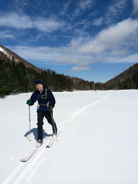
David skis across the ponds along the Tunnel Brook trail.
One of the classic ski tours on Mount Moosilauke is the Tunnel Brook trail, which climbs over a low north-south valley along the west flanks of Mount Moosilauke. It follows Tunnel Brook upslope for several miles, continuing straight as the brook heads left up into the steep-walled Tunnel Brook Ravine. (Last summer I completed that classic bushwhack route to the summit, discovering an incredible slide created by Tropical Storm Irene in 2011; see trip report.) Today I had the good fortune to ski this route under a sunny sky and with fantastic ski conditions. Continue reading “Tunnel Brook”
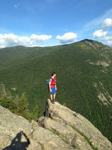
Roundtrip distance: 18 miles. Elevation gain: 2900 feet. View: none. Why does anyone hike to the summit of Owl’s Head, deep inside the Pemigewasset Wilderness of the White Mountain National Forest? Perhaps, as Sir Edmund Hillary once said, “Because it is there.” More likely, however, because it has resisted millenia of weathering to keep a little piece of itself above 4000′. Shave off 26′ and nobody would visit this peak. As it is, everyone hoping to “bag” the list of 4000-footers must climb this knob that is encircled by far grander peaks in the Franconia, Twin, and Bond ranges.
Near the summit of Owl’s Head
Seventeen years ago I set out to climb Owl’s Head in the summer. Daunted by an 18-mile hike, I made it an overnight, which turned out to be a wonderful adventure (with a mysterious ending, but that’s another story). As I walked the long 8-mile approach trail, which is largely flat by White Mountain standards, I imagined that it would be far better to do this mountain in the winter when one could ski.
So when my friend Lelia suggested that we attempt Owl’s Head this winter, I recalled those thoughts, considered the recent deep cold that would have frozen up nicely all those the brook-crossings, and the deep snow we’ve had in recent weeks (check out my photos from a ski tour on Moosilauke last week, where we found 4 to 6 feet of base). Sure, let’s do Owl’s Head. Continue reading “Owl’s Head Mountain”
To welcome in the new year, as we have done so often before, I headed off with a group of friends to a cabin on the side of Mount Moosilauke in the core of New Hampshire’s White Mountains. Great Bear Cabin is a cozy log structure nestled along the Appalachian Trail as it heads northward up the slopes of Moosilauke, and has become somewhat of a traditional winter outing for me and my kids. Although my kids were unable to attend this time, our party included three children and eight adults – friends for over thirty years – including one of the original builders of the cabin. With the woodstove roaring, and the woods frosted from a recent snowfall that glazed the trees and blanketed the nearby meadow with 10″ of fresh powder, we were cozy indeed.
Last year was a busy and exciting year for us. Mara graduated from Crossroads and began 9th grade at Hanover High School (HHS), while Andy entered 7th grade at Crossroads and John entered 11th grade at HHS. David continued as Associate Dean at Dartmouth and Pam took a year off from medicine. We traveled quite a bit: we began the year in Bangalore, India, spent a February week along the continental divide in Costa Rica (photo above), and spent lots of time outdoors in both New Hampshire and South Carolina. I hope you enjoy the year-end slideshow of highlights, including some of my favorite photos from 2013.
Regards and best wishes for the new year,
David Kotz
I awoke early Sunday morning to an uneven dripping sound on the roof, with the steady burble of Eliza Brook reminding me that we were spending this cool October night in a beautiful new AMC shelter high on the shoulder of the Kinsman Range. The peaks of North and South Kinsman, and Cannon Mountain, form the western wall of Franconia Notch, whose valley would later today be filled bumper-to-bumper with leaf-peeping visitors this Columbus Day weekend. It turns out they would see nothing, while we would spend the day facing spectacular views over their heads. Continue reading “Franconia undercast”
That Disney classic song, Just around the river bend, seemed to be stuck in my head as we paddled for four days on the meandering Connecticut River (check out the photos and videos). Continuing what I hope to be a new tradition, begun last year at the spot where the river springs out of the ridgeline forming the New Hampshire–Canada border, Pam and the kids and I put our boats into the river at the very spot we ended our trip last year, and pushed off into the current. Continue reading “Just around the river bend…”
Last summer had a wonderful opportunity to complete 6 hikes in 4 days. I was fortunate again this week to have the same opportunity, completing 6 hikes in 6 days (Sunday through Saturday with a day off on Monday). It was the same time of the summer – the waning days of July and the first of August. The kick-off hike was once again with my friend Lelia, tackling a long hike that I had long desired to try. Last year, it was Mount Ellen, allowing me to complete my 4000′ Vermont mountains. This year, it was Tunnel Brook Ravine, a legendary bushwhack on the backside of Mount Moosilauke. I wrote about that epic trip last week.
After a much-needed rest day on Monday, I headed for Crawford Notch in the White Mountains. As before, I was fortunate to be staying at the Mount Washington Hotel for a few days, which is an excellent base for beautiful hikes both short and long. I revisited two favorites from last year – Mount Willard and the two Sugarloafs – with another friend Jon. For the first time I climbed Mount Martha, which has an astoundingly beautiful view of the Presidential Range. After the meeting concluded on Friday I bopped up Crawford Cliff, dodging a thunderstorm, and on Saturday at home I revisited the local Lyme Pinnacle for a quick overview of the Upper Valley. I snapped a few photos along the way (SmugMug).
Good weather, beautiful mountains, and wonderful friends. A great week!