
In search of new places to go, I find myself thinking back to hikes I completed more than a quarter-century ago; enough time has passed that they may as well be “new” again, for me. I’ve had my eye on the Tripyramids for several years now, because they make an intriguing triplet, easily recognizable on any horizon. Most notably, when I climbed them last in 1985, we approached from the north, from the Kancamagus Highway; now, it was time to try the western route, up the sheer North Slide and down the scree-filled South Slide. Read on, and check out the photo gallery.
It promised to be another hot and hazy day, so there was little point in climbing for the views; instead, this would be a climb for the challenge, and for the fascination of scrambling up a steep granite rockslide.
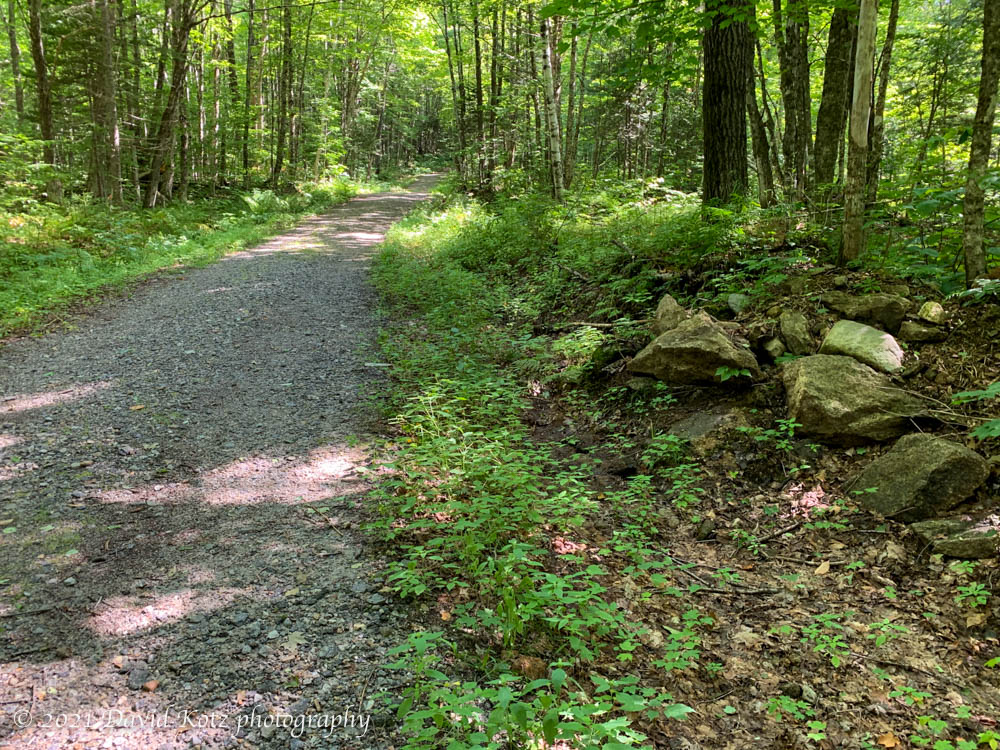
The route begins in Waterville Valley, not far from the ski area and the associated condo village. The approach is a 3.6-mile walk along a pleasant USFS access road, gated at the parking area; I covered that distance in an hour and reached the junction with the Mt. Tripyramid Trail.
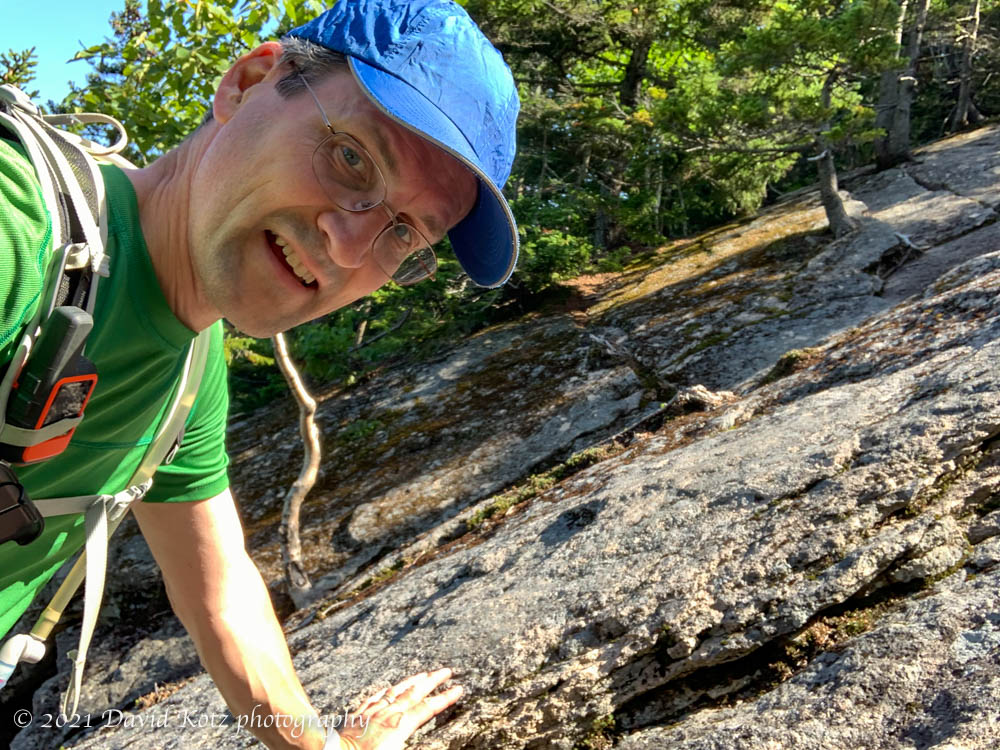
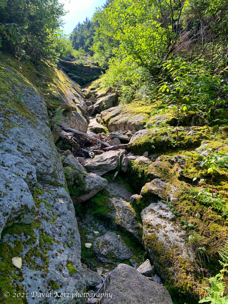
Here, the trail wandered through the woods for a short ways, until it reached the tail of the North Slide, now mostly overgrown. Here, things start to get interesting. Climbing steeply, this route is mostly on bare granite slabs, interspersed with pockets of scree and jagged loose rocks. I would definitely not want to be here when the rock is wet!
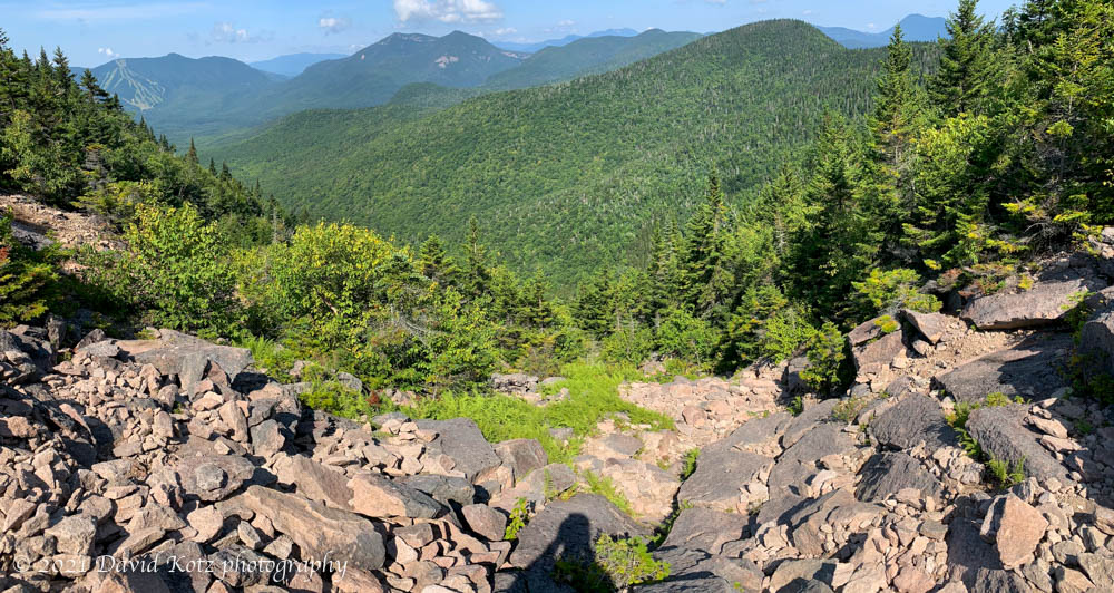
It required some care to choose each step, and sometimes hand-holds, especially as the forest faded and the slide became more open, more exposed. At one point I noticed a hiker high above me; a few minutes later I heard a pebble come bouncing down the slope and past me. (Glad it was not one of those larger, jagged boulders!) On the other hand, this open section provided commanding views to the west and north, from Waterville Valley Ski Area to the Oceolas, and the more distant Franconia and Presidential Ranges.
The AMC guidebook says the slide is extremely steep. Yeah, no kidding. My rule of thumb for steep, set back in the ’80s when I was hiking in the Adirondacks, is 1,000 feet of elevation gain per mile. As the guidebook points out, this slide climbs over 1,200 feet in 0.5 miles, which is 2.4 times as steep. That’s beyond steep, beyond extremely steep, to incredibly <expletive> steep. We’re talking Class 3 rock scrambling. Reflecting on these numbers, and the day’s heat and humidity, now I know why I was huffing and puffing, with frequent pauses; watch this video of my chest-mounted camera as I scramble slowly upward near the top of the slide. (It’s awkward, because I was often leaning into the steep hillside to use my hands.)
Finally, I reached the top of the slide, where the trail re-enters the woods for the final steep 0.1 mile to the summit; it required about an hour and a half to climb those 1.2 miles from the forest road to summit. The summit is barely a clearing in the trees, with no views. After a well-deserved rest and a snack, I rambled onward down to the col, then steeply back up to Middle Tripyramid, which allows a peek through the trees to the northeast, then down and up again to South Tripyramid, again with no views. Still, if you watch carefully, there are pretty things to see along the way:

Leaving the summit of South Tripyramid, now facing southwest, one stands at the top of the daunting South Slide. This slide is best for descent, because much of it is scree (small rocks, pebbles, and sand), allowing for a bit of sliding. Still, it requires careful footing.

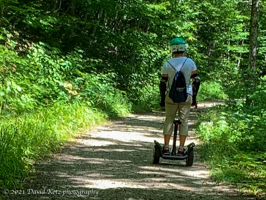
At the base of the slide is then a 1.8 mile ramble along the Slide Brook valley, longer than it seems, back to Livermore Road a mile below where we left it a few hours earlier. The 2.6-mile walk back out along the road is easy, though tedious on tired legs. Mountain bikers whizz by, enjoying the extensive network of trails managed by Waterville Valley. More oddly, I was passed by a father-daughter pair on electric-powered wheels – his a single fat tire, hers a two-wheeled platform with a control stick in the middle. Soon, along came mom, on her own platform. Wow, is this the future of hiking?

electric unicycle and electric two-wheeled platform, without seats. 
two-wheeler, controlled at the knees.

Don’t miss the photo gallery!
Hike stats:
Distance: 16.9 km (10.52 miles), more than half (10km) on the forest road.
Time: 5h6m
Gain: 847 m (2,778 feet)


One thought on “Tripyramids”