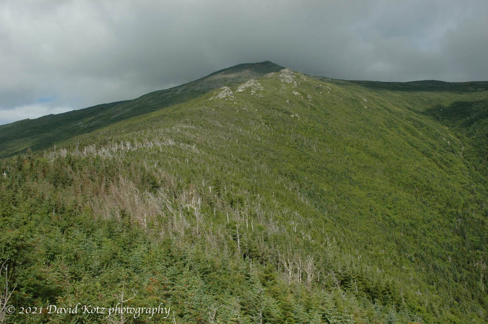
Somehow we never got around to our annual late-August family backpacking trip. I was determined to get out, anyway, so we took two short trips. On September 30, Andy and John and I headed directly from school to a trailhead on the west side of Moose Mountain. We hiked up to reach the A.T. where it crosses a col between north and south peak, then pulled into the shelter just as it got dark and began to rain. We poked around in the dark looking for the water supply, and settled in just as a huge thunderstorm struck. Nothing like being in an open shelter, on a ridgeline, in a thunderstorm! We had to leave the next morning, skipping our second night out, because John was feeling ill.

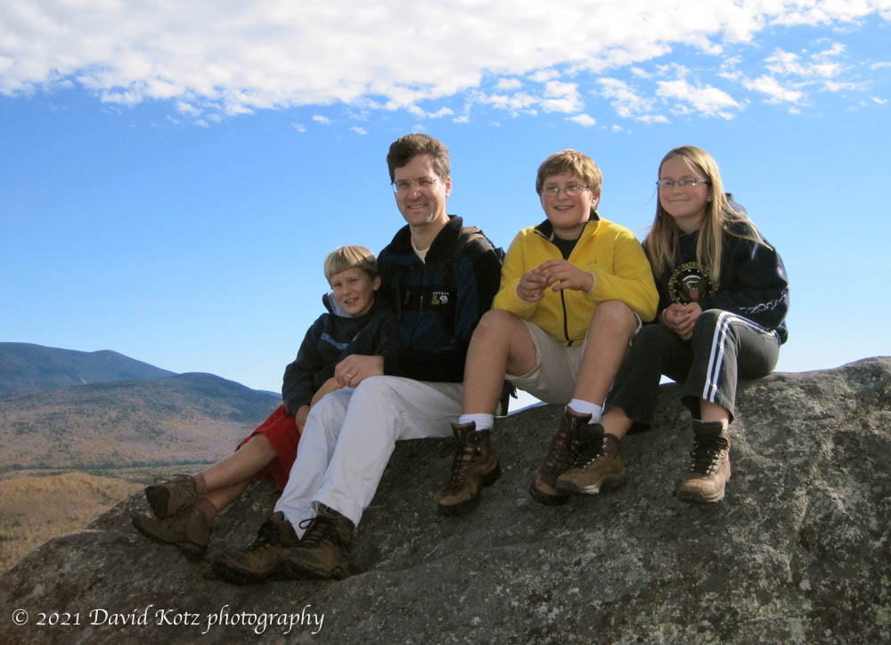
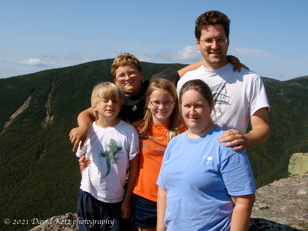
Two weeks later, Andy and Mara and I headed for Holts Ledge, hiking up to Trapper John shelter late on Saturday afternoon, with just enough daylight to explore a bit and then settle in. It rained overnight, but the next morning we were able to climb up to Holts Ledge for a view of the fall colors.

I had only my iPhone, and limited light, but took some photos.
This post was transferred from MobileMe to WordPress in 2021, with an effort to retain the content as close to the original as possible; I recognize that some comments may now seem dated or some links may now be broken.