Although the mountains still hold fantastic winter conditions, as I found last Thursday on Worcester Mountain, the immediate Hanover-Lyme area has little snow left. Our yard was still covered in an inch or two of old hard snow, but the neighboring woods were becoming largely bare. All that changed today, as a powerful nor’easter swept up the coast. We accumulated 8.5 inches of fresh white stuff, far less than what some saw down east – the coastal regions received a foot or two – but eight or nine inches is quite nice indeed. It was a bit warm here – topping the freezing point for the afternoon – so the snow is a bit wet. At higher elevation I hope to find deeper, lighter powder. Read on and check out the gallery of photos.
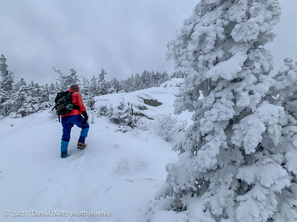
Since the impressive snowfall we received in mid-December, I’ve been dreaming about another opportunity to snowshoe in deep powder through a forest of snow-covered trees. Today my dreams came true, in an absolutely incredible hike on a mountain I’ve never visited before. Read on… and be sure to check out the photo gallery!
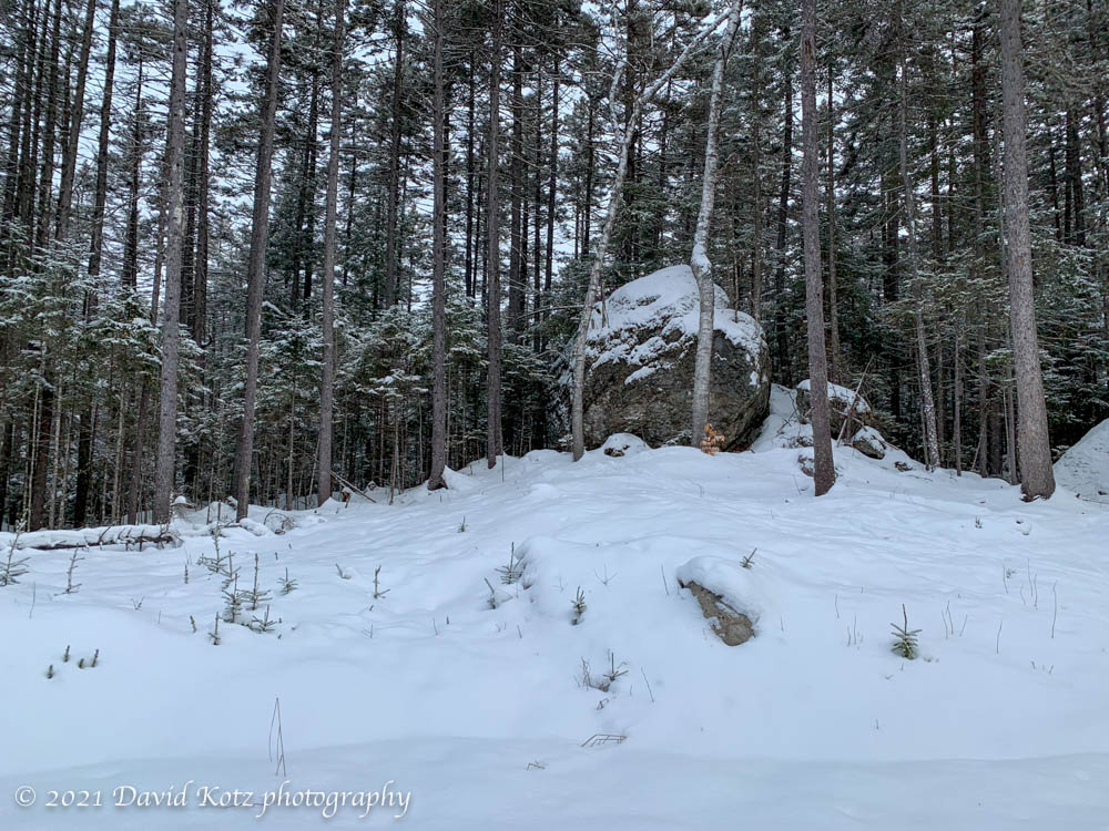
One of the cool things about skiing through the remote areas of northeastern Lyme, as I was early this morning after last night dusted the area with an inch or two of fresh powder, is the striking appearance of huge boulders in the middle of an otherwise uneventful patch of lowland forest. These boulders are likely glacial erratics, brought here long ago astride one of the slow-moving glaciers that flowed over this terrain during the last ice age.
A glacial erratic sits beside the ski trails in northeast Lyme.
Or maybe not; some of my readers have a geology background. Correct me if I’m wrong!
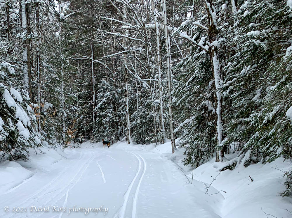
A bit further long the trail this morning was a more contemporary form of wildlife: a domestic dog, complete with matching winter coat, quietly and alertly watching me approach while he waited for his pet human to catch up from around the bend.
I try to reserve a bit of daylight, each day, to get out for a walk. When I’m especially busy, or lazy, I walk up the road and back, keeping an eye peeled for that bald eagle I saw over the river last week. But when I have a bit more time and energy, I don my pack and strike out up the steep hill on the other side of the road. These hills were formed several centuries ago when the Connecticut River was formed by the receding waters of the Pleistocene-era Lake Hitchcock, after the glaciers receded from what is now northern New England. The hillside is steep, but it’s a good chance to get my legs moving, to fill my lungs with fresh air, to follow my whims, and to see what I might find. What did I find out there today? read on.
One of the grand things about living here in Lyme is the opportunity to ski on some spectacular terrain, thanks to a local family that opens their land to skiers and snowshoers – and grooms dozens of kilometers of trails. A light powdery snowfall in each of the last few days has added a fresh surface to these trails, making for a delightful skiing opportunity this morning.
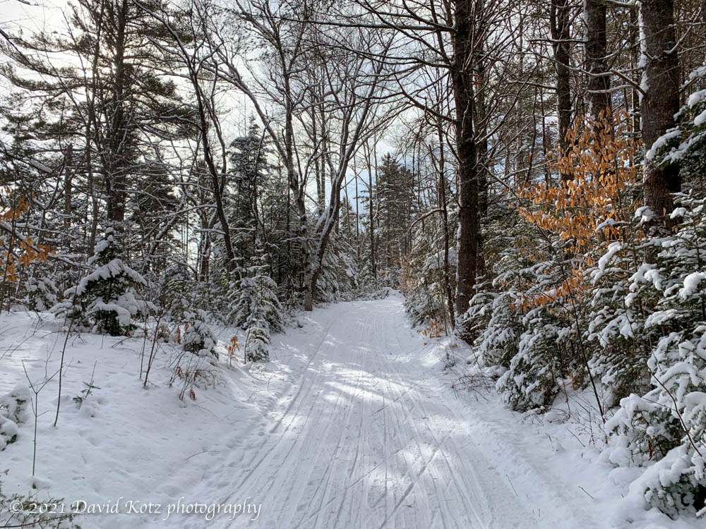
ski trail in northeast Lyme.
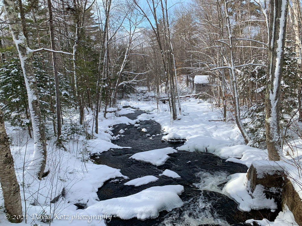
The weather was chilly, however, with temperatures in the single digits and a light breeze blowing across the three ponds of this area. I stuck to a relatively short loop, due to frozen fingers. The overflowing parking lot was an indication, however, that many other local residents were out enjoying this beautiful day.
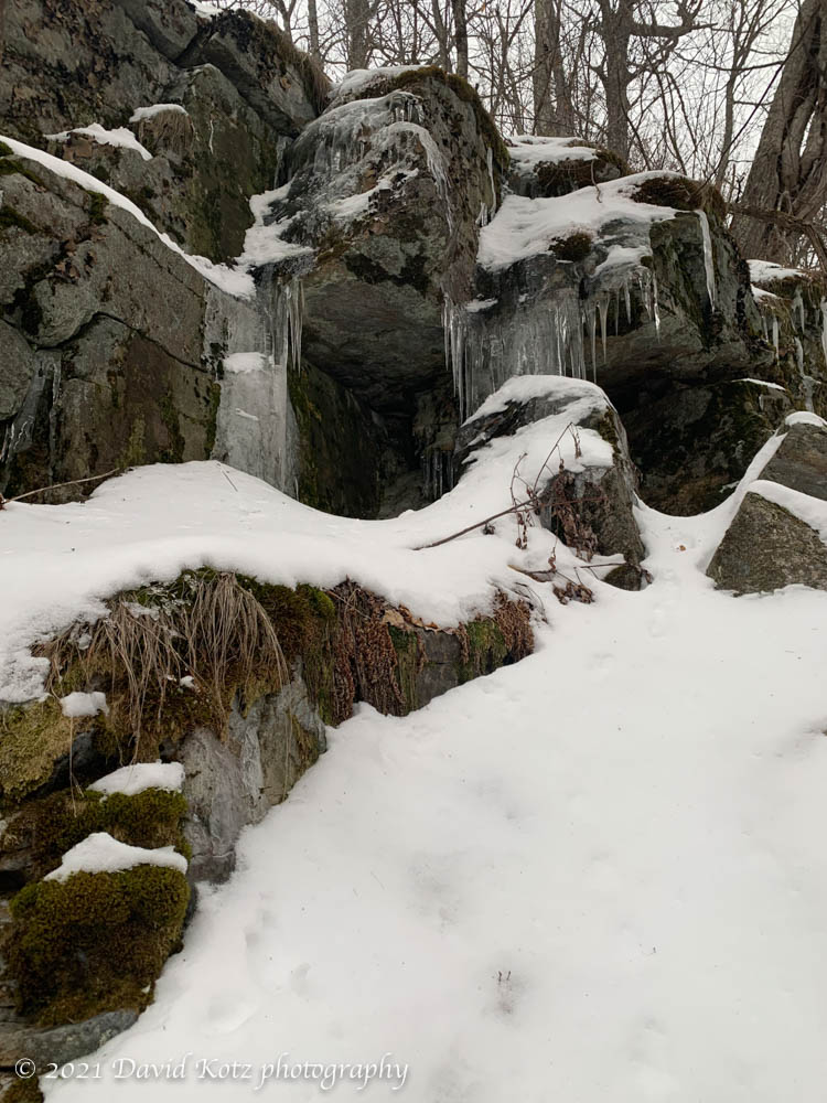
Brook crossing near Cummins Pond in northeast Lyme.
I’m grateful to live in Lyme where this, and another patch of forestland is groomed for public skiing, by volunteers and generous landowners. And, where the Dartmouth Skiway grants free lift access to Lyme schoolchildren. Thank you Lyme!
Black Mountain is one of my favorite places to hike – it has a great view, it’s not a long hike, it’s not a long drive, and it is small enough to stay below the clouds on most cloudy days. Indeed, I was just here last month. Today, however, there was a crunchy base of snow about 2-4″ thick, and a fresh dusting of powder about 1/2″–2″ on top. Read on!
For a few months I’ve been thinking of returning to Lambert Ridge, a ledgy section of the Appalachian Trail up Smarts Mountain, not far from here. The first section is steep, leading up to a series of granite ledges with broad views that belie the relatively low elevation at this point on the trail. The climb to these ledges is a worthwhile dayhike, and brings back memories. Read on!
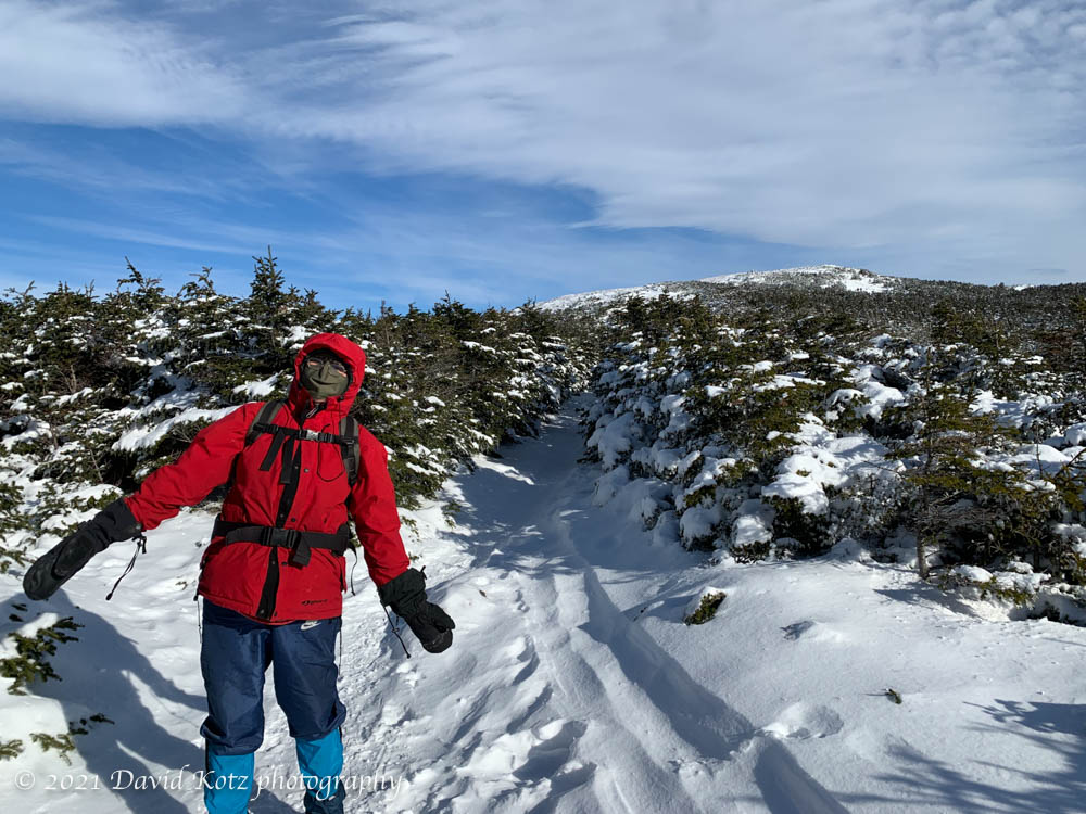
After yesterday’s good news from Georgia and horrific news from Washington, I was grateful to spend a few hours in one place on earth that gives me great peace: Mount Moosilauke. As I drove east out of the Connecticut River valley and over the shoulder of Mount Cube, I could see that Moosilauke’s summits were clouded in – disappointing – but I also enjoyed a deep-red sunrise among the clouds near the eastern horizon. A bright spot in a gray day. Read on, and check out the photo gallery for videos and more pix!
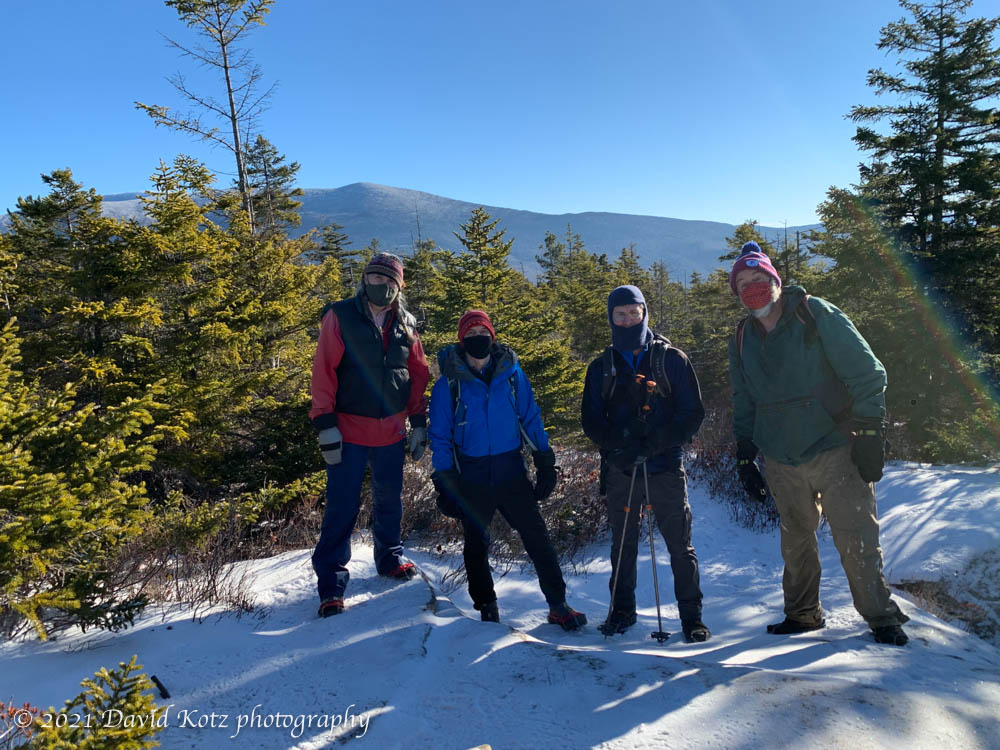
Tim, David, and Kathy, on a hike to Blueberry Mountain.
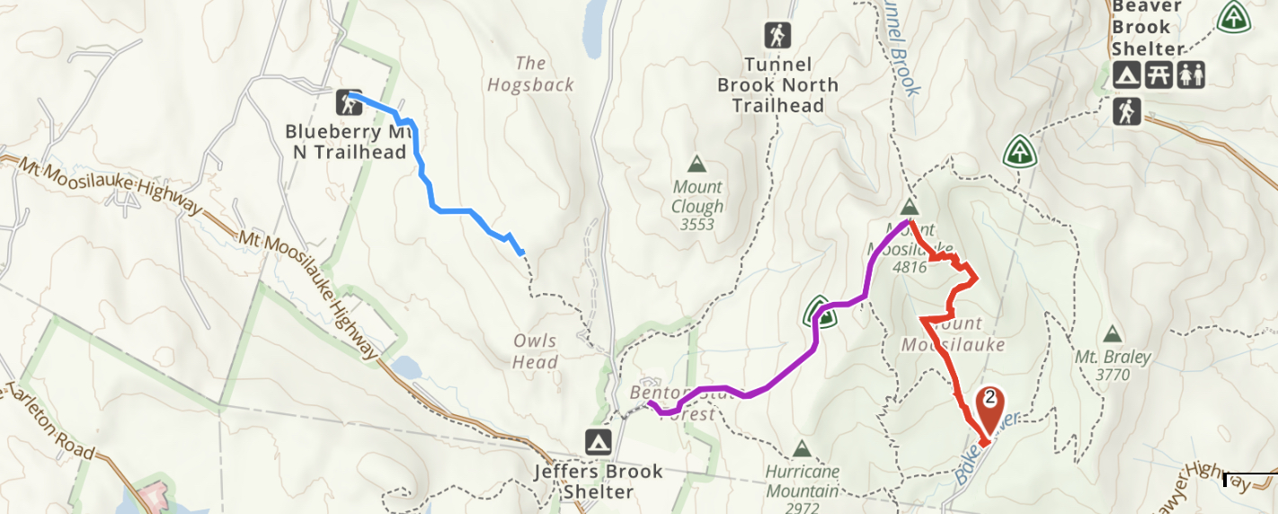
It has long been a tradition for my Dartmouth friends and me to hike a mountain on New Year’s Day. Today we were fortunate to have outstanding weather: a blue-sky day with moderate temperatures (20-30º), and a fresh (though thin) layer of powder snow at higher elevations. We had eyes for Moosilauke – our traditional destination for New Years – but with weather this nice, we anticipated huge crowds. Instead we headed for Blueberry Mountain, a pretty little (2,663′) bump to the southwest of Mount Moosilauke.
I’d been up here once before, but from the east, and today we came up from the west. The west is a longer approach, but a pretty trail nonetheless. We were the first to travel this trail since the snowfall a few days ago. To be more precise, we were the first humans on the trail since the snowfall – we were following a coyote’s tracks for most of the way up! Indeed, the coyote often provided clues about the route when the trailbed was not so clear.
The view from the summit is partly obscured by trees, but Moosilauke was visible and delightfully clear from this close. It must have been a grand day up there! In the photo below, the south peak is most visible.
On the summit of Blueberry Mountain: Kathy, Tim, David, David.
The sign at the trailhead advertised 2.2 miles, but my GPS track shows we walked 8.52km round-trip (5.3 miles, or 2.65 mi each way). Two smartwatches also indicated a distance closer to 2.7 miles for the ascent.
A fresh dusting of snow decorate the trail near the summit of Blueberry Mountain on New Years’ Day.
There’s something magical about gathering with old friends, even after a long absence. It reminds me of the experience of slipping on a well-traveled pair of hiking boots: they fit just right and enable you to walk for miles in comfort. So it was for us today, a group of friends who have been hiking together for more than three decades. We met at the base of the Rivendell Trail on Mt. Cube – a trail that is one of my local favorites, because it gives one a dose of the “White Mountains” without a long drive or a major hike. Standing apart, and forgoing the usual hugs, we donned a layer of warm clothes as the wind whipped through the trees overhead. Read on!