
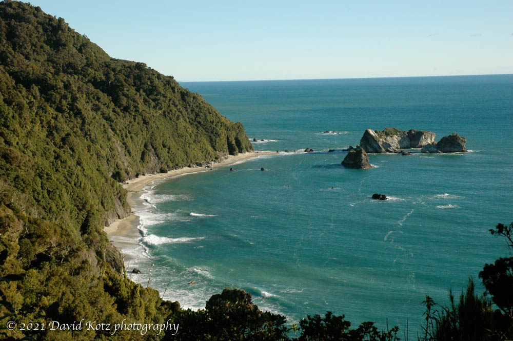
We drove, in parts of three days, up the west coast of the south island. Or those parts that are drivable, anyway, because the southwest corner (Fiordland) is roadless, and the northwest corner (Abel Tasman park) is remote with few roads. The southern alps loom close at hand on your right, and the hills drop steeply into the sea on your left. At times the road was winding and twisting along these hillsides. Rarely, we encountered a beach made of smooth rounded stones. All in all, it was beautiful. Check out those photos and read on for more photos!
The west coast of the south island is rugged and beautiful. It receives over 7m of rain per year, and often has high winds, but we were lucky to pass through on a sunny stretch. From Knight’s Point, above, it is 1700km west to Tasmania, and after that you hit no land again until South America!
Perhaps the most beautiful location was Reflection island in Lake Matheson, near the town of Fox Glacier. Wow! I stood there for 45 minutes photographing the sunset light on Mts. Tasman and Cook, reflected in the still waters of the lake. These are arguably my favorite photos of the trip.

We stopped in Hakitika to visit some of the greenstone galleries. Greenstone is a type of jade, native to this region, that the Maori have used for centuries for both artistic and functional purposes. We saw stunning pieces, far too expensive for us, and bought a few small pieces to bring home. [photos]

Finally, we had to stop in Westport, NZ, at least for lunch, because of our affinity to Westport, NY (location of Camp Dudley).
Some of the locations: [Greymouth] [Punakaiki] [Westport]
This post was transferred from MobileMe to WordPress in 2021, with an effort to retain the content as close to the original as possible; I recognize that some comments may now seem dated or some links may now be broken.
