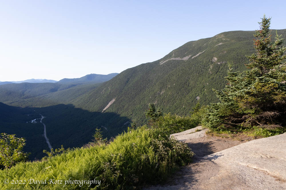
Today broke clear and cool. I wanted to get out for one more hike, before we had to head home. From the Mount Washington Hotel I have found many lovely, short hikes, doable before breakfast. I selected the most convenient, the short jaunt up Mount Willard. It’s one I’ve visited many times. It includes a nice waterfall and a grand view south along Crawford Notch.
View of the Presidential Range from near the summit of Mt. Pierce, White Mountains.
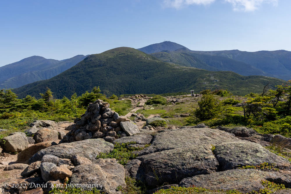
Back in New Hampshire, I spent the weekend at the Mount Washington Hotel in the White Mountains – with perfect weather and a grand view of the Presidential Range. Pam joined me for the two-night stay. On Saturday morning the day broke cool and clear so I headed a few miles down the road to Crawford Notch and headed up the Crawford Path. This path is the oldest continuously used mountain trail in the United States, dating to 1819. There were few people on the trail this early in the morning (7am), but that would soon change. Read on, and check out the photo gallery.
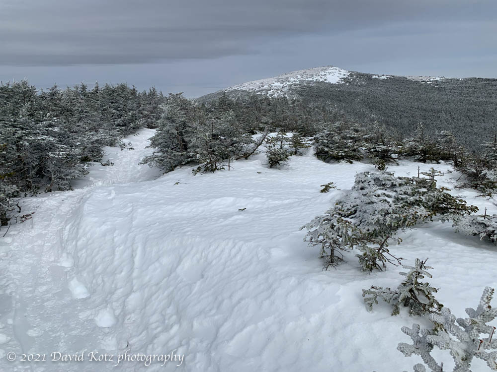
I’ve been eagerly awaiting an opportunity to hike Mount Moosilauke this winter. My schedule rarely gives me a window of opportunity… and this winter, those windows have often corresponded with heavy cloud cover or intense cold. So this weekend I was pleased to see that Sunday’s (today’s) summit weather appeared to be reasonable – midday temperatures around 10ºF, with winds 20-30mph – and even better, there was snow forecast for Saturday (yesterday). The icing on the cake was a hiking invitation from an old friend. Thus, we found ourselves at the Glencliff Trailhead at about 9:30am, suiting up in single-digit temperatures. Read on!
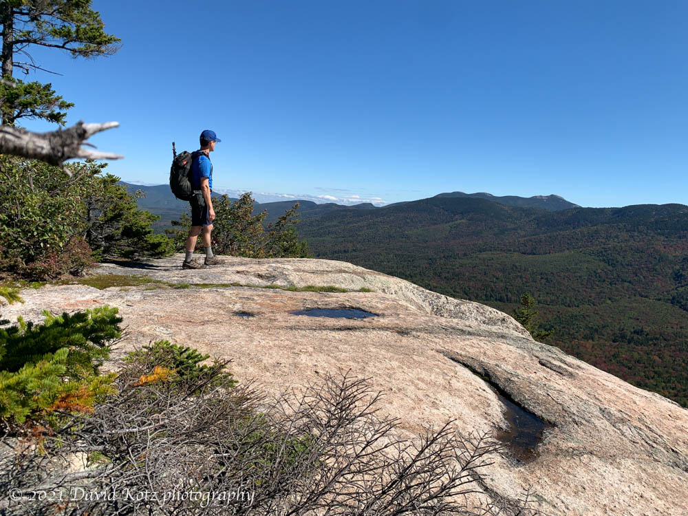
Today was a beautiful fall day, with blue skies and a hint of oranges and reds scattered through the hardwood forests on the slopes of the White Mountains. I had a slow start to my morning but wanted to visit a new place, so I selected Hedgehog Mountain from the list of “52 with a view”. I’m surprised I’d never heard of it before, though it is located in the center of the Whites and is a close neighbor of some of the better-known four-thousand footers.
A grueling hike up and down the slides of the Tripyramid range.
In search of new places to go, I find myself thinking back to hikes I completed more than a quarter-century ago; enough time has passed that they may as well be “new” again, for me. I’ve had my eye on the Tripyramids for several years now, because they make an intriguing triplet, easily recognizable on any horizon. Most notably, when I climbed them last in 1985, we approached from the north, from the Kancamagus Highway; now, it was time to try the western route, up the sheer North Slide and down the scree-filled South Slide. Read on, and check out the photo gallery.
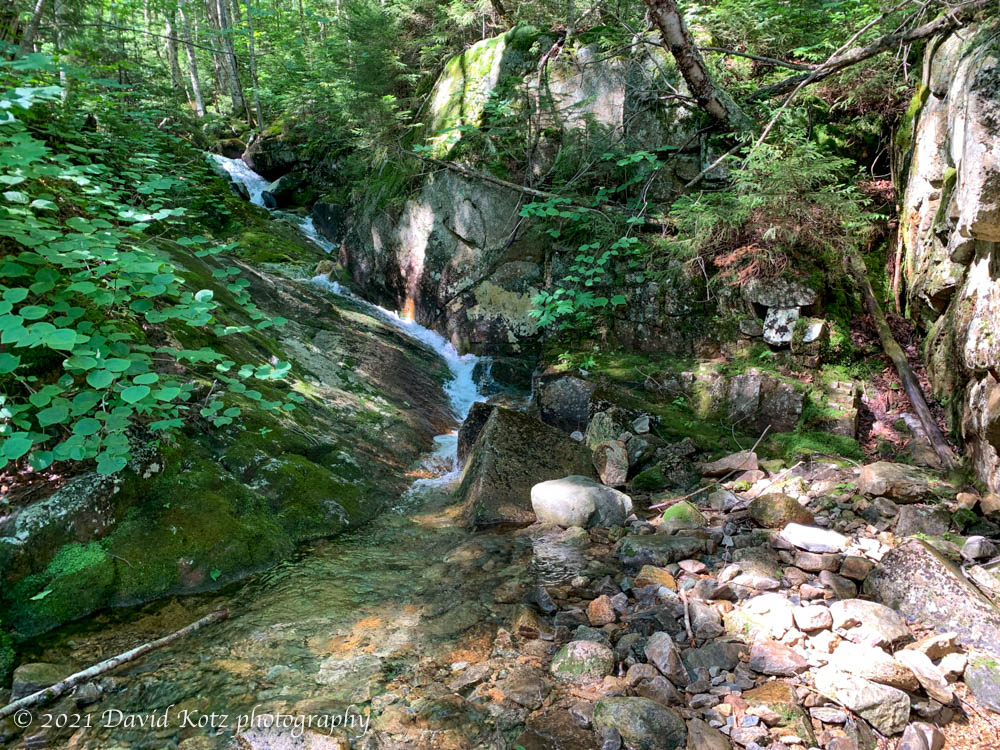
It was a beautiful day for a hike, so I was pleased to have a chance to join friends for a climb of Mount Hale – one of the 4000-foot peaks in the White Mountains of New Hampshire. Much of the trail follows Hale Brook, including several pretty cascades.
Although I’d already been up Moosilauke twice this winter, in late November and early January, I could not wait to get up there again before the season ends. I always enjoy visiting in late winter when the snowpack is incredibly deep, yet the valleys are starting to experience spring. So I’ve been watching the weather for the past two weeks and, finally, today offered me fantastic weather and an open calendar. I jumped at the chance. Read on, and check out the gallery.
One never hears of anyone climbing Mount Welch, or Dickey, or Dickey & Welch. It’s always Welch & Dickey. These twin mountains are a popular pair of small peaks in central New Hampshire, on the south edge of the White Mountains. Part of their popularity is the loop trail that goes over both peaks, making a far more interesting hike than the usual out-and-back route one might use to approach a single peak. Today, a brilliant late-winter day, Andy and I followed the classic route and enjoyed perfect trail conditions, blue skies, and crystal-clear views. Read on and check out the photo gallery!
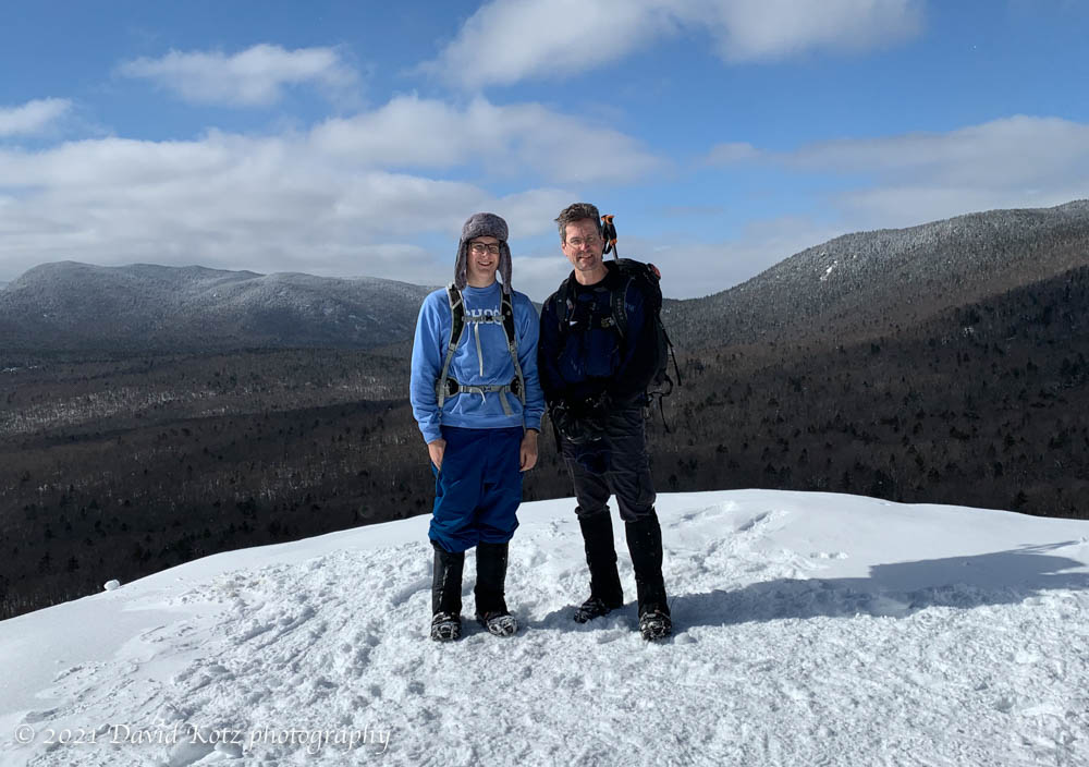
Andy and I climbed little Mt. Pemigewasset this morning, striding up a well-beaten path to the granite outcrops that provide grand views to the south and some between-trees peeks at the high peaks of the Franconia Range. There was a fluffy inch of fresh powder on top of last week’s crust, and another foot or two of older powder below the crust. As long as we stayed on the beaten path, our footing was fine (with microspikes)… but whenever we stepped off the path, we broke through the crust and sank to our knees. And step off we did! because we passed hikers by the dozens (my guess is 80-100 people) on this popular two-mile trail. A Sunday with bright sunshine and warm temps (20ºF), on a short easy trail to a spot with grand views, is bound to draw the crowds. Indeed, we were lucky to even find a parking space at the base.
David and Andy on Mt. Pemigewasset, Franconia Notch, NH.
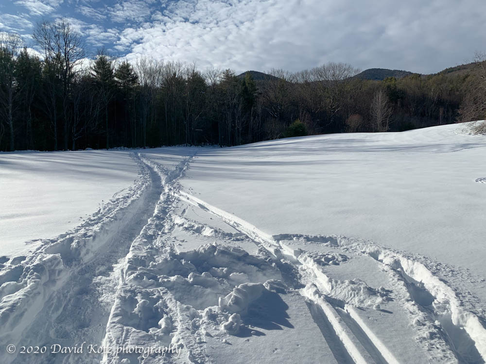
The snowstorm five days ago brought us a sudden beginning for winter, laying down deep powder across the mountains and trails. I’ve been out every day to enjoy the snow, prime conditions for skiing and snowshoeing. With bad weather looming for tomorrow and the next day (Christmas Eve and Christmas Day), Andy and I set out today to make the most of the snow before the rain spoils it.
Tracks in deep snow on Mount Ascutney’s Windsor Trail.
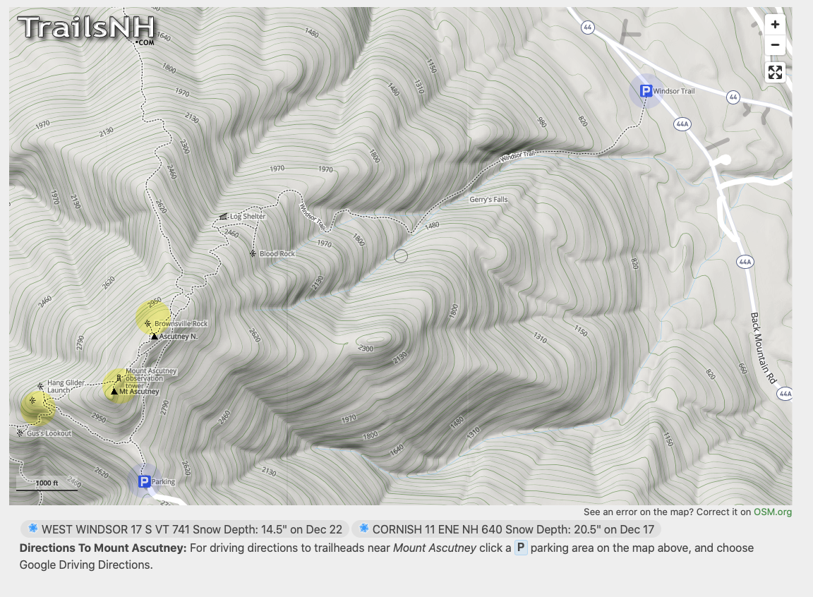
Although we were interested in a return to Moosilauke, the favorite, the forecast showed morning sun with increasing clouds and I feared we’d simply climb into the clouds. So I selected Ascutney; it has lower elevation but 360-degree long-distance views. And heck, it’s been more than four years since I was last there in winter.
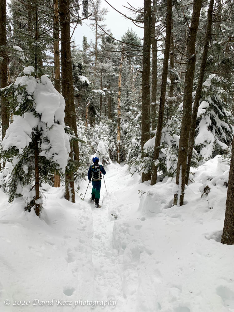
The Windsor Trail is very popular, so it was not surprised to see it broken out. Indeed, it had clearly seen a lot of traffic… skiers, snowshoers, and bare-booters. Andy and I made good time in bare boots for the first half of the climb, passing only three other hikers, and then switched to snowshoes as the snow became deeper and softer.
Andy hiking up Mount Ascutney on a snowy winter day.
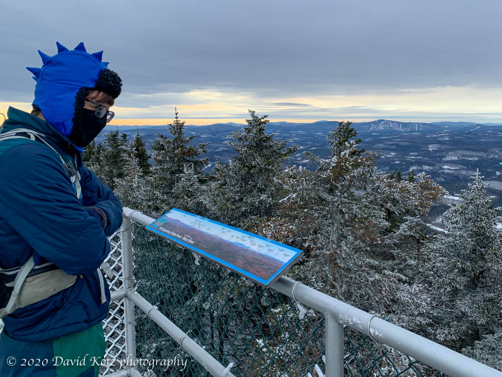
Soon we were at the summit, climbing the observation tower. There’s really no way to capture the scene with a mere smartphone camera, but the 360-degree views span nearly all of Vermont and New Hampshire.
Andy surveys the wintry view from Mount Ascutney.
Clouds were moving in, pulling us under an overcast sky… but to the northeast, the summits of Moosilauke, Franconias, and Presidentials were blindingly white in the afternoon sunshine. (No wonder the range is called the White Mountains.)
Our descent was speedy, boot-skiing down the trail, passing only two other hikers. A fine hike indeed. A few more photos in the gallery.
Hike stats: 5.6 miles (per the guidebook), elevation gain 2,800′ (per Apple Watch). 4 hours.
The Windsor Trail begins at Parking in the upper right and ends at the summit (the middle yellow peak).