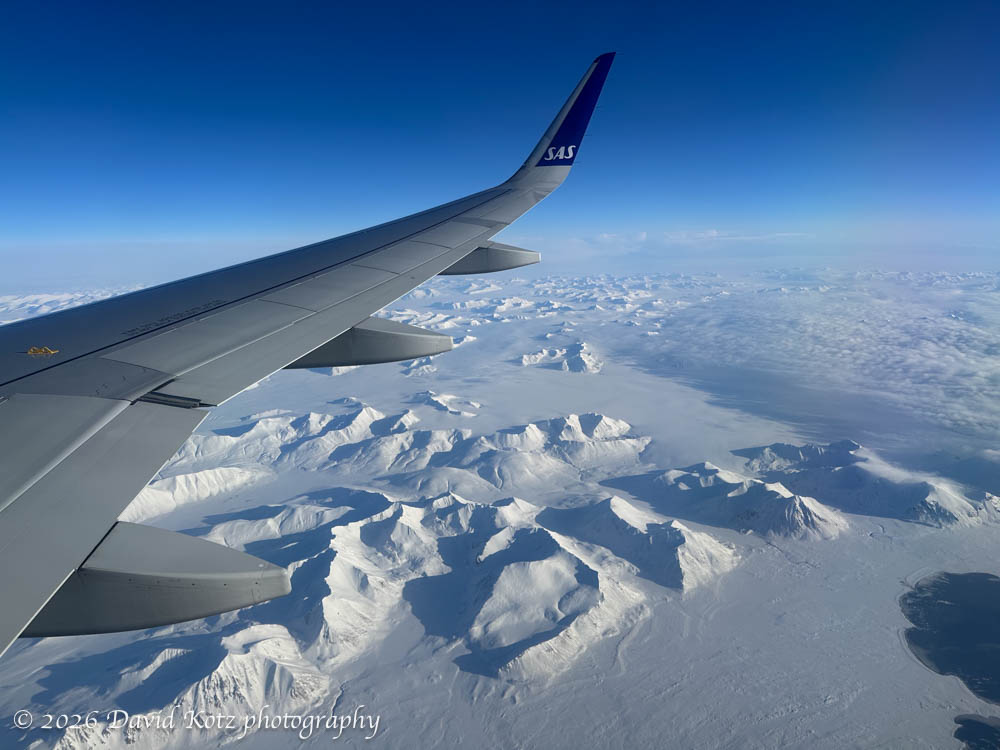
I’ve just concluded a 48-hour visit to Longyearbyen, the largest settlement in Svalbard, an archipelago far, far above the Arctic Circle. (Just to give you a sense how far north, the flight from Oslo (Norway) lasted over two hours.) The weather was fantastic and the flight delighted us with spectacular views of the snowy mountains and fjords as we descended along the west coast before landing just outside Longyearbyen.
One might imagine becoming stir crazy during ten days aboard ship. Fortunately, the expedition team offered many opportunities to go ashore! Nearly every day they would offer short, medium, and long walks. Some were billed as a ‘photo walk,’ accompanied by the ship’s photo experts; others were focused on interpretation of the ecology or history; still others were pointedly called a ‘strenuous hike’ for which exercise was the goal and there would be no time to stop for photos or natural-history lessons. We were fortunate with good weather – sometimes fantastic weather – so I had the opportunity to hike at Dronning Marie Dal (in Skjoldungensund), at the outlet of the Sermeq glacier (at the head of Tasermiut fjord), around the Hvalsey historic site, around the village of Qassiarsuk, and in the tundra above Neria fjord. The scenery was dramatic, and varied tremendously from place to place. Read on for more!