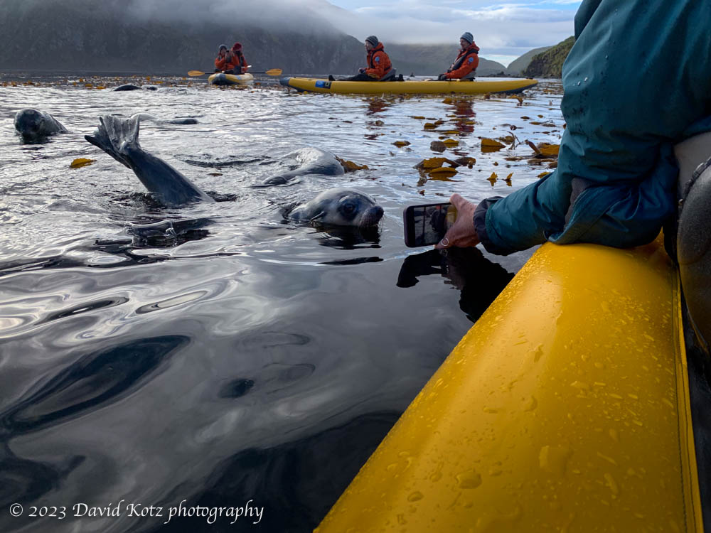
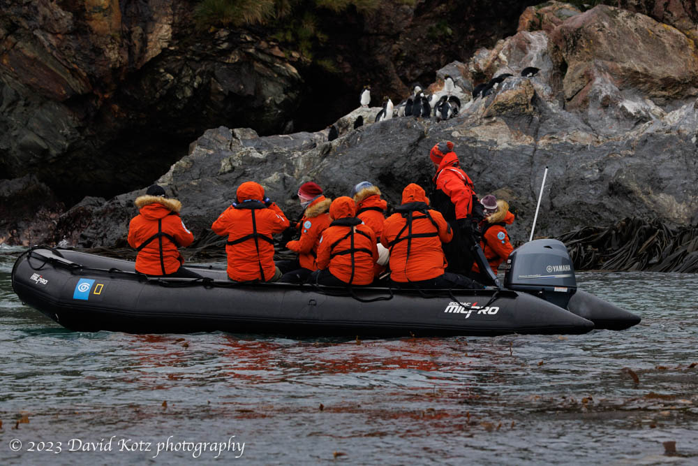
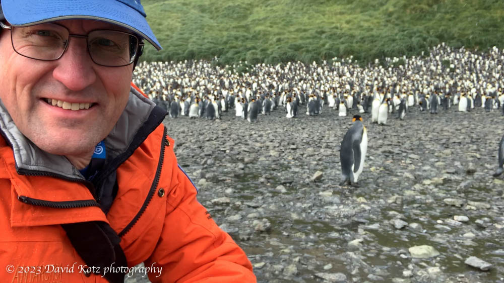
As the sun rose on 8 March, it painted the grassy slopes of South Georgia Island a deep golden color, and dropped a hint of a rainbow into the offshore mist. As I snapped a photo of this splendid sight, I knew we were in for an incredible day. Our first stop: Ocean Harbour, which had once been home to a sealing and whaling operation. In the bay is the derelict wreck of the three-masted ship Bayard, once a cargo ship that sailed the world from India to Fiji and from South Africa to South Georgia, but now home to hundreds of nesting shag; and an old hut, now home to visiting researchers.
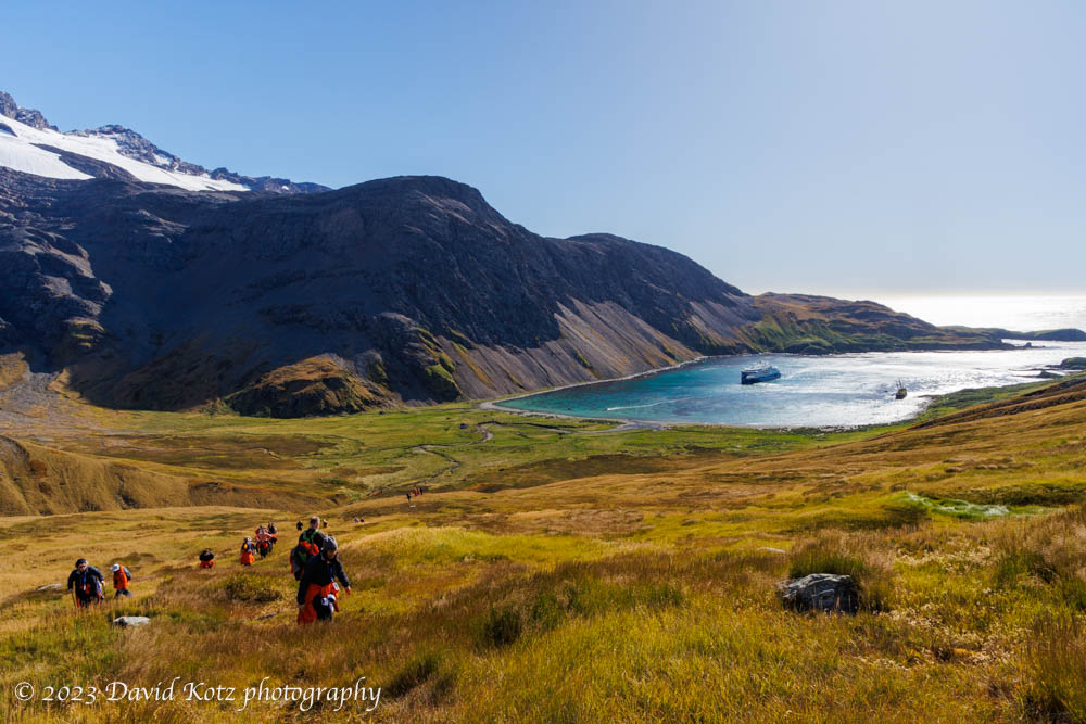
We set out to hike up into the hills surrounding the bay. Read on and be sure to check out the photo gallery.
Continue reading “South Georgia – Ocean Harbour”