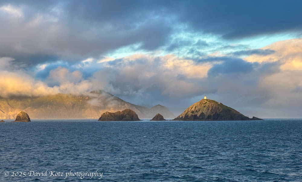
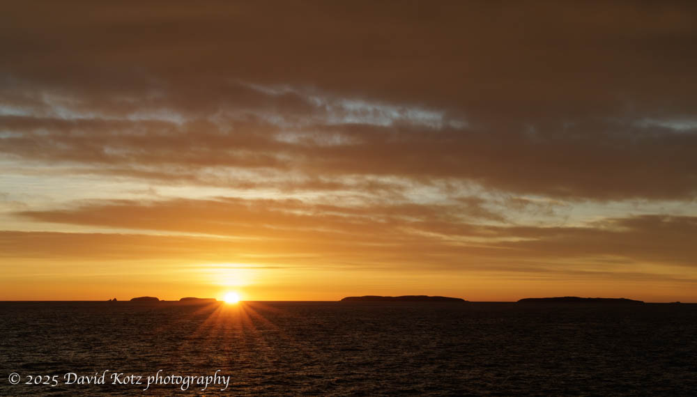
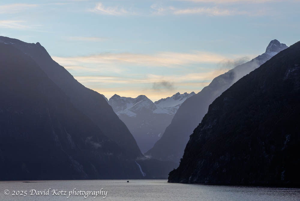
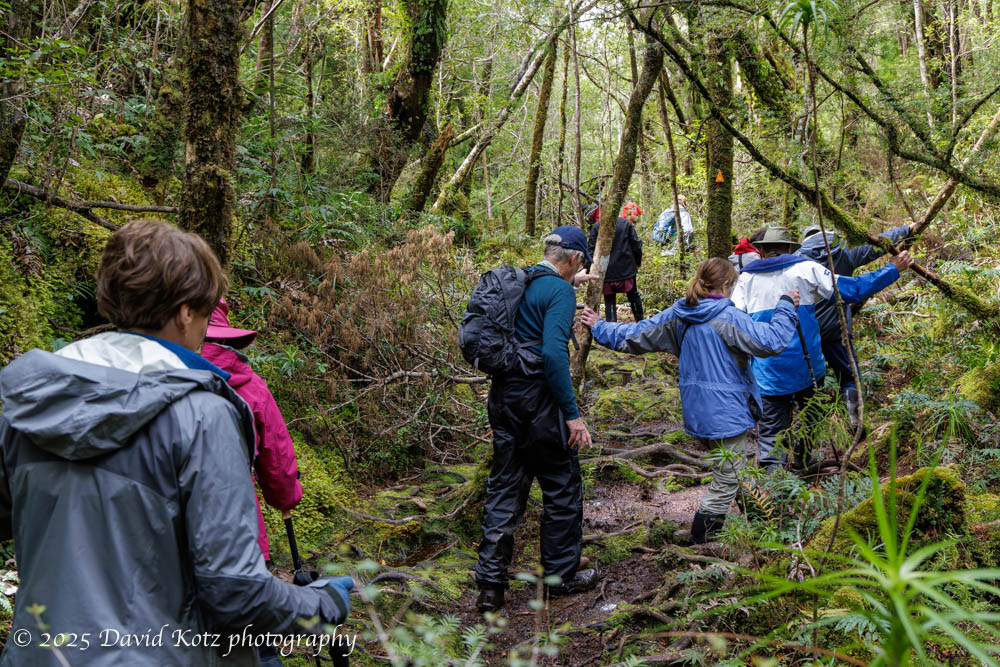
Part of a series of posts about my travel in Iceland, including visits to eleven waterfalls.
I was very nervous about visiting this waterfall. From the guidebook description it sounds fascinating, with a challenging approach through a deep ravine. In one section, you can only progress further by holding a chain and doing a sort-of layback along the left edge of the ravine, bypassing a deep pool and a small cascade. Despite passing all those tests, last year my son managed to dislocate both shoulders(!) merely by leaning down to drink from the stream here. Today, as I drove alone up the rough gravel road to this remote location, and seeing only one other person on site, I was wary about a slip or mistake that might leave me injured. Spoiler: I survived unscathed 🙂
Part of a series of posts about my travel in Iceland, including visits to eleven waterfalls.
After a morning visit to Seljalandsfoss, I hopped in the car and plugged in the address for Gljúfrabúi waterfall, which I knew to be nearby. Little did I know, it is in walking distance! Back to the same carpark I went, and re-donned my now-familiar waterfall kit: parka, rainpants, sandals, and waterproof hat. I followed the trail along the cliff face, passing several other unnamed waterfalls that, in New Hampshire, would be worthy of a name and a carpark all their own… but here are just a sideshow to the massive Seljalandsfoss and the mysterious Gljúfrabúi (officially known as Gljúfurárfoss). The trail to Gljúfrabúi then dives into a narrow cleft in the cliff – one could almost overlook it. Read on!
One of the largest and most iconic waterfalls in Iceland.
Part of a series of posts about my travel in Iceland, including visits to eleven waterfalls.
Likely one of the most recognizable waterfalls in Iceland, at least outside those within the Golden Circle, Seljalandsfoss is a massive, free-falling, overhanging waterfall visible from 50km away as you drive the Ring Road. An extensive (and crowded!) carpark corrals the tourists as they stream toward the short trail up to the falls. I purposely arrived early, around 8:30am, in hopes I might beat most of the tourists coming from Reykjavik. I did, but there were nonetheless over one hundred people already there, each angling for a selfie or family photo. This waterfall is especially exciting because one can walk up to, and behind, the waterfall. Read on!
Wading into the icy water led me to better photos!
Part of a series of posts about my travel in Iceland, including visits to eleven waterfalls.
Stjórnarfoss was unusual among all the falls I visited – hardly anyone else was there. In my half-hour on site, perhaps a dozen people came by to snap their photos. In the photo below, the presence of a few people give you a sense of scale for this two-tier waterfall. Here I deployed my secret weapon: water sandals, which I used at about half of the waterfalls on this trip. The water was cold, and lapped at my rolled-up pants, but the opportunity to wade shin-deep allowed me access to compositions impossible for those who needed to keep their feet dry! Read on…
Part of a series of posts about my travel in Iceland, including visits to eleven waterfalls.
Svartifoss waterfall is impressive, in part for its 20-meter free-fall from the cliffs at the head of a deep gorge. The horseshoe-shaped wall behind the falls is made of columnar basalt, providing a dark, geometric backdrop to a dazzling chaotic flow of whitewater. Hundreds – if not thousands – of tourists hike the short trail to these falls, pausing on a low bridge across the stream below the falls, or on a metal platform cantilevered on the cliff off to one side. Signs ask people not to approach the falls at water level, but with some careful maneuvering I was able to find a spot where I could balance myself on boulders, place my tripod feet in the stream, and get some clear shots. In the photo below, I include a person on the viewing platform at right; although they are closer than the falls, it provides some sense of scale. Read on…
Part of a series of posts about my travel in Iceland, including visits to eleven waterfalls.Iceland is a magical place for anyone who loves waterfalls. The steep terrain, birthed from volcanoes and shaped by glaciers, leads to steep slopes and differential weathering that creates massive cliffs and deep gorges. Plentiful rain and glacial meltwater result in massive water flow that leaves visitors with a sense of wonder – and soaking wet clothes. For each the next 10 days I will share photographs from one of the eleven waterfalls visited on this trip.
I’m sneaking Kirkjufellfoss into my post-Greenland posts, although we actually visited it ten days earlier at the beginning of the cruise to Greenland. We spent a cloudy morning visiting these falls and walking a gravel path back to town, where our ship was docked. These falls, near the Kirkjufell volcano on the Snæfellnes Peninsula, are a favorite subject of photographers. (Mount Kirkjufell is often noted as the ‘most photographed mountain in Iceland.’) As with many of Iceland’s waterfalls, it is particularly challenging to capture this beautiful waterfall without a lot of people in the shot. In this case, the pathway for visitors literally passes above the falls on a low bridge across the stream, meaning any upstream shot inclusive of the whole cascade is bound to include the bridge and, today, several other tourists. Patience, and careful composition, led me to some decent shots. Read on…
Massive glaciers spill ice into a tidal lagoon – ice that washes ashore on a black-sand beach. Spectacular!
Part of a series of posts about my travel in Iceland, including visits to eleven waterfalls.
Although the trigger for this visit to Iceland was to board the National Geographic Endurance for an expedition cruise to southern Greenland, photography was the focus of my extended stay in Iceland. This post highlights photos from my first stop in Iceland: Jökulsárlón (aka Glacier Lagoon) and its adjacent Diamond Beach. While I’m at it, Fjallsárlón lagoon is just down the road and offers equally enthralling scene of an adjacent glacier calving bergs and berglets into a tidal lagoon. Read on to see photos!
A spectacular gorge with a pretty waterfall at its head.
Part of a series of posts about my travel in Iceland, including visits to eleven waterfalls.
Although Fjaörárgljufur ravine includes several beautiful cascades, it is best known for its deep and spectacular gorge. When I visited, on the afternoon of my first day, it was teeming with other visitors who hiked the trail on the high terrain for its various views across and down into the gorge. The trail ends at a precarious viewing platform overlooking Mögárfoss, a tall waterfall at the head of the ravine. Read on…
One might imagine becoming stir crazy during ten days aboard ship. Fortunately, the expedition team offered many opportunities to go ashore! Nearly every day they would offer short, medium, and long walks. Some were billed as a ‘photo walk,’ accompanied by the ship’s photo experts; others were focused on interpretation of the ecology or history; still others were pointedly called a ‘strenuous hike’ for which exercise was the goal and there would be no time to stop for photos or natural-history lessons. We were fortunate with good weather – sometimes fantastic weather – so I had the opportunity to hike at Dronning Marie Dal (in Skjoldungensund), at the outlet of the Sermeq glacier (at the head of Tasermiut fjord), around the Hvalsey historic site, around the village of Qassiarsuk, and in the tundra above Neria fjord. The scenery was dramatic, and varied tremendously from place to place. Read on for more!
It’s hard to imagine the size of Greenland, or its ice cap. Even those glaciers that flow down to the sea, like the Thryms glacier below, are truly massive. (Notice our ship, the National Geographic Endurance, at lower left!) Read on for more about our outings among the ice, including video…