We were in the area of Burlington, Vermont for the long weekend, so I was eager to take advantage of the amazing hiking opportunities in this beautiful corner of Vermont. Sunday morning’s weather looked good – few clouds and almost no chance of rain – so Andy and I headed for Mount Mansfield. As Vermont’s highest peak at 4,393′ (1339 meters), with open summits offering grand views, it is an extremely popular destination. With the Stowe ski area on its eastern slopes operating an easy gondola ride close to the summit, even in summer, and with the proximity of Vermont’s largest city, I knew the trails would be busy on this holiday weekend – so we were on the trail before 8 a.m.
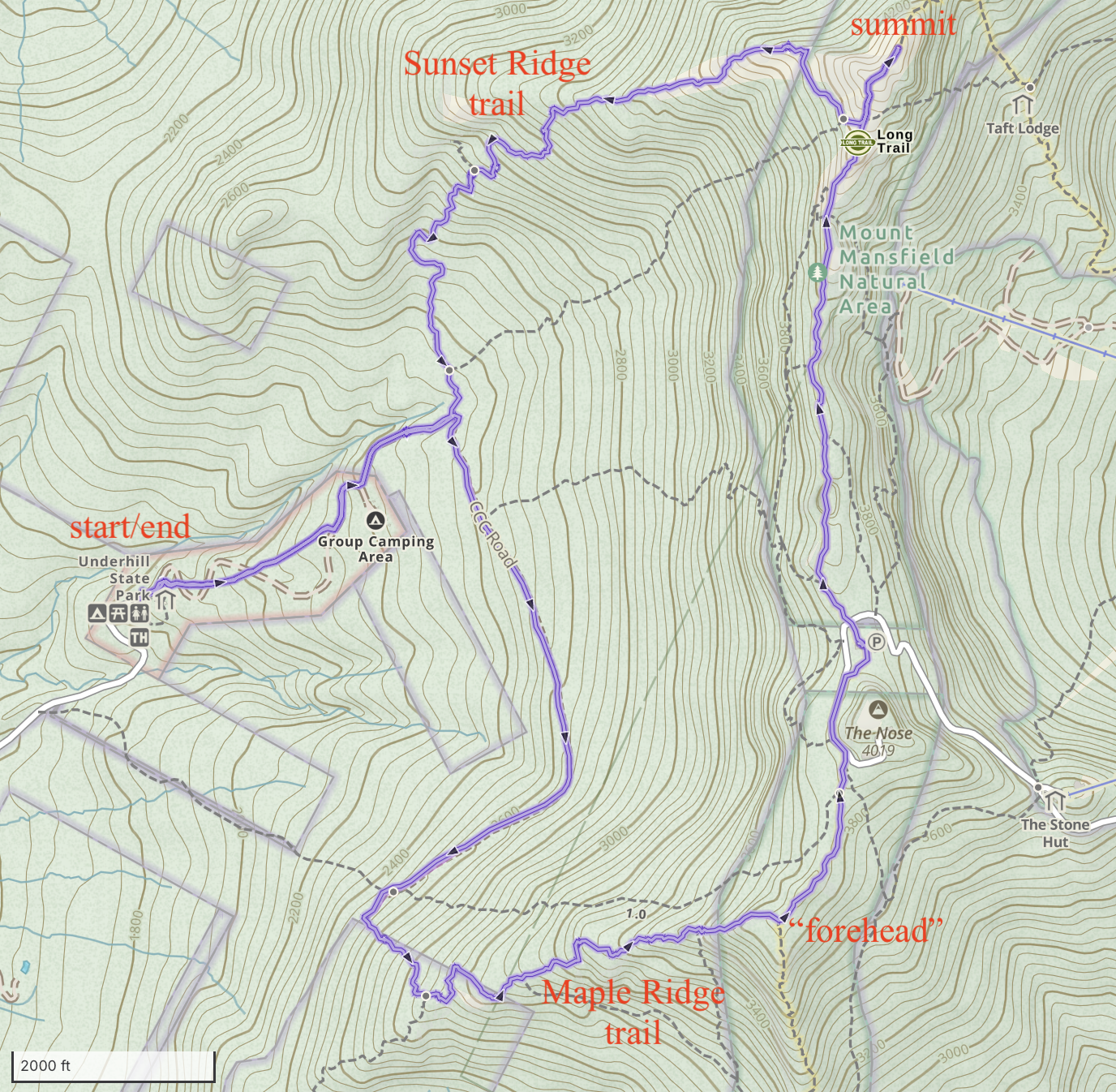
As we drove east from Lake Champlain in the early morning light, the sky was locked behind thick, low clouds. I knew this meant we would be hiking up through the clouds and, if we were lucky, emerge above the clouds for a sunny view across the top of the cloud deck. We chose a loop route that would ascend the Maple Ridge trail toward the “forehead”, then follow the mostly-open summit ridge to the high point at the “chin”, then down the Sunset Ridge trail. (Some say Mount Mansfield looks, from afar, like the profile of a man laying down, so the bumps and knobs of the summit ridge have nicknames like forehead, nose, chin, and Adam’s apple.)
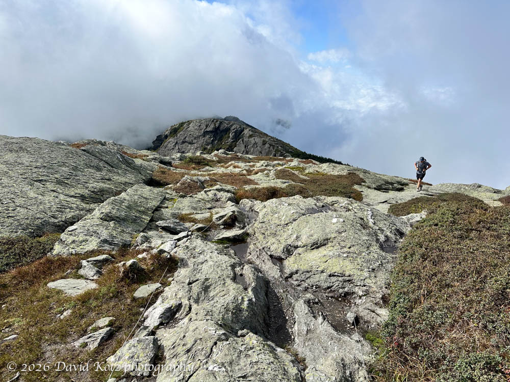
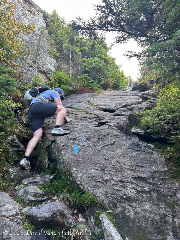
The Maple Ridge trail is remarkably rugged – requiring us to friction-climb up vast labs of granite, scramble over boulders, and even leap across deep chasms.
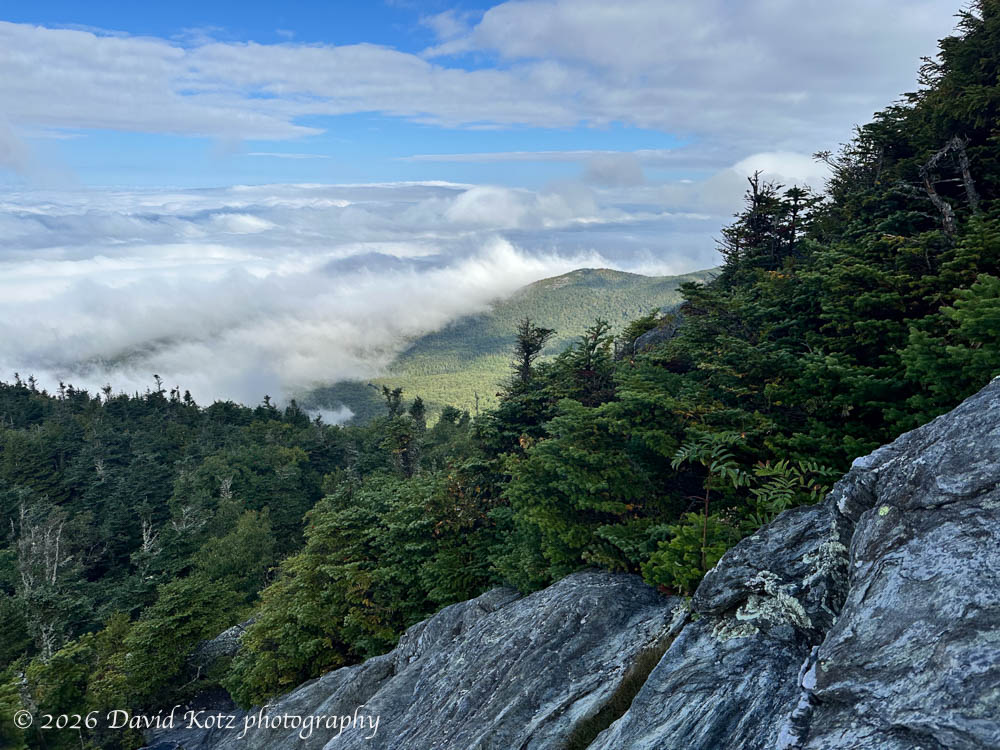
As we neared the “forehead” we glimpsed a view north along the summit ridge, and got a peek across the tops of the clouds covering the Champlain valley. Unfortunately, bits and pieces of clouds would frequently tear off from the underlying mass and blow around us, never allowing us an unobstructed view.
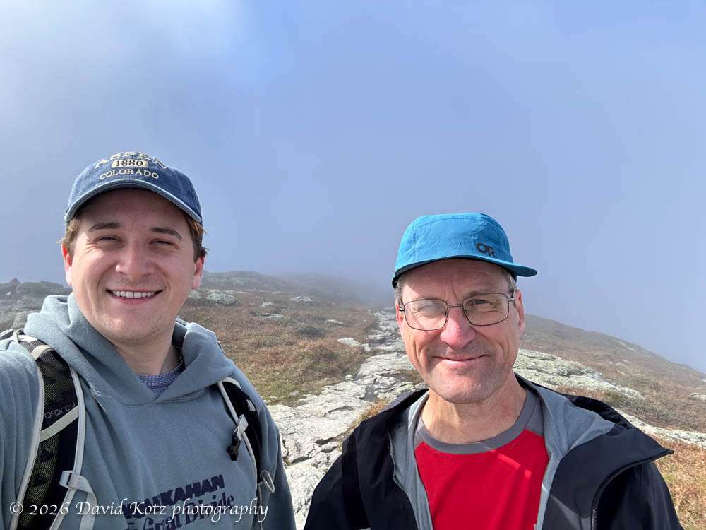
The traverse of the summit ridge was lovely, though I must admit I had hoped for wide-open views on both sides. (If the ridge were only 500′ higher… sigh.) We reached the main summit, the “chin”, where the friendly summit steward was chatting with four or five other early-riser hikers. Full clouds. No views. But a wonderful place to be on a late-summer morning!
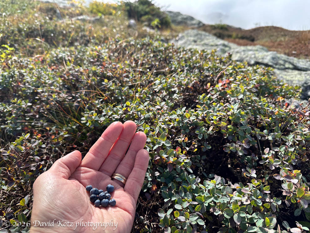
We headed back down, dropping off the ridge to follow Sunset Ridge. Also quite rugged, also wide open for the first mile or two, we had to imagine the long-distance views across Lake Champlain to the Adirondack Mountains. Fortunately, the wild blueberries were plentiful enough for a morning snack.
Despite the clouds, it was a pretty day – check out the photo gallery. (Very different conditions than my prior visit, in March 2016!)
Hike stats: 50th consecutive weekend hike
Distance: 7.54 miles (12.1km)
Gain: 2,585 feet (788m)
Time: 4h14m
GaiaGPS track