I’ve always wanted to drive across country, that is, across the United States from west to east. In my mind, it was always a leisurely road-trip wandering from state to state, exploring the national parks, historic sites, and cultural touchstones along the way. So, I was pleased when a series of duties and events aligned, finally allowing me the opportunity to drive from California to New Hampshire. The schedule did not allow me to wander leisurely about the landscape – let alone to explore any place in depth, or to pause for serious photography – but the trip nonetheless presented a smorgasbord of scenery, a cross-section of roadside dining outlets, and brief glimpses of Americana.
Anchor points
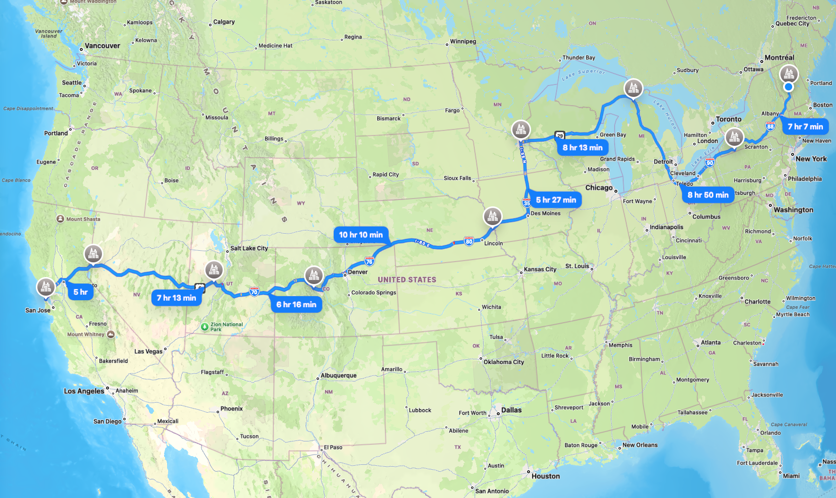
The primary motivation for this trip was the return of my car, a Tesla Model Y, from where it had been living with my son in San Francisco while we spent the year in London. Thus, San Francisco was the western ‘anchor point’ for my route across country. I used this opportunity to spend two days in Silicon Valley interviewing tech leaders about the use of AI in software development, which will help guide me as I return to teaching software design and implementation.
The next ‘anchor’ was a wedding in Aspen, Colorado, over the weekend; then a conference (the CRA Summit) outside Minneapolis two days later; then home in New Hampshire. Although I was away from home 15 days, only eight of those days were available for driving: hence, every day required covering some serious distance. What follows are some photos and brief highlights of each day.
Day 1: California to Nevada (259 miles)
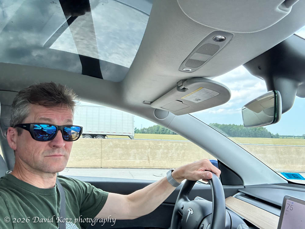
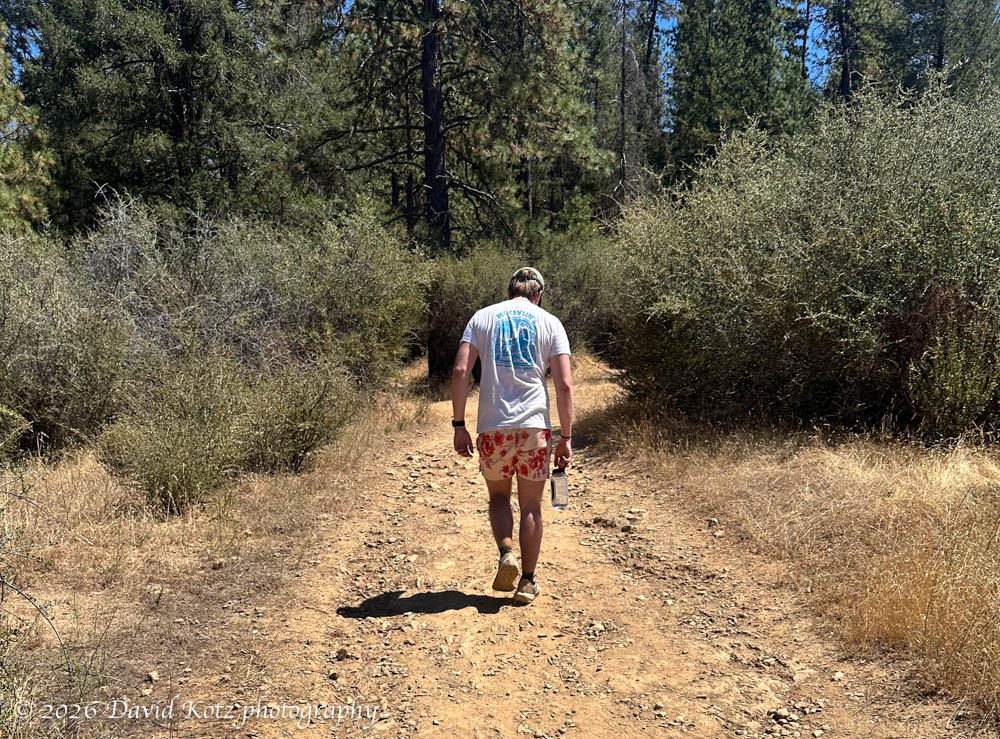
After dropping off my colleague at San Francisco airport (“mile zero” for this cross-country journey), I topped up the Tesla to 100%. My son Andy and I then packed the car and plotted our route northeast. We identified an interesting hike near the confluence of two forks of American River in a state park not too far from the Nevada border. The terrain was dry, with scrubby trees and brush, as we stepped out of the car into the blistering-hot (101ºF, 38ºC) afternoon sun. We quickly realized, as we climbed the steep, dusty trail up and away from the river, without shade, we needed to reduce our ambitions. We decided to take a shorter loop back to the start.
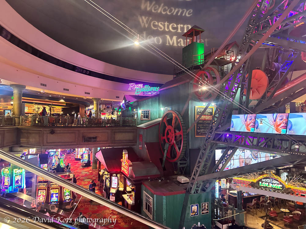
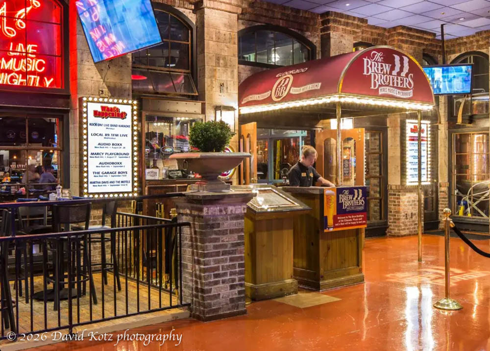
On arrival in downtown Reno, Nevada, we eyed the flashy casinos surrounding the parking lot as we pumped more electrons into the Tesla. We decided to place our bets on the Silver Legacy Casino, which offered cheap-but-acceptable lodging and a variety of food options (we chose the Brew Brothers pub). I must say, life inside a casino is a remarkable experience where the sun never sets, the bars never close, and the gamblers never sleep. (At 5:30 the next morning, when I was looking for Starbucks, there were still players at the Blackjack table, smokers at the bar, and hopeful people at the digital slot machines. Sad.)
Day 2: crossing Nevada, into Utah (473 miles)
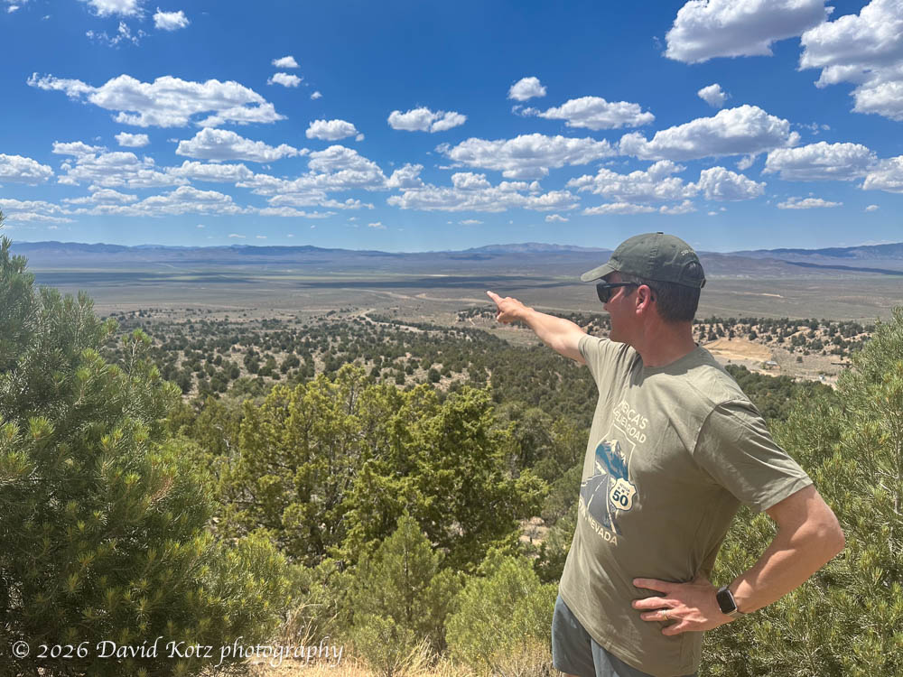
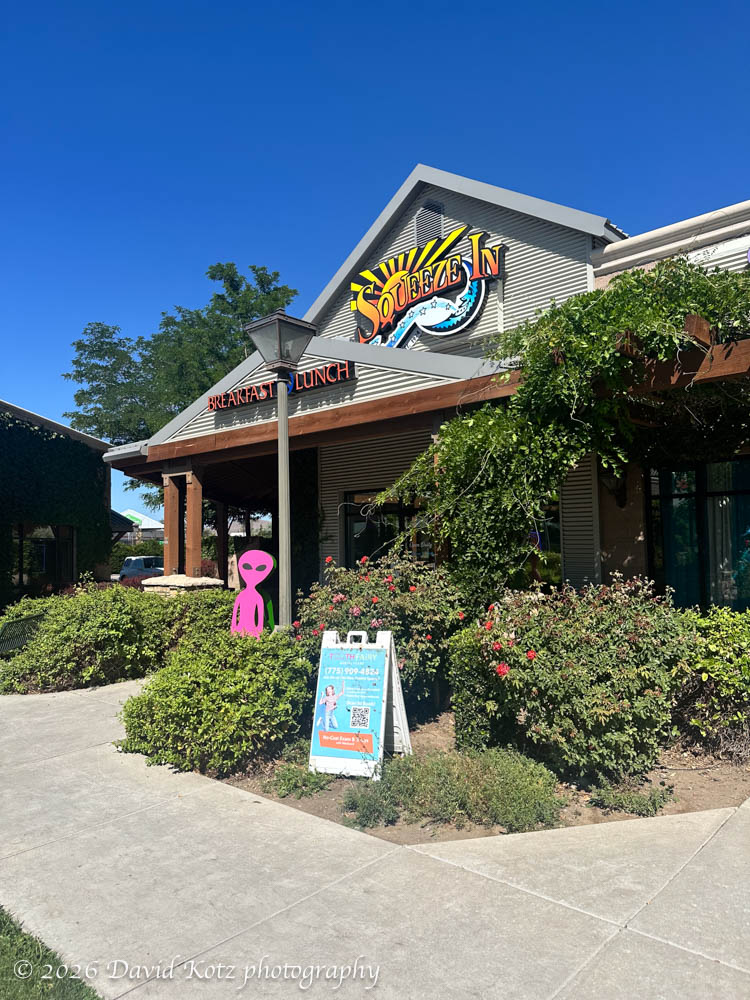
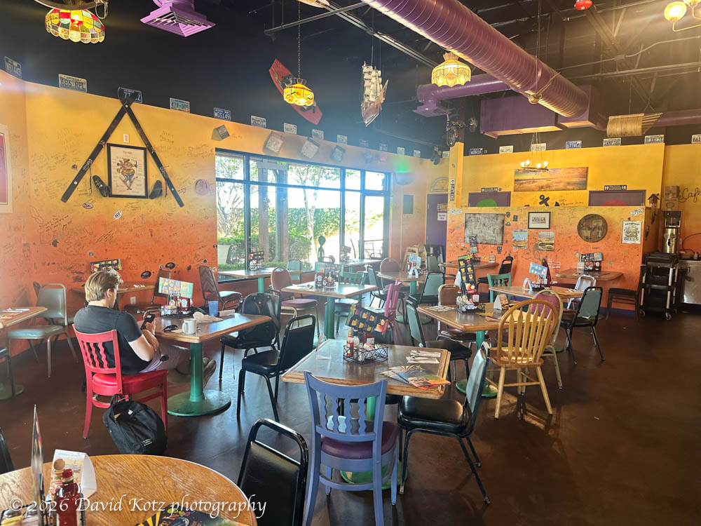
From Reno to Aspen, the obvious route would follow Interstate 80 through Salt Lake City and beyond. We were looking for something more interesting and decided to follow US Route 50 across central Nevada. Route 50, dubbed the “loneliest road in the US” by Life Magazine some decades earlier, also happens to coincide with the historic route of the Pony Express (the United States’ first long-distance express-mail service). After brunch at the delightful ‘Squeeze In’ diner while charging in Fernley Nevada, we spent the next several hours crossing seemingly endless, empty-looking plains separated by low rolling hills. No trees. Only one tiny town (Austin) offers services across 250 miles; here, we walked up a small hill to the ruins of “Stoke’s Castle” (a stone house) with a grand view back the way we had come.
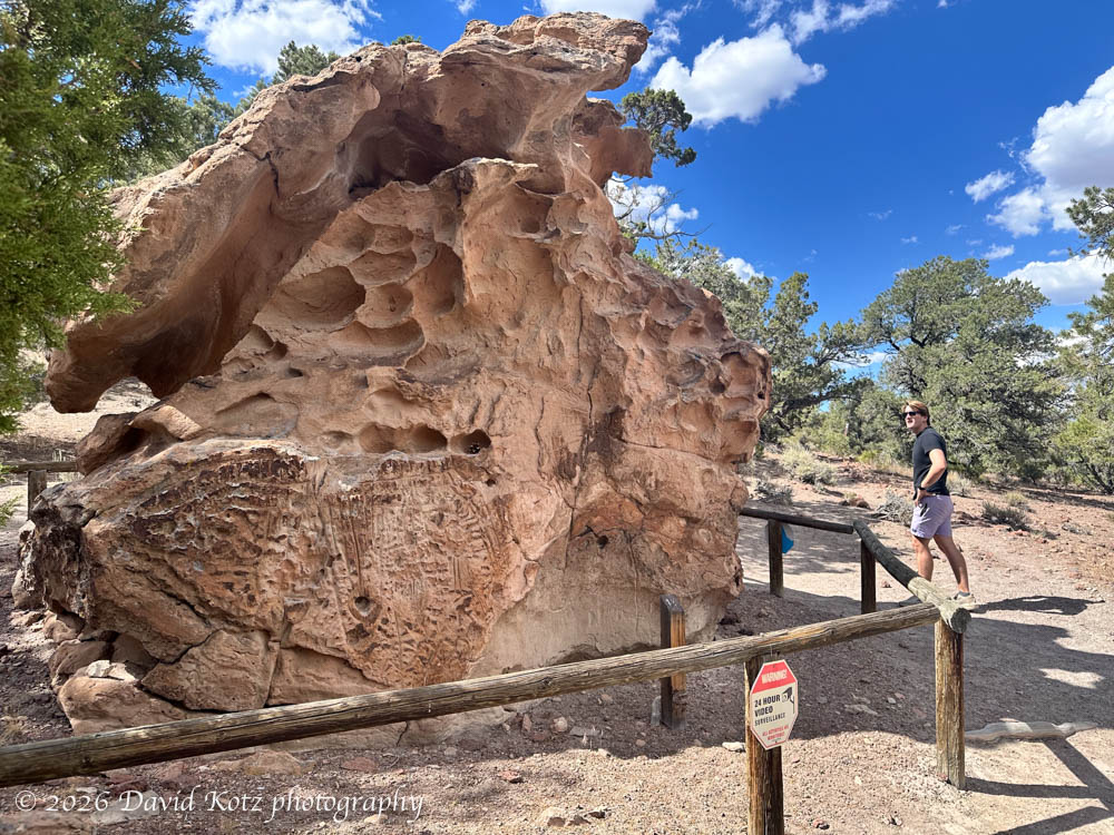
In mid-afternoon we stopped for a walk at Hickison Petroglyph Recreation Area, a quiet state park with trails that wind through rocky terrain dotted with scrubby trees, stopping occasionally to point out some petroglyphs. Interesting, and worthy of a visit – though there are surely better petroglyphs elsewhere.
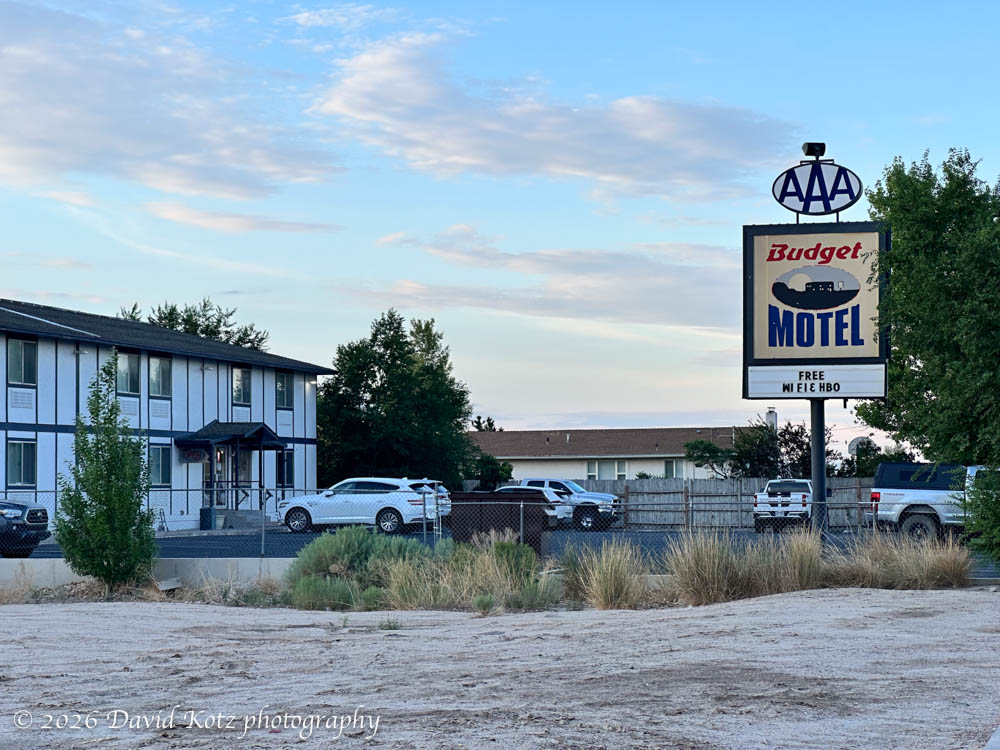
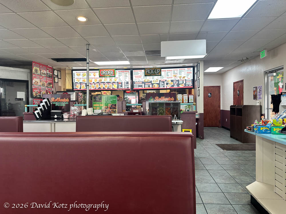
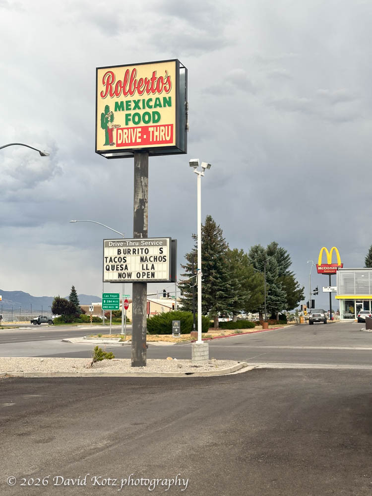
Dinner found us at Rolberto’s Mexican Food, in Ely NV, while we charged our Tesla and decided to press onward into Utah. By 10pm we made it to the small town of Delta, Utah, where we found a room at the Budget Inn – a mom-and-pop operation run by an Indian couple who had relocated from (of all places) Londonderry New Hampshire. (We purposely skipped the Schitt’s Creek motel.)
Day 3: Utah into Colorado (523 miles)
Our third day was ambitious, because we had to reach Aspen Colorado before dinner and yet we wanted to stop at Arches National Park in Moab, Utah. Although Moab was only a half-hour out of our way, we needed at least 3-4 hours to make even a half-respectful visit to this amazing National Park. So, we were on the road by 6am, not long after the other guests (mostly, road-construction workers) had already headed out.
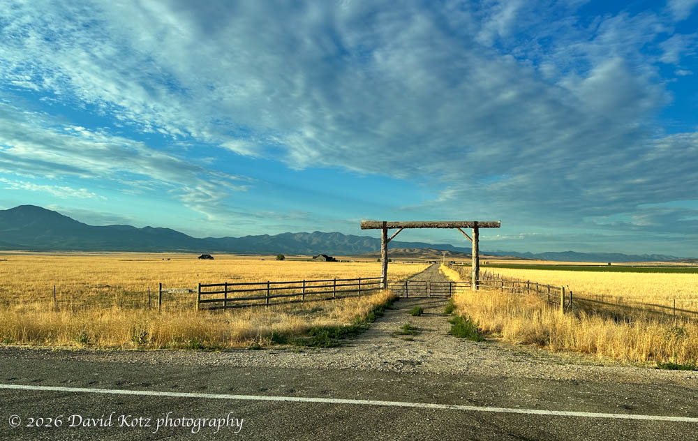
We stopped at a massive truck stop in Scipio, where double- and even triple-tandem long-haul truckers were gassing up. From here the terrain began to look more like canyon country, and Interstate 70 offered formal viewpoints like the Salt Wash overlook and the Spotted Wolf overlook. Both gave us an opportunity to stretch our legs and absorb this new kind of scenery.
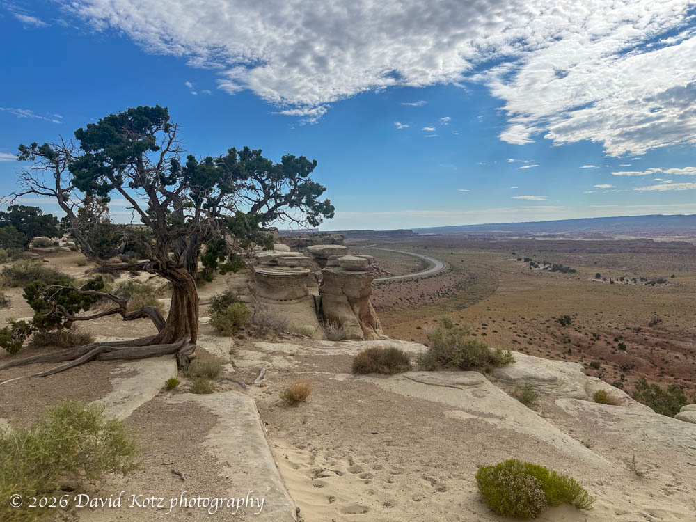
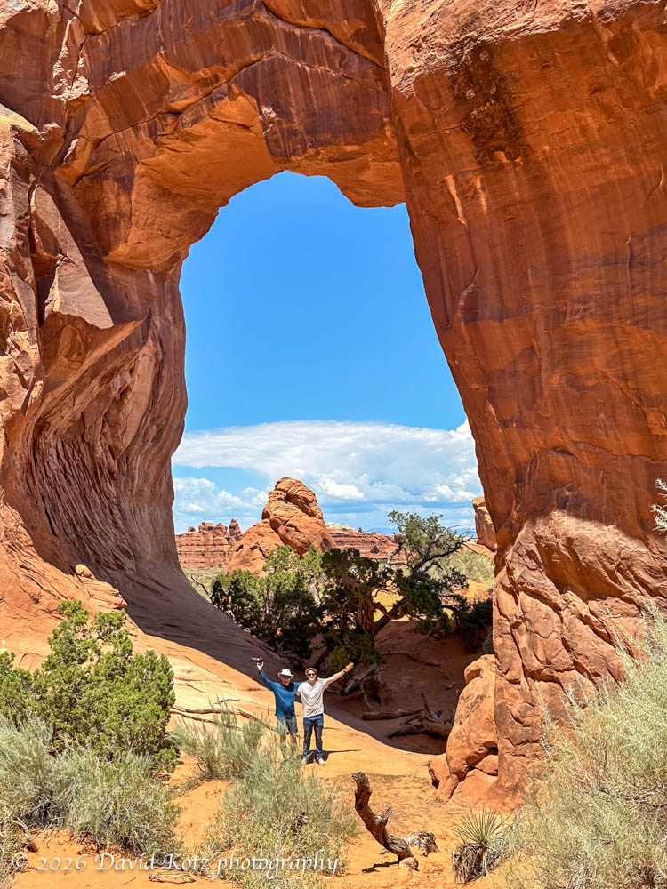
We made it to Arches National Park in late morning, and spent the next couple of hours visiting as many viewpoints and hiking out to as many arches as we could manage on our short time budget. The park was busy with tourists; some day, I’d like to return when it is less busy, and find some of the more remote, less-traveled trails.
After a lunch of BBQ at Spitfire Smokehouse, our Tesla was charged and ready to go. We sprinted from here to Aspen, where we spent the weekend attending a family wedding.
Day 4: Aspen (18 miles)
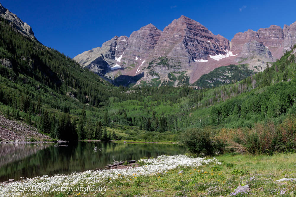
No driving was necessary today – the wedding day – but we spent the morning hiking to Crater Lake in the Maroon Bells wilderness area. While lunching at Home Team BBQ, we topped up the Tesla to 100% for an early start on Sunday.
Day 5: Colorado, into Nebraska (726 miles)
At this point we really needed to put the pedal to the metal, because I needed to be in Minneapolis by noon on Monday. Before 6am on this Sunday morning, then, we were twisting along the mountain roads east of Aspen, climbing slowly to where our route crosses the Continental Divide at Independence Pass.
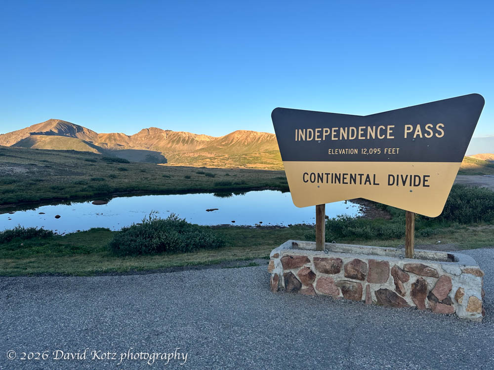
Winding down the other side, we encountered our first (and as it turns out, only) experience with wildfire smoke. After reading news of the horrible smoke emerging from wildfires in Canada and the American west, inundating the northeastern US, I was concerned we might be breathing smoke throughout the week to come. No, fortunately not. After one or two hours in a valley with mild smoke, we were clear. We ate a disappointing breakfast gleaned from the racks at a convenience store, then dropped off Andy at Denver airport. From here, Pam would help me drive to Minneapolis.
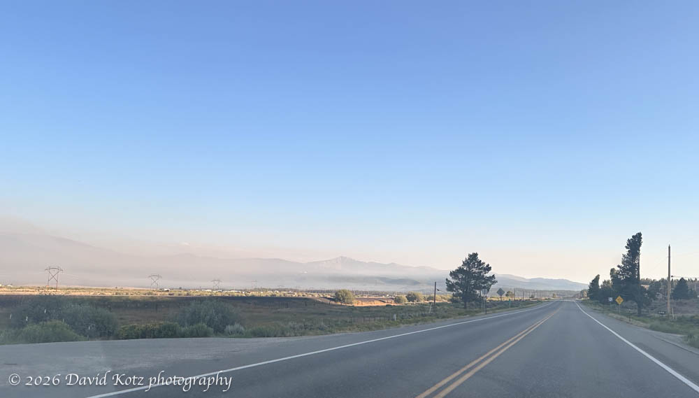
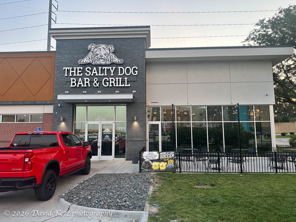
Eastern Colorado, and all of Nebraska, was a bit of a blur as we followed Interstates 76 and 80 past endless fields of corn and soybeans. We ate lunch at Margarita’s Mexican restaurant in Ogallala, popular with families on this Sunday afternoon, and a quick dinner at Runza (a regional fast-food chain). When we pulled into a chain hotel outside Omaha, after driving 726 miles, I couldn’t pass up the opportunity to grab a beer at the Salty Dog – just across the street from the hotel. (My DOC friends will know why.)
Day 6: Nebraska into Minnesota (426 miles)
Another early start allowed us to push northeast across Nebraska, across the corner of Iowa, and up into Minnesota. We arrived at the Mystic Lake Center around noon. This massive casino and conference center is run by the Shakopee Mdewakanton Sioux Community, and was an excellent facility for the conference I was attending. I ignored the casino, but the parking lot includes free EV charging!
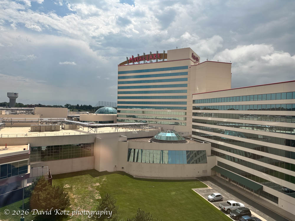
Days 7-8-9: Computing Research Association meetings (0 miles)
Although the Computing Research Association (CRA) Board meeting and Summit kept me quite busy, one afternoon break allowed me to take a short hike through a nearby park. It was a lovely space with green forests and blooming wildflowers. Hiking alone along the bike paths, I encountered few other people. I was thus not terribly startled when I came face to face with a coyote, who was traveling toward me on the same path. He sized me up, then turned and trotted off in the opposite direction. (see photo gallery)
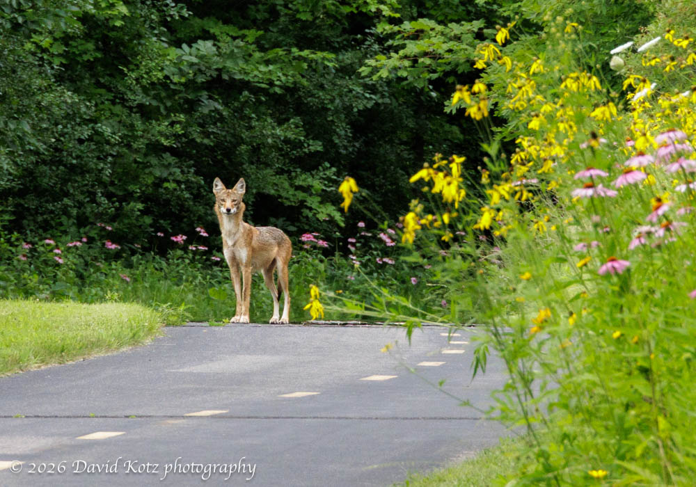
Hike stats:
Distance: 4.66 miles (7.5km)
Gain: 120 feet (37m)
Time: 1h28m
GaiaGPS Track

Day 10: Minnesota to Macinaw (540 miles)
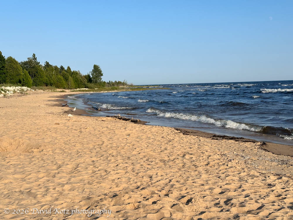
After the CRA conference ended, I departed early on Friday morning to join a colleague for breakfast at the ‘Perk Up’ diner in Minneapolis. Although I was traveling solo at this point, I decided to take the longer (but more scenic) route homeward: rather than swinging south under all the Great Lakes, I headed northeast through Wisconsin and into the Upper Peninsula (UP) of Michigan. This route took me through endless green forests, then along the shore of Green Bay on Lake Michigan. After seeing the sun set over the lake, I crossed the narrow strait between Lake Michigan and Lake Huron to reach a cheap lakeside motel in the touristy city of Mackinaw. (I had hoped to take the ferry out to Mackinac Island, but with hotel rooms costing $500 and up, I chose the $95 budget motel instead!)
Day 11: Mackinaw to Olean, New York (658 miles)
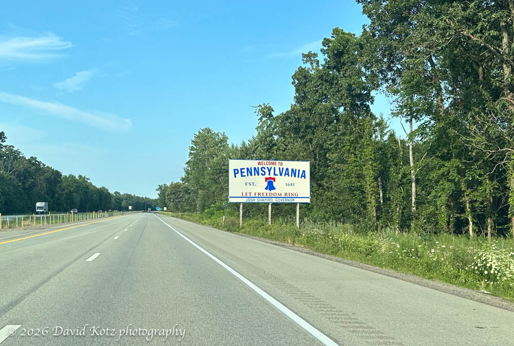
After a brief (and chilly) swim on the motel beach, as the sun rose over Lake Huron, I headed south through Michigan. I stopped at several locations of the Meijer chain of superstores, which seem to host Tesla superchargers throughout Michigan. In Ann Arbor (home of the University of Michigan) I met a former Dartmouth colleague for lunch at Buddy’s Pizza. Thus fortified, I headed south and east to follow the southern shore of Lake Erie through what (to me) was the least-interesting part of my journey: through Toledo, Cleveland, and Erie, all along rather dull Interstate highways in Michigan, Ohio, and Pennsylvania. I was relieved, then, when I entered New York state and was driving through rural countryside, passing cornfields and horse pastures. I made it as far as Olean (home of tiny St Bonaventure University) before plugging my car into a charger – and tucking myself into bed – at the Best Western.
Day 12: Past the old home (Oneonta NY) to now home (Lyme NH) (473 miles)
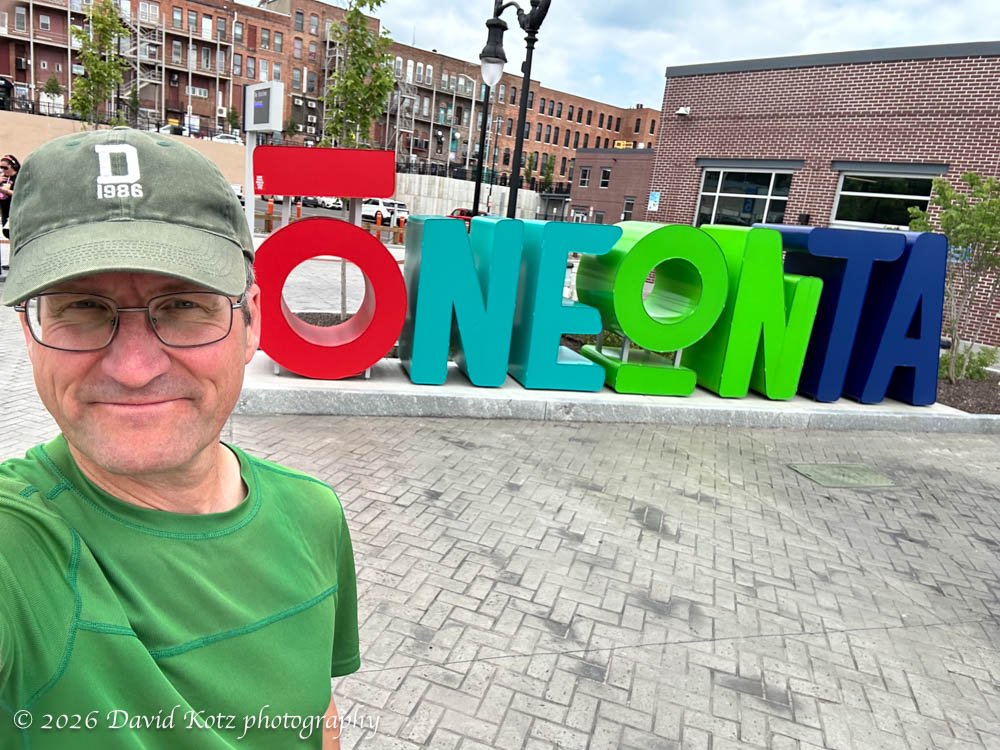
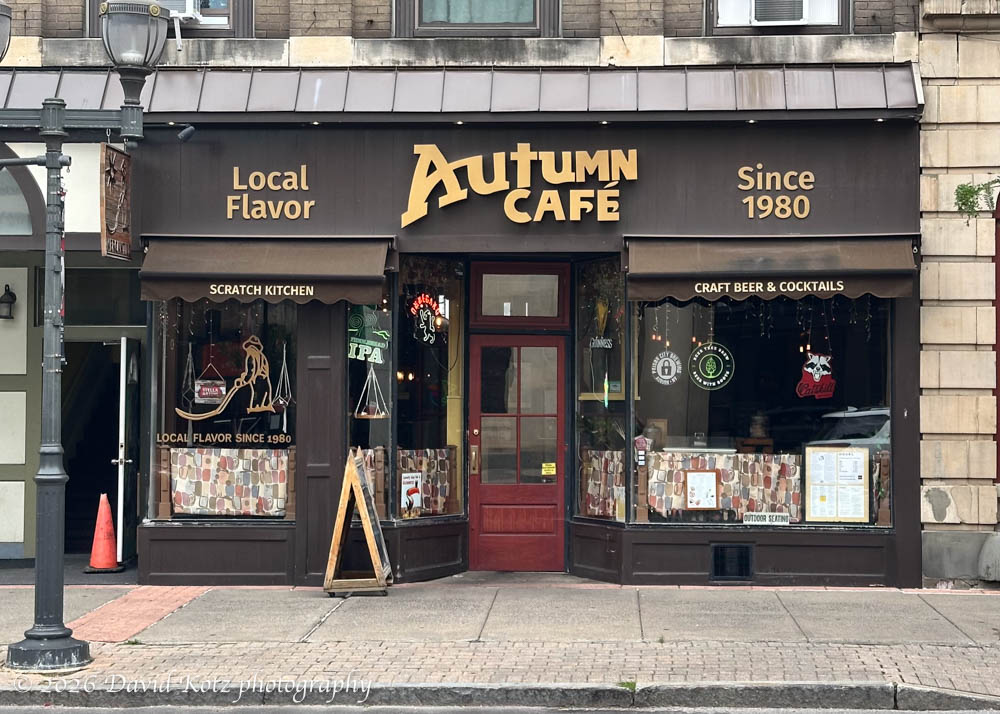
On my final day I was excited to be passing through the town of Oneonta, New York. Once there, I spent a delightful few hours driving past my childhood home, the schools I attended (grades 1–9), and my father’s university office. I ate lunch at the Autumn Cafe (a family favorite), and rambled through a forested park where my brother and I had many outdoor adventures. I took this opportunity, a sunny Sunday, to hike at Table Rock to maintain my unbroken streak of weekend hikes.
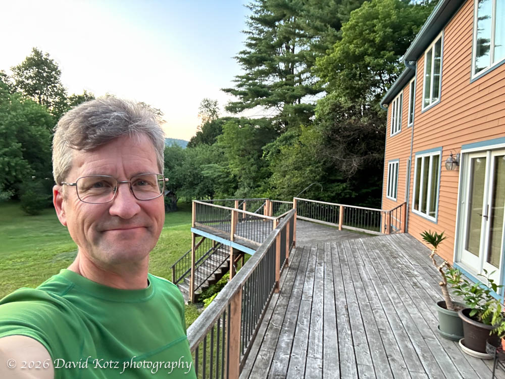
Finally, in mid-afternoon, it was time to head for home. I cruised up the Interstate to Albany, then across southern Vermont to Brattleboro, then up the Interstate to West Lebanon, New Hampshire. After a final stop there at a Tesla Supercharger, I made it home in the early evening.
Observations
What a journey! Altogether, I traveled 4,096 miles (6,592 kilometers) during 8 days of driving over 15 days of travel; that is an average of 512 miles per driving day. (My CS friends will no doubt be noting three powers of two!) The overwhelming impression I gained while driving hour upon hour across the west and midwest is the United States is incredibly large. As a longtime resident of New England, where everything is close at hand, I really noticed how everything is bigger out there: the mountains are taller, the lakes are wider, the plains are vaster, and the crops stretch to the horizon.
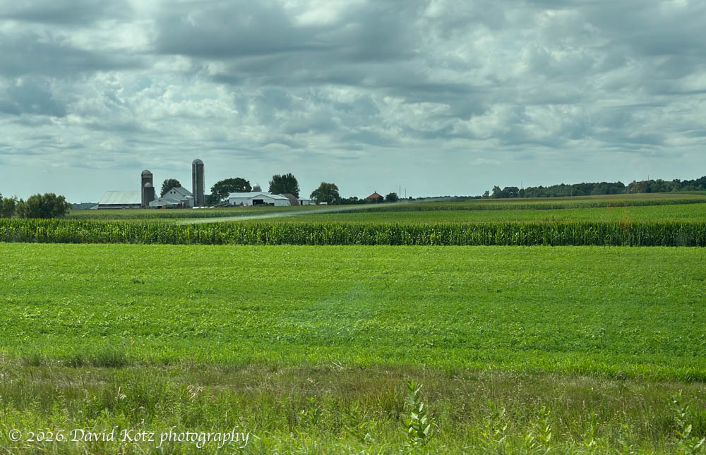
It was fascinating to experience such a wide range of American scenery, from the dry scrubby terrain of eastern California and Nevada, to the canyon country of southern Utah, to the Rocky Mountains of Colorado, to the vast agricultural fields and facilities of the midwest, to the glacier-flattened now-forested terrain around the Great Lakes, to the comfortably familiar rolling hills of rural New York and Vermont. To some extent, I also had a taste of the curious variety of American culture, through my brief encounters with casino-dwelling elders, to road-hardened truckers, to hard-working locals in the diners, to sunburned tourists with cranky children, to the many, many friendly faces I encountered every step of the way.
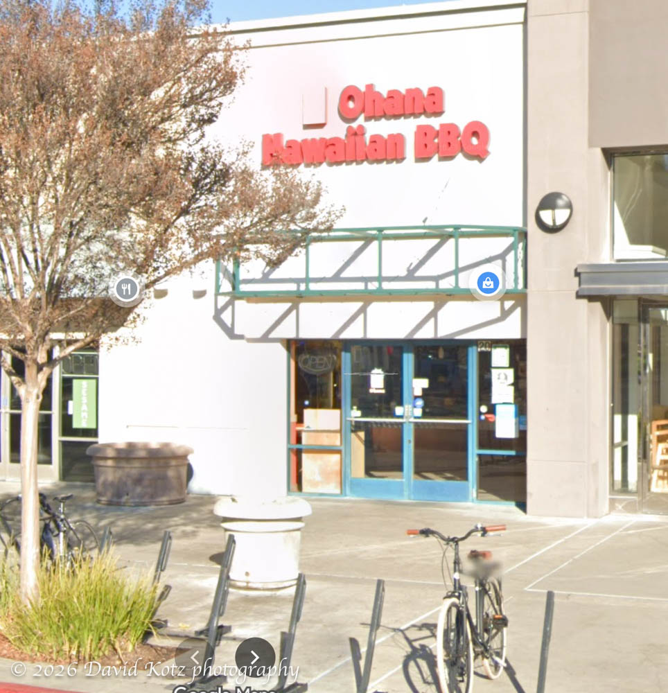
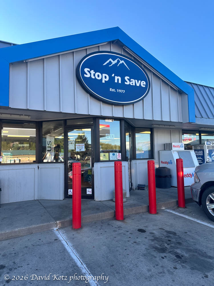
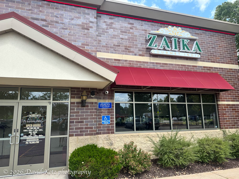
I also had a taste of a wide variety of American ‘road food’. I refuse to eat at fast-food burger joints, and always enjoy trying diners or local chains, so we ate at a huge variety of cheap, fast, and sometimes actually quite-good establishments. Cuisines ranged from diner and pub food; to pizza; to grocery-store prefab sandwiches; to Indian or sushi or Hawaiian or Mexican. Here are just some of the many locations:
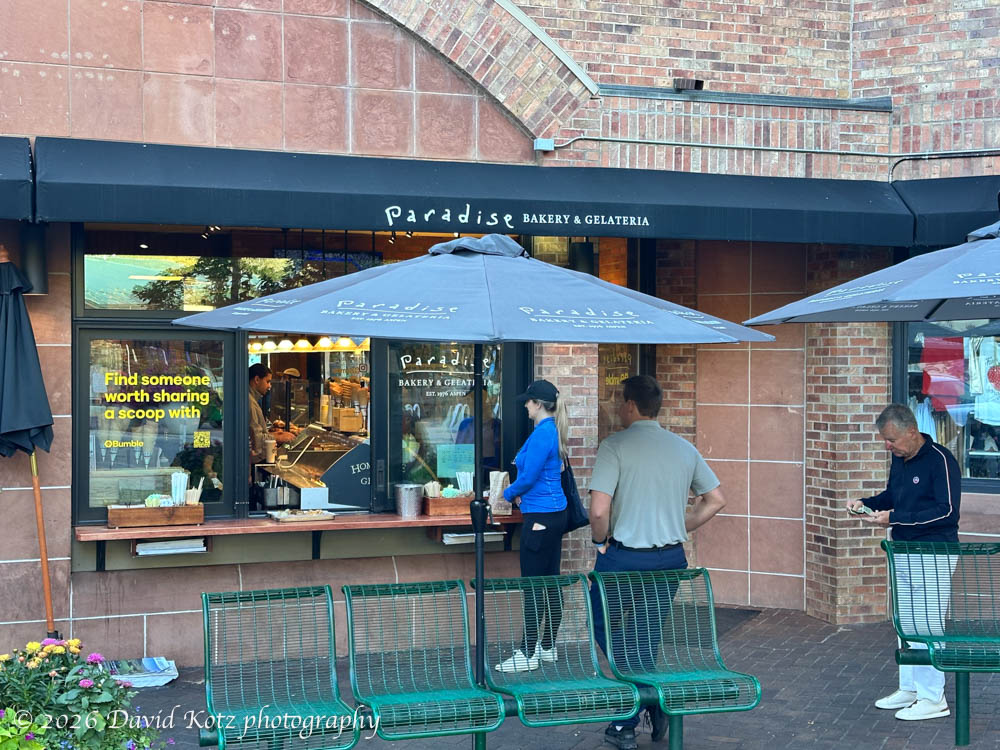
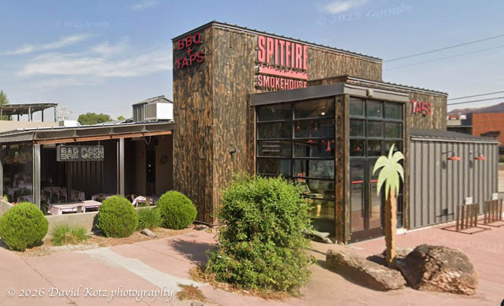
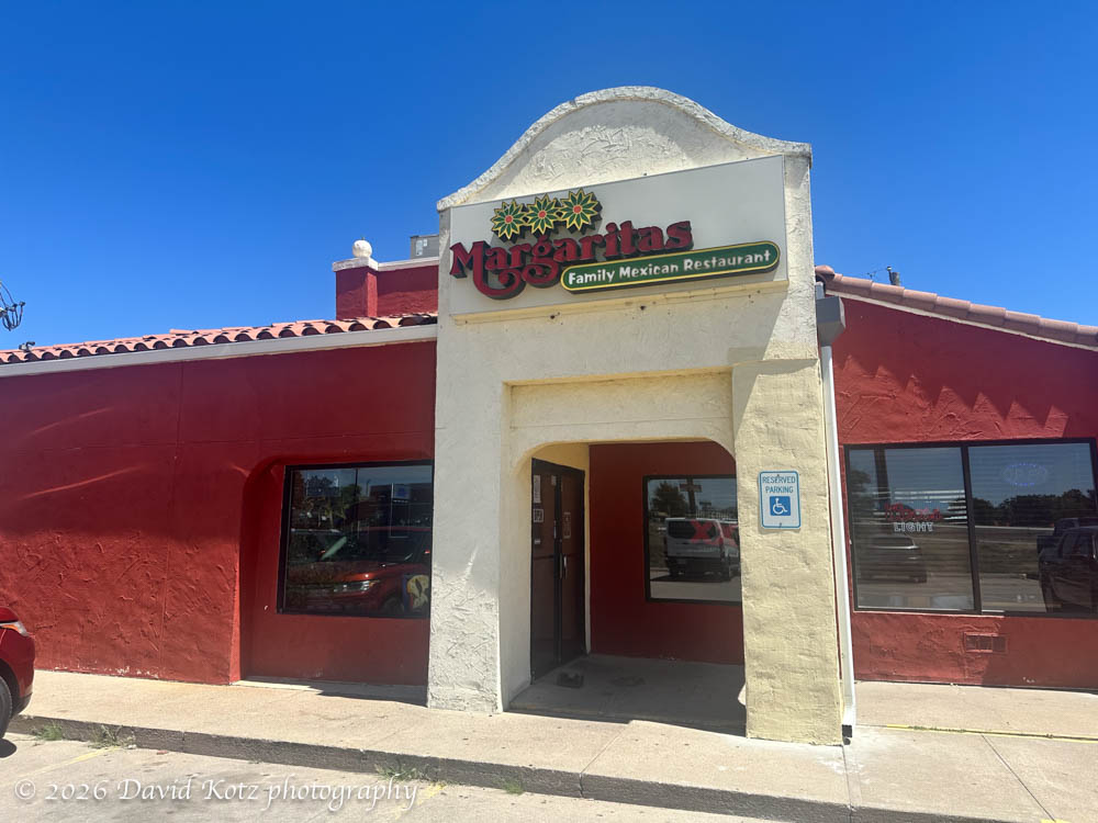
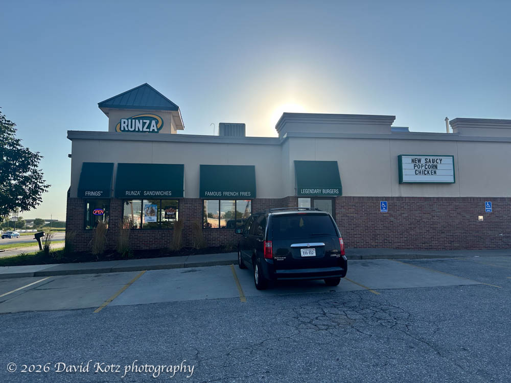
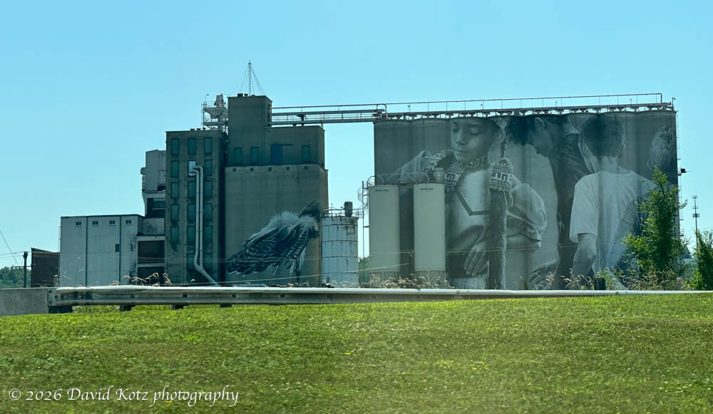
I’d love to do this again, some day – but with 8 weeks, rather than 8 days, to soak it all in. On this trip, we zipped by hundreds of interesting scenes – little moments in time, small tidbits of scenery and Americana, so many of which might have made a great photograph, but which for now have been captured only in my memories. Meanwhile, check out the photo gallery.


When you do this again, and come through Moab, look me up and I can take you on some very cool, off trail hikes. I’ve been hiking with friends here for over 30 years and we’ve found some good ones!
Dave Focardi