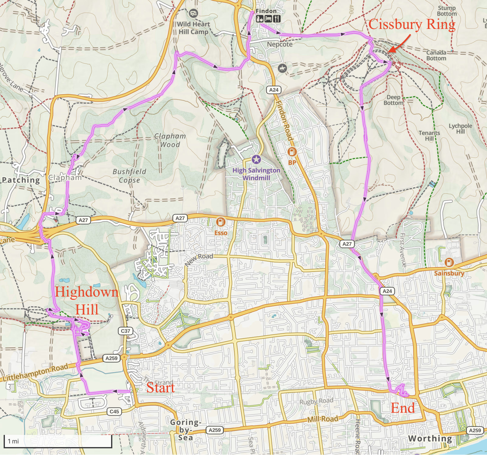
The weather was beautifully clear for my 25th consecutive weekend of hiking, so I decided to head once again for the south coast and do a sort-of loop hike that would take me from a tiny coastal village, up to a hilltop capped by a Bronze-age earthworks that once served as a Saxon fortress; through the pastoral village of Clapham; to lunch in a 13th-century building housing a 17th-century pub, and over the highpoint at Cissbury Ring, a massive earthwork created in 300 BC and used (on and off) as a military asset for more than two thousand years. Read on!
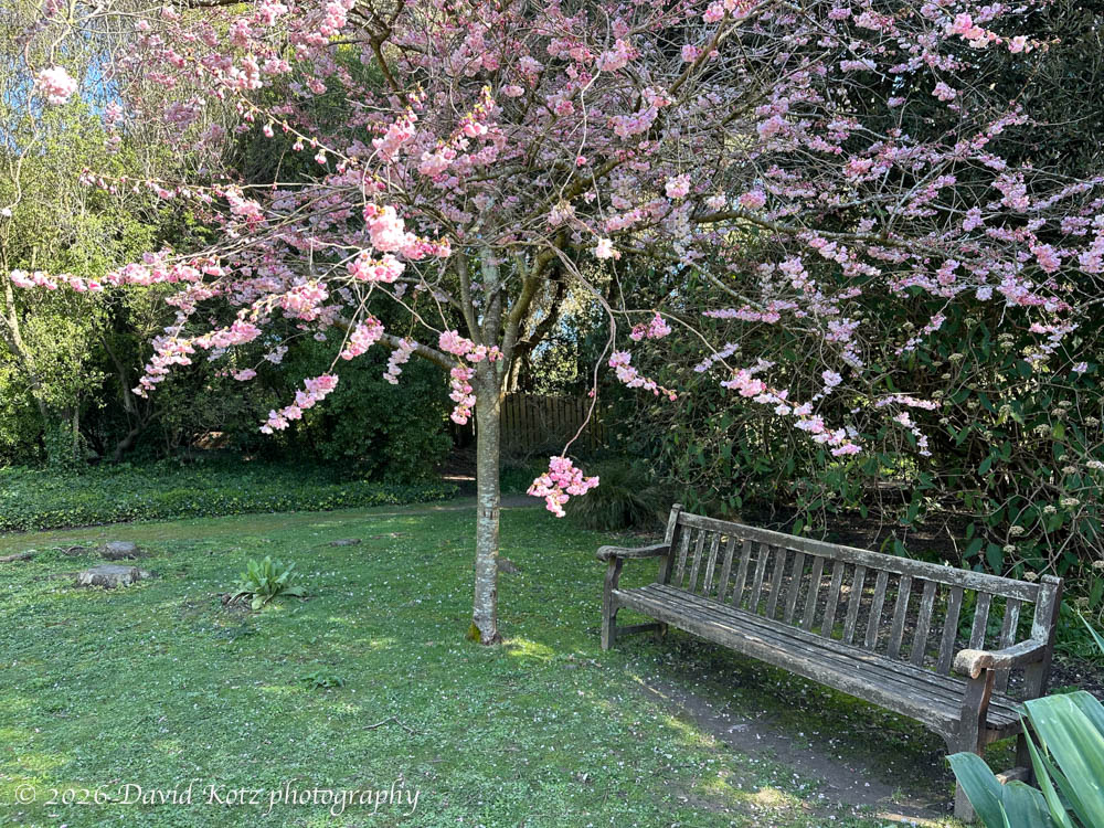
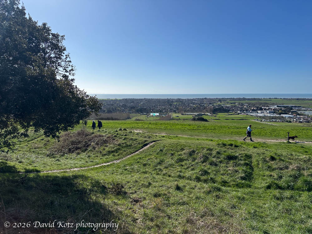
As I stepped off the train in the tiny village of Goring-by-Sea (at which the train arrived after passing through similar tiny seacoast villages Shoreham-by-Sea and Dorrington-on-Sea, emphasizing their coastal location), the skies were clear blue, the air cool, and the seagulls soaring above. My route immediately crossed the road into a muddy farm field, its soil recently turned for spring planting. Soon, though, I was ascending Highdown Hill, a National Trust site with a grassy summit and broad views of the English Channel to the south. I digressed from the route to explore Highdown Gardens, because the guidebook said it was especially beautiful in the early spring (aka now), before topping Highdown Hill.
According to the guidebook, the earthwork ring on Highdown Hill – now barely visible as a rounded berm dotted with a few shrubs and trees and tread only by weekend walkers and their dogs – was once a Saxon fortress in which archaeologists found “a Saxon cemetery,… spearheads, knives, and glass drinking horns.” From here, I descended along muddy trails through the forest and emerged in a farm pasture outside Clapham. Two sheep and a flock of chickens greeted me eagerly, perhaps the only human to pass their way today.
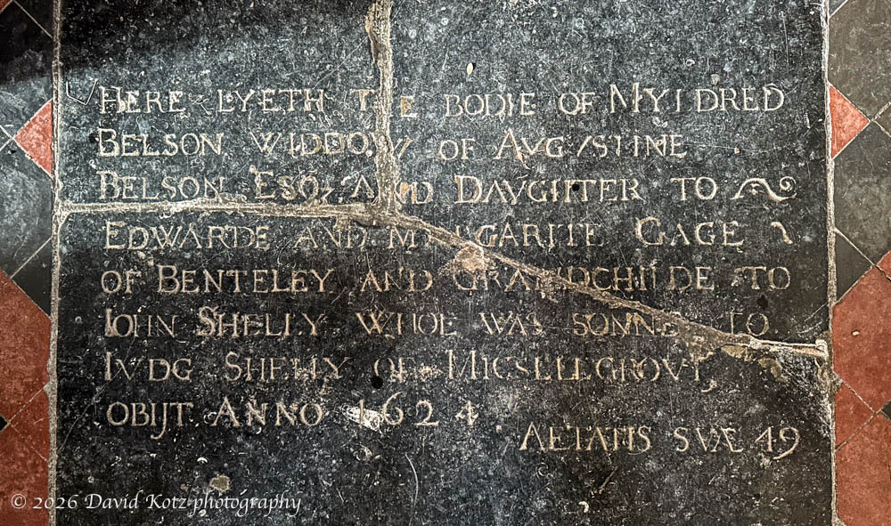
On the other side of Clapham the route passed through the churchyard (indeed, graveyard) surrounding the thirteenth-century flint-walled church of St Mary the Virgin. I enjoyed a few quiet minutes exploring its interior, examining the William Morris tiles over the altar and puzzling to read a 1624 gravestone embedded in the floor. It is well worn, after four hundred years of foot traffic between the pews and the alter. Wow.
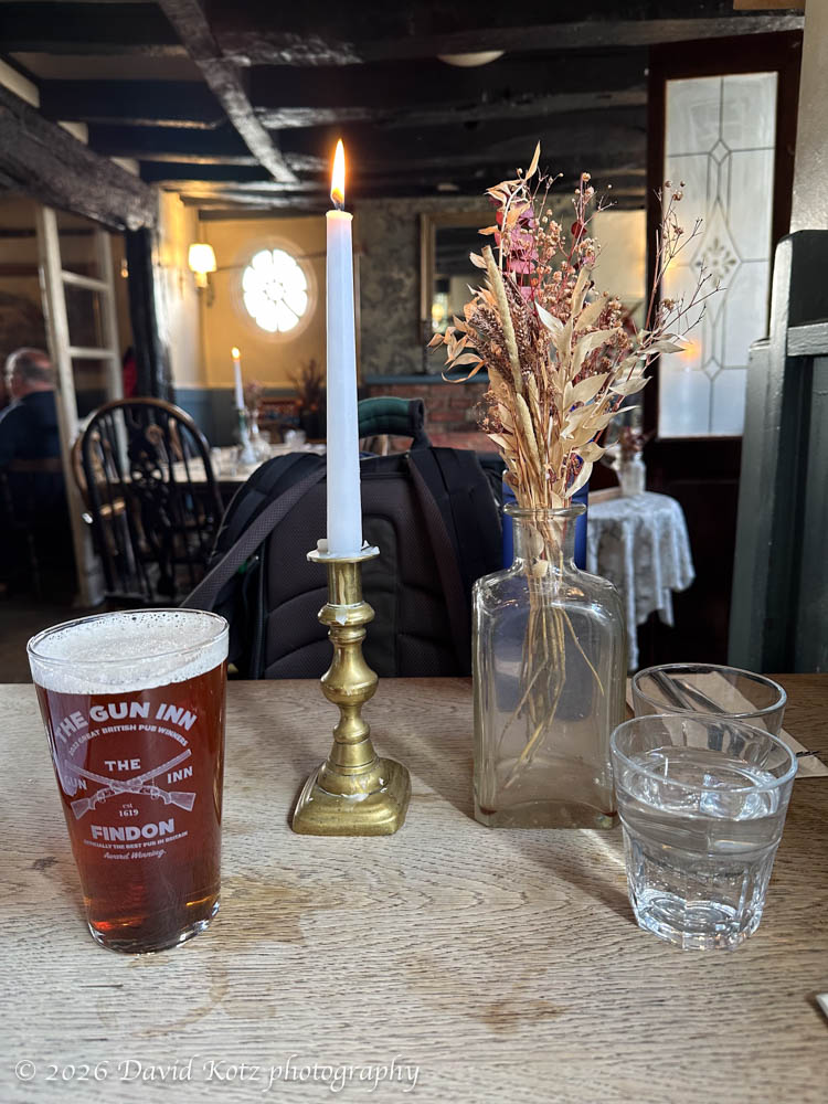
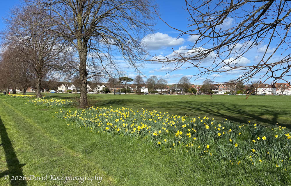
Leaving the church, I passed through a gate in the wall behind the church, across a green field (trying not to arouse the two grazing horses), and through a series of forests and yet more fields, and over open hilltops with expansive views of the rolling, pastoral hills of the South Downs. I was getting hungry, so I was glad to stroll into the center of Findon and tuck behind a candlelit table at The Gun Inn. It has a fantastic menu and authentically delightful atmosphere, its centuries-old timber beams exuding character. Soon I was downing a pint of the local bitters and digging into a trio of venison sausages stacked atop squash purée and sliced greens, drizzled with a delicious sauce. A fine meal indeed, for a guy who entered with a backpack and muddy boots.
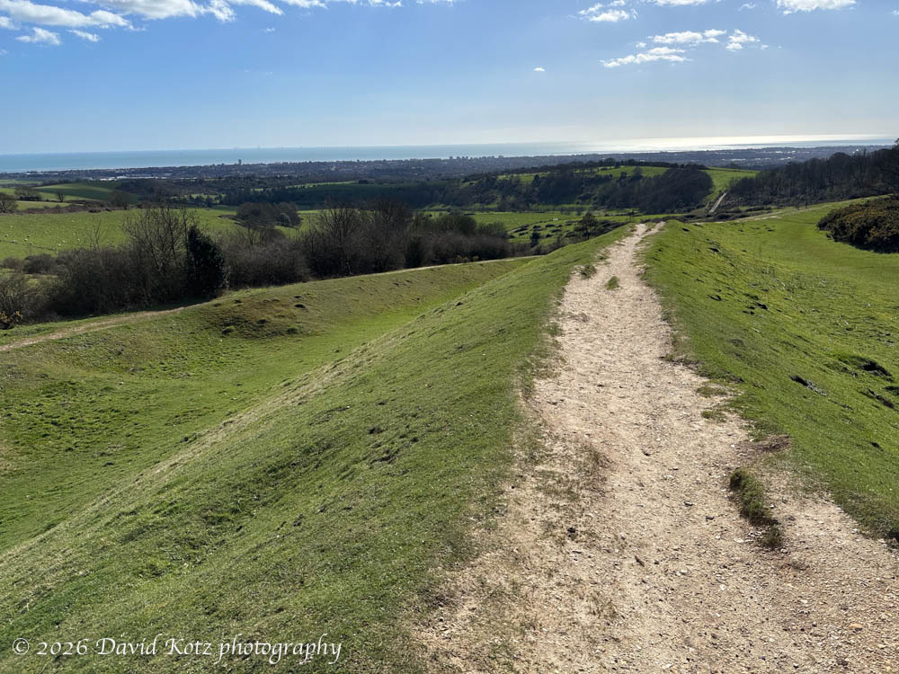
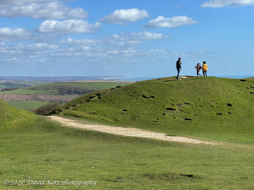
Thus fortified, I headed up a narrow lane, out of the village and beyond its forested edge to reach the broad, grassy slopes of the Cissbury Ring. These massive earthworks (the second largest in England) date back to 300 BC, forming a double berm around the hilltop. The hill provides extensive views up and down the coast; indeed, from here I could see past Brighton to the rolling coastline where I’d enjoyed a glorious hike along the chalk-white cliffs of the Seven Sisters just two weeks ago. This site has an extremely long history, having been used even earlier (as a Stone-age flint mine 3,000 years ago) and very recently “as a camp for the 2nd Argyll and Sutherland Highlanders in preparation for the Normandy landings in 1944″ [Wikipedia]. Indeed, after passing a herd of ponies grazing within the inner ring, I walked through gaps in the ring cut for WWII gun placements.
Side note: the same Wikipedia page notes a dig found “Silver pennies from the reign of Æthelred the Unready (978-1016) [that] can be found at the British Museum.” King Æthelred is one of my ancestors, buried beneath what is now St. Paul’s Cathedral here in London.
From here it was a long slog down a sloping ridgeline into the substantial city of Worthing (on sea), where I was grateful to catch the train home. A long walk, a beautiful day, and lots of interesting history! Be sure to check out the photo gallery (don’t miss the cute sheep video :-).
Hike stats:
Distance: 12.5 miles (20.1km)
Gain: 1,073 feet (327m)
Time: 4h41m (not including lunch)
GaiaGPS track