Iceland – Svartifoss

A beautiful 20-meter free-falling waterfall.

Part of a series of posts about my travel in Iceland, including visits to eleven waterfalls.

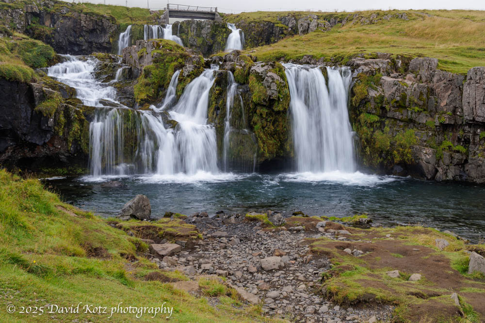
Svartifoss waterfall is impressive, in part for its 20-meter free-fall from the cliffs at the head of a deep gorge.  The horseshoe-shaped wall behind the falls is made of columnar basalt, providing a dark, geometric backdrop to a dazzling chaotic flow of whitewater.   Hundreds – if not thousands – of tourists hike the short trail to these falls, pausing on a low bridge across the stream below the falls, or on a metal platform cantilevered on the cliff off to one side.  Signs ask people not to approach the falls at water level, but with some careful maneuvering I was able to find a spot where I could balance myself on boulders, place my tripod feet in the stream, and get some clear shots.  In the photo below, I include a person on the viewing platform at right; although they are closer than the falls, it provides some sense of scale. Read on…

photo of Svartifoss, with people looking on from a platform
Svartifoss waterfall, southeast Iceland.

See four other photos in the gallery; I recommend slideshow mode!

Continue reading “Iceland – Svartifoss”

Iceland – Kirjufellfoss

First in a series of waterfalls from Iceland.


Part of a series of posts about my travel in Iceland, including visits to eleven waterfalls. Iceland is a magical place for anyone who loves waterfalls.  The steep terrain, birthed from volcanoes and shaped by glaciers, leads to steep slopes and differential weathering that creates massive cliffs and deep gorges.  Plentiful rain and glacial meltwater result in massive water flow that leaves visitors with a sense of wonder – and soaking wet clothes.  For each the next 10 days I will share photographs from one of the eleven waterfalls visited on this trip.  

I’m sneaking Kirkjufellfoss into my post-Greenland posts, although we actually visited it ten days earlier at the beginning of the cruise to Greenland.  We spent a cloudy morning visiting these falls and walking a gravel path back to town, where our ship was docked.  These falls, near the Kirkjufell volcano on the Snæfellnes Peninsula, are a favorite subject of photographers. (Mount Kirkjufell is often noted as the ‘most photographed mountain in Iceland.’) As with many of Iceland’s waterfalls, it is particularly challenging to capture this beautiful waterfall without a lot of people in the shot.  In this case, the pathway for visitors literally passes above the falls on a low bridge across the stream, meaning any upstream shot inclusive of the whole cascade is bound to include the bridge and, today, several other tourists.  Patience, and careful composition, led me to some decent shots. Read on…

photo of Kirkjufellfoss waterfall, Iceland.
Kirkjufellfoss waterfall, Iceland.
Continue reading “Iceland – Kirjufellfoss”

Iceland – Diamond Beach

Massive glaciers spill ice into a tidal lagoon – ice that washes ashore on a black-sand beach. Spectacular!


Part of a series of posts about my travel in Iceland, including visits to eleven waterfalls.

Although the trigger for this visit to Iceland was to board the National Geographic Endurance for an expedition cruise to southern Greenland, photography was the focus of my extended stay in Iceland.  This post highlights photos from my first stop in Iceland: Jökulsárlón (aka Glacier Lagoon) and its adjacent Diamond Beach.   While I’m at it, Fjallsárlón lagoon is just down the road and offers equally enthralling scene of an adjacent glacier calving bergs and berglets into a tidal lagoon.  Read on to see photos!

diagram of Jökulsárlón and how its bergs flow out to sea and onto Diamond Beach
Sign with diagram of Jökulsárlón (aka Glacier Lagoon) and its adjacent Diamond Beach, Iceland.
Continue reading “Iceland – Diamond Beach”

Iceland – Fjaörárgljufur

A spectacular gorge with a pretty waterfall at its head.

Part of a series of posts about my travel in Iceland, including visits to eleven waterfalls.

Although Fjaörárgljufur ravine includes several beautiful cascades, it is best known for its deep and spectacular gorge.  When I visited, on the afternoon of my first day, it was teeming with other visitors who hiked the trail on the high terrain for its various views across and down into the gorge.  The trail ends at a precarious viewing platform overlooking Mögárfoss, a tall waterfall at the head of the ravine. Read on…

Mögárfoss waterfall in Fjaörárgljufur gorge, southern Iceland.
Continue reading “Iceland – Fjaörárgljufur”

Revisiting Iceland

A few days of solo travel after Greenland allowed me to visit more of Iceland.

When I left Iceland last summer, after a wonderful family trip, I never expected to be returning so soon.  But, I had the opportunity to cruise southern Greenland with Lindblad National Geographic Expeditions, this summer – and that trip began and ended in Reykjavik, capital of Iceland.  I thus found myself back in Reykjavik barely a year later, at the height of the tourist season, with plans to explore the southeast coast (whereas last year we focused on the Golden Circle and the Westfjords).  In a series of posts, I’ll share highlights from a brief exploration of Reykjavik prior to our Greenland cruise; a cruise stop at Kirkufellfoss in western Iceland; and my drive around the Ring Road as far as the Glacier Lagoon (380km), and back past more than a dozen incredible waterfalls.   This first post is a bit of an introduction. Photography was the focus of my trip, so I’ll share many photos. Read on for more!

Scenery along the Ring Road, showing a barn, a steep cliffside, and a waterfall on the cliff.
Scenery along the Ring Road, southeastern Iceland.
Continue reading “Revisiting Iceland”

Greenland wrap-up

With link to complete photo gallery.

This ends my series of posts (beginning here) about our trip to southern Greenland.  I found it to be a beautiful, fascinating place.  For convenience, I’ve gathered all the photos and videos in one chronological gallery. Although I feel like we saw a lot, we just scratched the surface – only in the deep south, and only on the coastline.  The northern regions, and the interior, are a dramatically different place.  Maybe I’ll be able to return someday!

Map of our voyage
Map of our voyage from Reykjavik Iceland (at right),
just before we reached Kangerlussuaq Greenland (at left).

Greenland – contemporary human settlements

Visits to small villages and bustling towns… but we missed out on the capital (Nuuk).

[part of a series of posts beginning here]

In addition the expedition staff, two Greenlanders joined us for the entire cruise: an Inuk cultural ambassador, and a businesswoman born in Iceland but descended from Greenlandic grandparents and whose career includes service as an elected council member in the capital city of Nuuk.  From listening to their formal presentations and from informal conversations, we had an opportunity to learn more about the indigenous traditions as well as modern Greenlandic culture and politics.  We also had the opportunity to visit contemporary communities – two tiny settlements and a large town. Read on for more!

Qaqortok harbor, Greenland.
Continue reading “Greenland – contemporary human settlements”

Greenland – historic human settlements

We visited ruins and reconstructions of historic indigenous and Norse settlements dating back more than 1,000 years.

[part of a series of posts beginning here]

As we cruised the fjords on the southwest coast of Greenland, we had several opportunities to learn about the cultures of Greenland – historic and contemporary – and to visit archaeological sites, small villages, and busy towns. This post focuses on two historic settlements, each now recognized as a UNESCO world heritage site. Read on for more…

Ruins of the church at Hvalsey – historic Norse village – Qaqortoq Fjord, Greenland.
Continue reading “Greenland – historic human settlements”

Greenland – hiking

We took several hikes in the Greenland wilderness.

[part of a series of posts beginning here]

One might imagine becoming stir crazy during ten days aboard ship.   Fortunately, the expedition team offered many opportunities to go ashore!  Nearly every day they would offer short, medium, and long walks.  Some were billed as a ‘photo walk,’ accompanied by the ship’s photo experts; others were focused on interpretation of the ecology or history; still others were pointedly called a ‘strenuous hike’ for which exercise was the goal and there would be no time to stop for photos or natural-history lessons.  We were fortunate with good weather – sometimes fantastic weather – so I had the opportunity to hike at Dronning Marie Dal (in Skjoldungensund), at the outlet of the Sermeq glacier (at the head of Tasermiut fjord), around the Hvalsey historic site, around the village of Qassiarsuk, and in the tundra above Neria fjord.   The scenery was dramatic, and varied tremendously from place to place. Read on for more!

Dronning Marie Dal – a glacial stream valley at the head of Skjoldungensund fjord, Greenland.
Continue reading “Greenland – hiking”

Greenland – glaciers & ice

Up close and personal with glaciers and their offspring.

[part of a series of posts beginning here]

It’s hard to imagine the size of Greenland, or its ice cap.  Even those glaciers that flow down to the sea, like the Thryms glacier below, are truly massive.   (Notice our ship, the National Geographic Endurance, at lower left!) Read on for more about our outings among the ice, including video…

The NG Endurance near Thryms glacier; Skjoldungensund fjord, Greenland.
Continue reading “Greenland – glaciers & ice”