
It seemed odd to climb to an elevation of over 5,200′ in search of a mountain whose elevation is only 4,003′ (1220m), just barely earning it membership in the White Mountains’ fabled set of “four thousand footers.” But Mount Isolation, our diminutive goal for the day, is, well, isolated. There are no direct routes to its summit, a slight prominence along the lengthy Montalban Ridge sloping southeast from the shoulder of Mount Washington. But as we climbed above treeline into the extended alpine landscape surrounding Mount Washington, we were glad to have chosen this route. Read on, and check out the gallery!
We’d kept an eye on the weather all week. Although I had considered doing this hike a week earlier, the guidebook noted there were four stream crossings that are “difficult, possibly dangerous, in high water” and it seemed unwise to attempt such a trail two days after passage of Tropical Storm Debby. This week was dry, and the forecast showed little chance of rain. On Friday, however, wildfire smoke from western Canada settled in over New Hampshire. I expected hazy views and overcast skies. The conditions turned out to be more complicated!
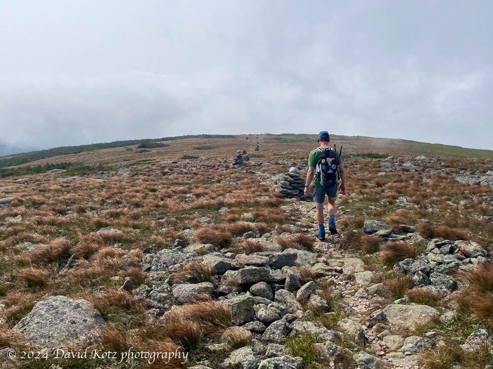
When we left the trailhead at 8am, we were ensconced in valley fog. Hoping to climb above the fog, we chugged our way up the steep Glen Boulder trail, a sustained climb of several thousand feet in just a couple of miles. Although strenuous, it allowed us to reach treeline remarkably early, and our spirits rose as we started to glimpse the peaks of the Wildcat Range on the other side of the valley, behind us, just above the valley fog. We started seeing blue sky and emerged into the sunshine – with views of Mount Washington muted by the atmospheric wildfire smoke.
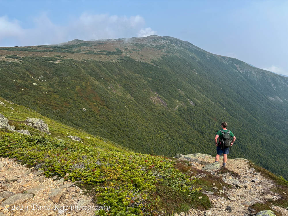
We passed the famous Glen Boulder, a massive erratic boulder perched on the ridgeline and visible from afar. Soon we were winding our way through patches of blueberry (delish!) and cranberry (which need another month to ripen) and into the treeless terrain above five thousand feet. We grumbled a bit, as this climb was unnecessary to achieve our goal – look at the map, and you’ll see a ‘V’ where we climb up, up, up, only to take a sharp left turn back downhill. We resisted the urge to short-cut across the open alpine terrain, trampling the fragile vegetation.
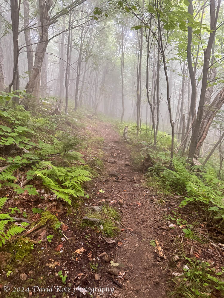
Nonetheless, the views – and the experience of high alpine terrain – were worth the climb. We descended more than a thousand feet, along the historic Davis Path that follows Montalban Ridge – back into the forest, back into the fog, never to emerge from either for the rest of the hike. I’m glad we had the chance to climb high, early in the day!

The Davis Path and Isolation Trail are incredibly muddy, rocky, and wet. We finally emerged onto the summit of Mount Isolation – which purportedly offers panoramic views of the Southern Presidential Range to the west – to find ourselves on a rocky summit surrounded by fog. Sigh. We were nonetheless grateful to have reached our goal, to rest our muddy legs, and to munch our lunch. We had not yet finished half the mileage for the day! (We had completed 5.7 out of 12.0 miles.)


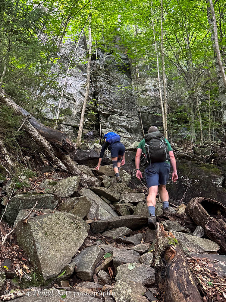
The trip out was remarkably grueling, because three miles of the Isolation Trail and Rocky Branch Trail are, essentially, like rock-hopping down (and then up!) small streams. And it was not all downhill – several long sections are uphill, like the one shown at right. What’s more, the route is far from direct, requiring two more sharp ‘V’ turns that just cry out for a bushwhack shortcut. We opted for one short bushwhack through dense moose country, seeing fresh tracks and scats but no moose.
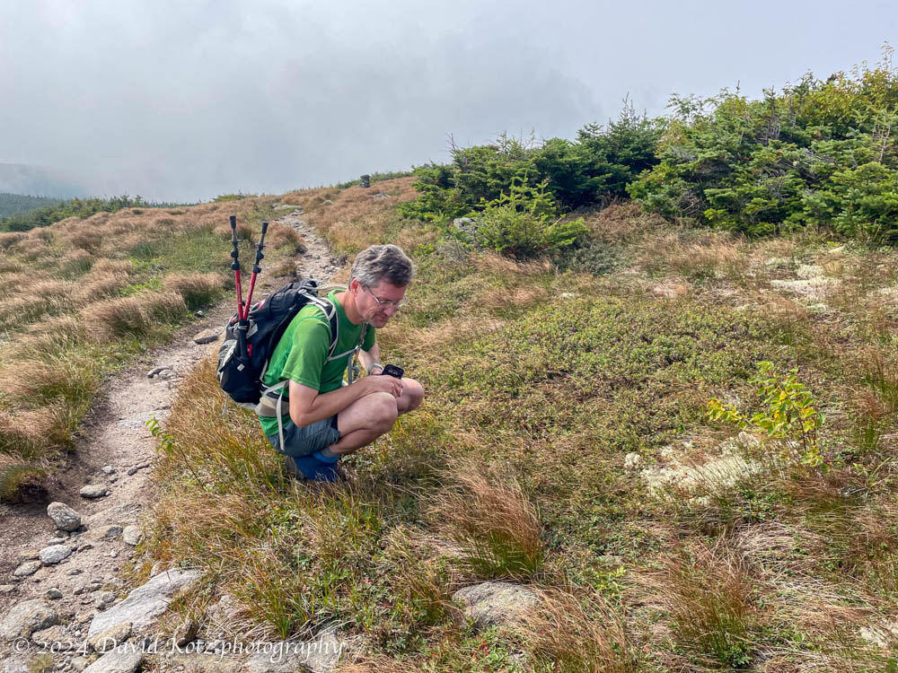
The stream crossings – which worried me so much last weekend – turned out to be easy rock-hops across pleasant brooks that begged me to pause, mid-stream, to capture photographs. (I include several in the gallery.)

We finally reached the height of land before the final descent. At 3,000′, we were thoroughly in the fog; indeed, the fog, clouds and smoke above us were so dense that the forest became quite dark and eery; it felt more like late evening than mid-afternoon.
After a steep, seemingly endless downhill we arrived at the trailhead. We were sore, muddy, and grateful to have enjoyed a challenging but rewarding hike. Please enjoy the photo gallery!
Hike stats:
Distance: 12.0 miles (19.3km)
Time: 8h10m, including stops
Gain: 3,667′ (1118m)


Looks like a fun, and challenging hike. That mud! Congrats on 47×2! Did you road walk or drop a car? Did you stop with your tripod in the river or just handhold it very carefully?
We dropped a car – the trailheads are remarkably far apart. After 12 miles, we were grateful to stop walking! For the stream photos, I use my iPhone 14 Pro in “Live photo” mode, then tap “Long exposure” to get that smooth-water effect. Not as good as a proper camera on a tripod, but a heck of a lot lighter! The tricky bit is squatting on a rock, mid-stream, while holding the phone still for 5 seconds.