Carrigain: 48 over 48

Completing my second round of the NH48 – all done over the age of 48.

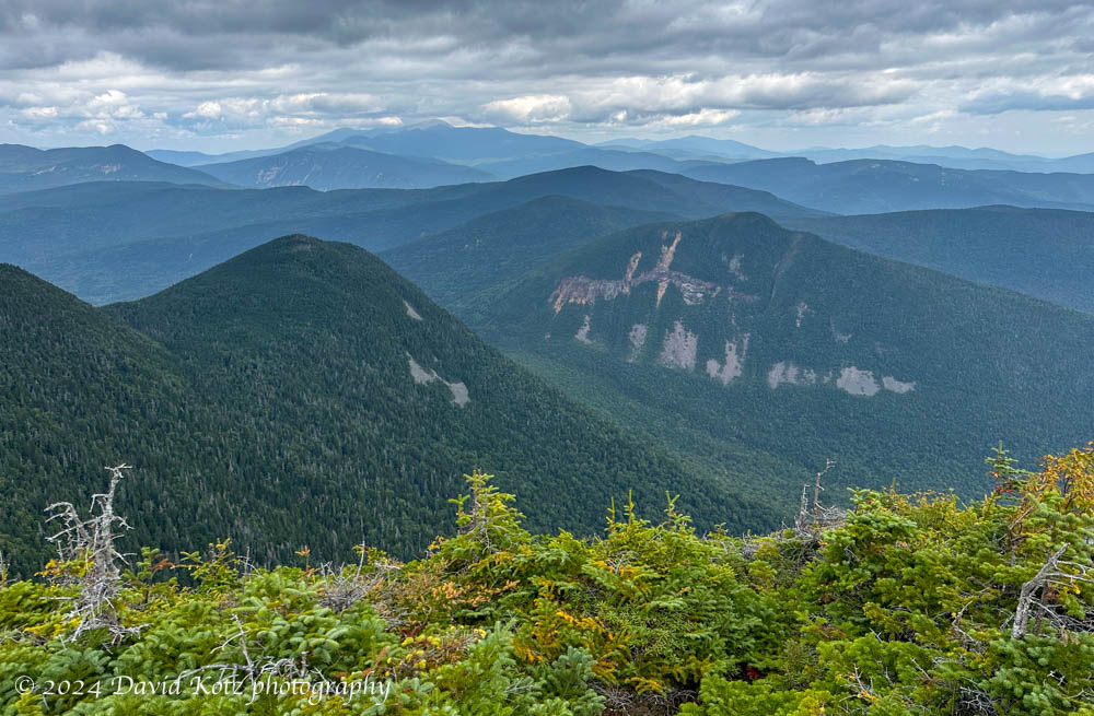
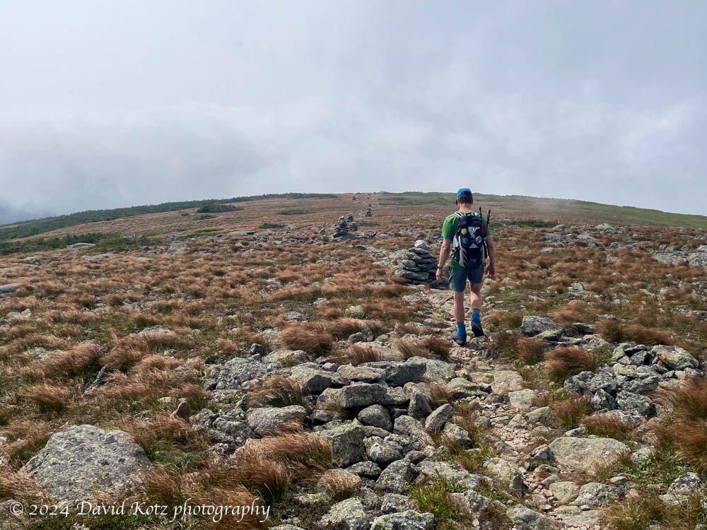
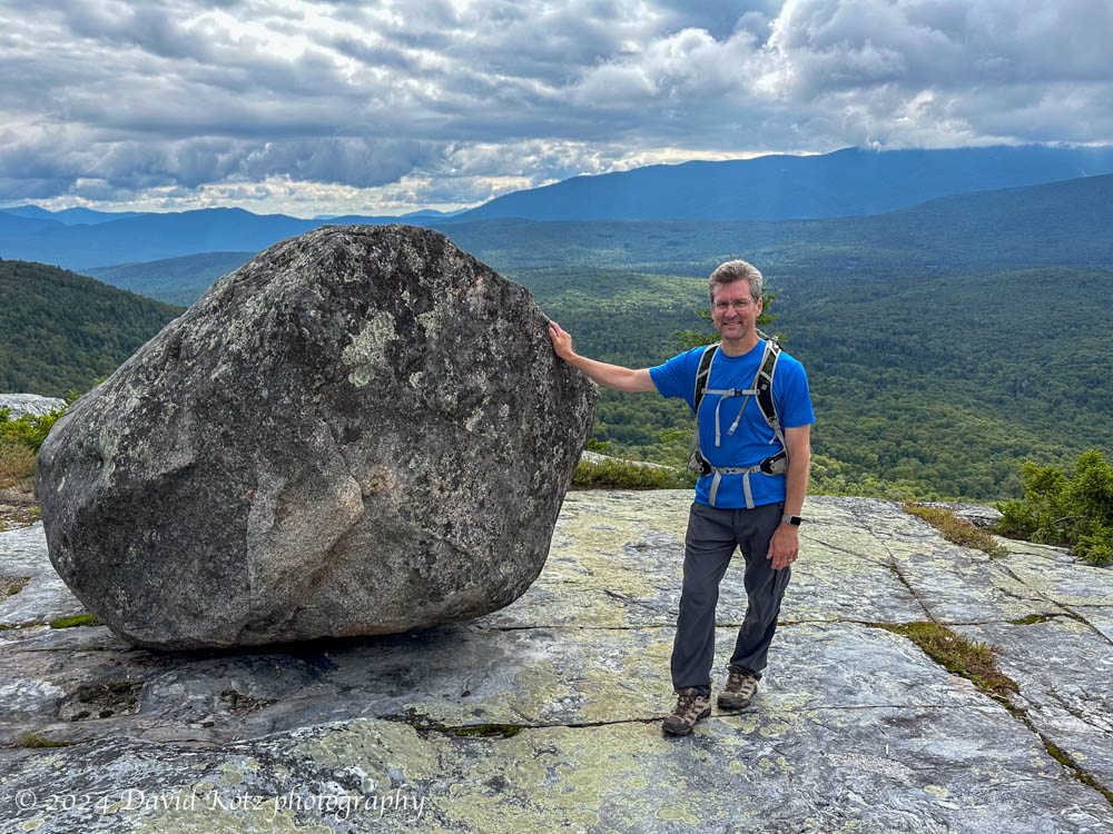
I saved Mount Carrigain for last.

In 2014, shortly after skiing and snowshoeing to the summit of Owl’s Head – one of the peaks in the NH48 (a list of 48 peaks in the White Mountains of New Hampshire whose elevation exceeds 4,000 feet) – I realized that it might be worth hiking all the mountains on that list again. I could aim to complete what I call the “48 over 48”, that is, to hike all 48 peaks on the NH48 list, over the age of 48. After all, I had just completed the most notoriously inconvenient and unrewarding peaks on the list! So why not do all the rest? Read on!

First views from the Signal Ridge Trail on Mount Carrigan – with Carrigain Notch below, and the Presidential Range in the distance left of center.
Continue reading “Carrigain: 48 over 48”

Wildlife camera – July

July edition of captures from my wildlife cameras in the forests of Lyme. Squirrel, bear, deer, and raccoons.

July was a quiet month for my wildlife cameras – but resulted in some interesting video captures! Mid-month I shared the fun close-up view of a black bear, who used my camera as a back-scratcher. Now, I share a video compendium… a cute squirrel grooming himself, a busy raccoon moving through the woods overnight, a black bear that gets frighteningly close, a series of deer (including a young buck), and a pair of mischievous raccoons!

Mount Isolation

A rugged hike to an isolated member of the NH four-thousand-foot mountains, on a smoky, foggy day.

It seemed odd to climb to an elevation of over 5,200′ in search of a mountain whose elevation is only 4,003′ (1220m), just barely earning it membership in the White Mountains’ fabled set of “four thousand footers.” But Mount Isolation, our diminutive goal for the day, is, well, isolated. There are no direct routes to its summit, a slight prominence along the lengthy Montalban Ridge sloping southeast from the shoulder of Mount Washington. But as we climbed above treeline into the extended alpine landscape surrounding Mount Washington, we were glad to have chosen this route. Read on, and check out the gallery!

David hiikes down the Davis Path toward Mount Isolation. Photo by Jon Kull.
Continue reading “Mount Isolation”

Black Mountain

Sharing a favorite hike with a friend.

After the passage of Tropical Storm Debby (which fortunately only brought us a few hours of heavy rain), the weather turned sunny and dry. Perfect for a hike! I selected Black Mountain, one of my favorite go-to hikes, to share with a friend who is still discovering the many hiking opportunities of the Upper Valley and New Hampshire. Although the sky was partly cloudy, Black Mountain’s relatively low elevation allowed us outstanding views across the Upper Valley (to the west) and into the White Mountains (to the east). And I re-discovered the “tipping rock” I’d seen on my first visit here in October 2010 (10/10/10). Check out the gallery!

The ‘teetering rock’, on Black Mountain, with Mount Moosilauke in the background.

Hike stats:
Distance: 3.75mi (6.0 km), including a side trip to the historic Lime Kiln.
Time: 2h56 (including a long rest on the summit)
Elevation gain: 1,599′ (487m)

Trailhead at lower left, summit at right. Out and back;
on the way out, we made a side-trip to the Lime Kiln on the dirt road