
As I sat in my car waiting for the rain to let up, while parked far up a remote dirt road in northern New Hampshire, I read again the description of the trail I was about to follow. It was quite steep, apparently, but this small peak promised strong views in almost every direction. Read on and check out the photo gallery!
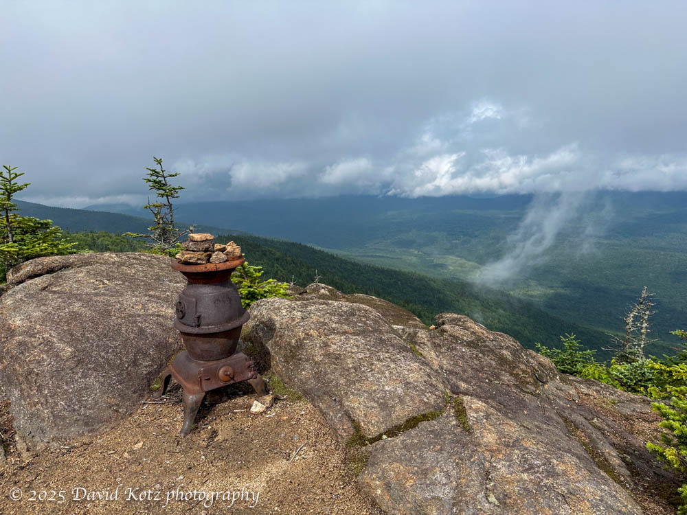
There are many mountains named Sugarloaf, apparently because many mountains look like the historic shape of a loaf of sugar. This particular “Sugarloaf“, located in the Nash Stream Forest in far northern New Hampshire, is known for its wide-ranging views of the North Country of New Hampshire, Vermont, and Maine – and the nearby rolling hills of southern Quebec, just across the Canadian border a scant few miles further north. I was in the area, nearly three hours drive from home, for another event… and picked this peak off the list of the “52 with a view“, a delightful list of small NH peaks I’ve been slowly working to visit.
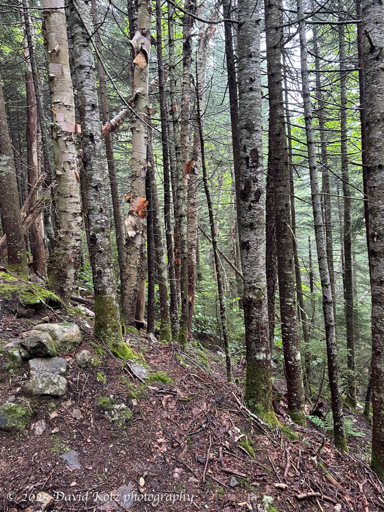
Shortly after the rain dissipated, as forecast, I was striding up the steep trail. Although this trail was apparently built originally as an access road for a fire tower atop the peak, it made no effort to moderate the grade. Indeed, on this hot and humid summer afternoon, my calves burned and my arms dribbled with sweat as I struggled up the hill. The wet trail was slippery in spots, but it was so steep (“how steep was it??”) that the tightly-spaced contour lines provided extra traction and handholds. 🙂
Every 50m, it seemed, was a pile of moose scat. I kept hoping (and fearing) to see a moose in the trail in front of me. Never did.

The weather shifted dramatically as I climbed. A stiff breeze brought in a cold front and pushed away the hot/humid air, leaving me feeling chilly but relieved. At the summit, low clouds still clung to nearby summits, blocking any views of the more distant (and dramatic) peaks in the White Mountains of New Hampshire or of western Maine. Sigh. It was beautiful, nonetheless. I’ll have to come back! Meanwhile, check out the gallery.
Hike stats:
Distance: 4.1 miles (6.6km)
Time: 2h16m including stops
Gain: 2086′ (636m)


So, the potbelly stove….is a traditional New England mountaintop tradition with which I’m unfamiliar? Regardless – thanks for the pics and inspiration!