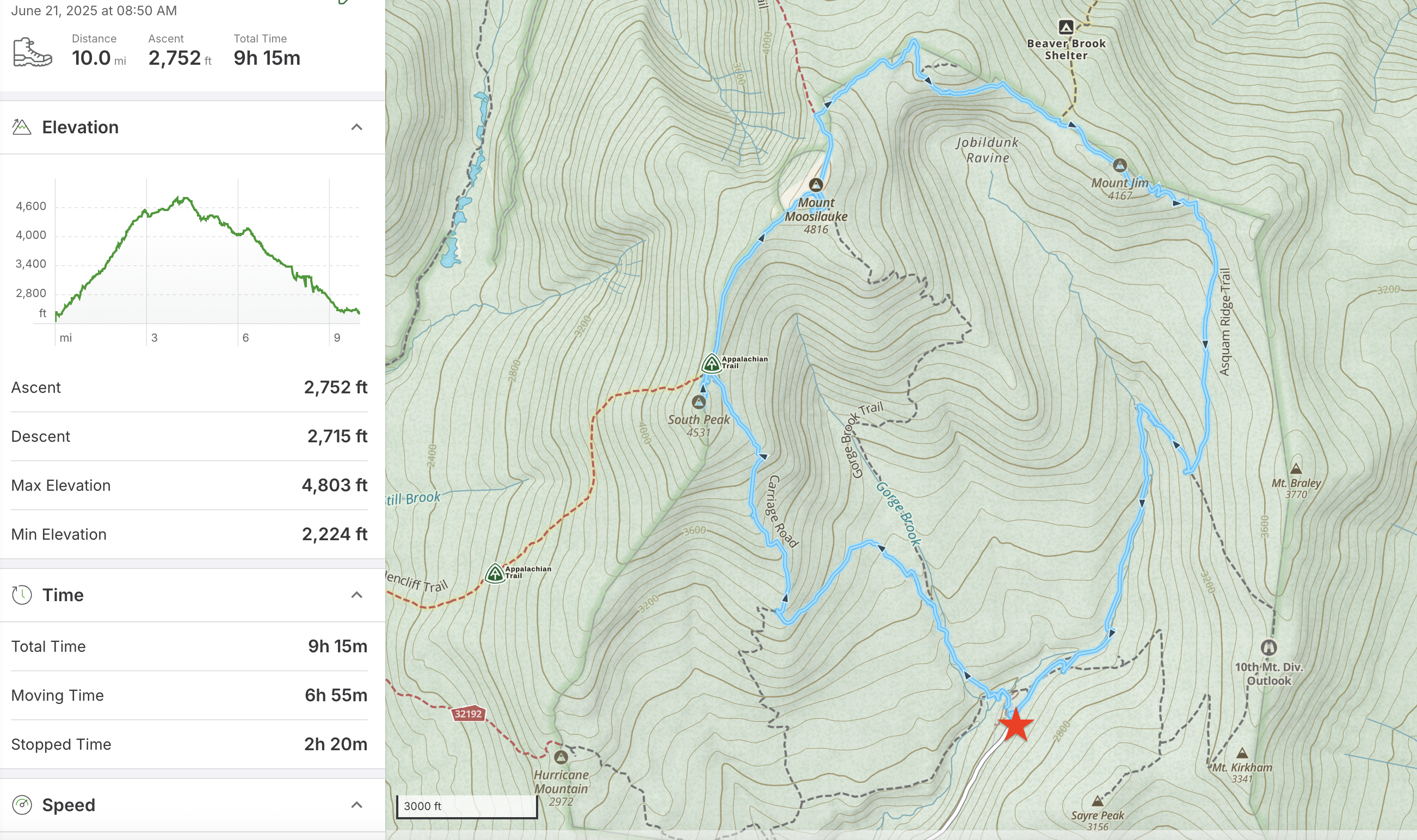
It’s always a pleasure to return to Mount Moosilauke, and especially to Moosilauke Ravine Lodge. One of my best friends – from our student days in the Dartmouth Outing Club – was visiting from Australia. I joined a group of common friends at the Lodge on Friday evening for dinner and conversation. The evening was cool and the skies were clear as we watched the first stars appear in the late twilight of summer solstice. This morning, we stoked up on a hearty Lodge breakfast before striking out on the Gorge Brook trail for our ascent to the summit. The skies were sunny, with a light breeze and mild temperatures, a perfect day for a hike. Read on!
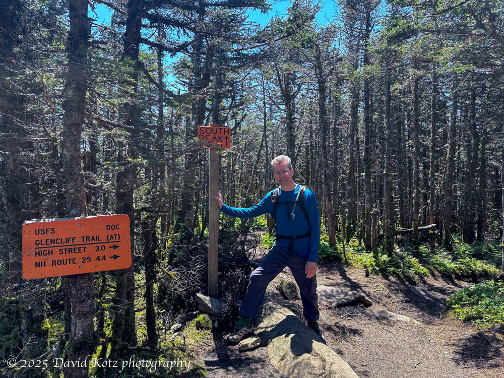
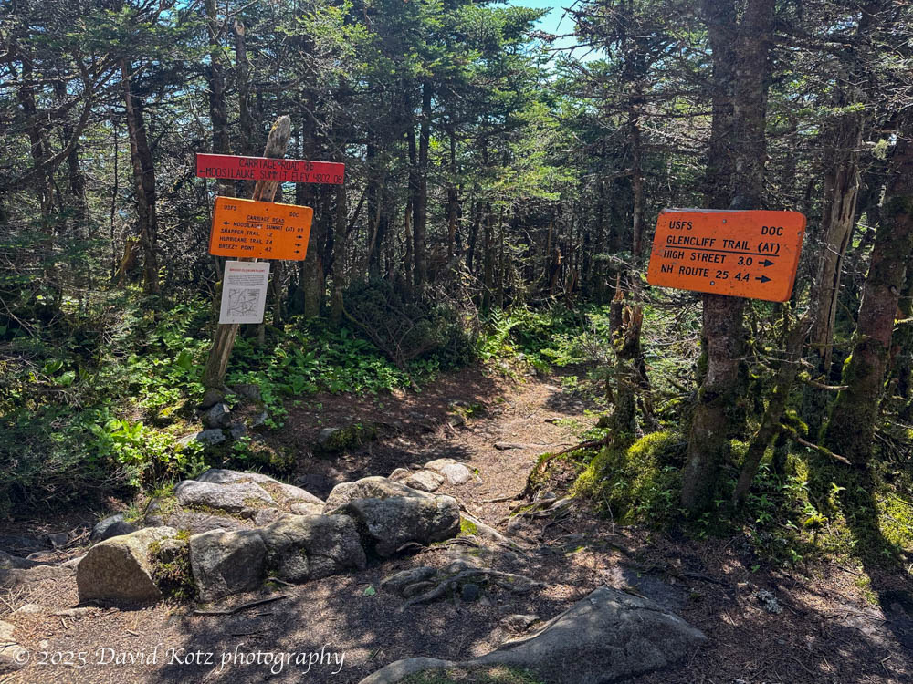
The miles rolled by as we ascended Gorge Brook, hung a left on the Snapper Trail, then a right on the Carriage Road. Before long we had reached the junction with the Glencliff trail, where both meet the ridge between the South and North peaks of Moosilauke. At this point I had flashbacks to my February ascent of the Glencliff trail, four months ago tomorrow, when the snow was so deep I literally had to crawl because the snow’s surface was nearly touching the overhanging trees. Wow! what a contrast with today. Compare the left and right in each pair of photos below:

six feet (2m) from the ground!

After a short jaunt to the South Peak for lunch and some hazy views to the west and southwest, two of our group turned back while Catherine and I forged ahead. We strode quickly across the Carriage Road – instead of crawling on a deep snowpack, as I had in February. Along the way, we met the Floki, the amazing cat who (four years ago) climbed all 48 of New Hampshire’s highest peaks! Today, Floki was getting a ride in a backpack:

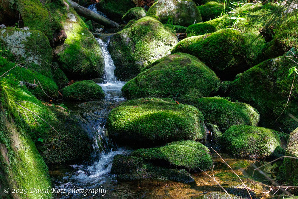
The summit was busy with other hikers, but the views were expansive and the breeze was gentle. We refilled our water bottles at Talmadge Spring and headed north along the ridge along the Beaver Brook Trail. (As a result, I just realized, we managed to hike the entire Moosilauke ridgeline from south to north!) We swung right where the Benton Trail drops down to the left, and rolled our way down and up toward Mount Blue. We were tired now, but glad to see the junction with the Ridge Trail, then over the hump of Mount Jim and then down, down, down to the Baker River. We had to dodge numerous blowdowns left behind by winter ice storms, which became quite tedious.
Ten miles in nine-plus hours, a long day by any count. We gratefully rolled into the Lodge just before dinner, where new friends awaited. Yet another fine day on Mount Moosilauke!

Hike stats:
Distance: 10.0 miles (16.1km)
Time: 9h15m
Gain: 2752′ (839m)
This clockwise hike starts and ends at the red star, Moosilauke Ravine Lodge.