I was delighted to again have the opportunity to spend a week in Aspen, Colorado, at a small workshop hosted by the American Academy of Arts & Sciences (AAA&S) for leaders in higher education. It was a fascinating workshop, this year – as you might imagine, given the impact of federal actions may have on the future of higher education in this country – but in this blog I will focus on my outdoor activities while in Aspen. Read on!
Last year was my first visit to Aspen, and it was delightful. While there I took the opportunity to climb Aspen Mountain, noting it was a “steep climb at high altitude, with outrageous views”, and to explore extensively around the valley of the Maroon Bells on a beautiful summer’s day. This year, I had less time to spare, but still managed to get out and enjoy three hikes. Here’s a bit about each one; check out the gallery for more photos.
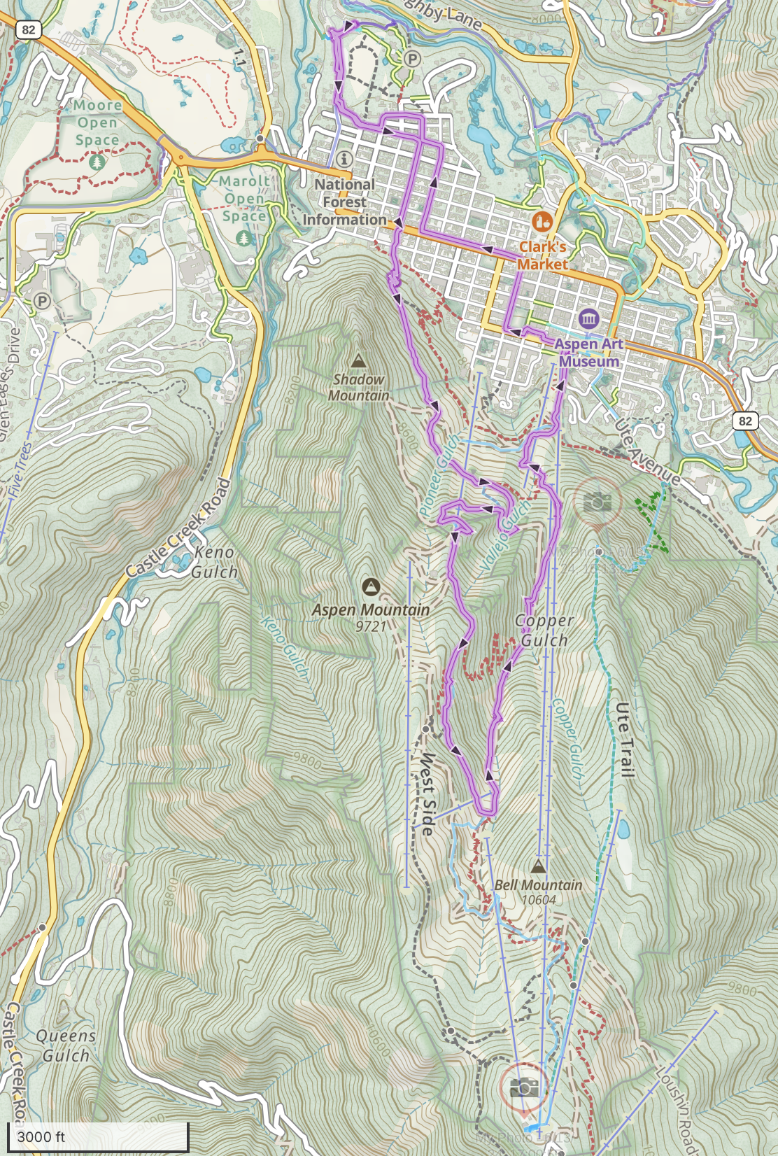
Aspen Mountain to 10,000′
The conference provides a few hours of free time every afternoon. On the first day, I had neither the time nor the conditioning to climb to the summit of 11,270’ Aspen Mountain (3435m), but nonetheless wanted to push myself. Taking advantage of Aspen’s incredible network of free e-bikes, I rode to the trailhead, hiked up to 10,000′ and back down, and rode back to the hotel, all in time for dinner. Hard work! I realized later I was carrying a 16.4lb (7.4kg) backpack, due to all the camera equipment.

See more photos starting here.
Hike stats (including biking to/from the trailhead)
Distance: 7.25mi (11.7km)
Time: 2h39
Gain: 2,202′ (671m)
In the map below, the starting/ending point is in the upper-left; I rode a bikeshare bike to the trailhead at the edge of the street network on the slopes below Shadow Mountain; climbed trails and ski slopes to reach 10,000′ elevation, then descended Copper Gulch to the center of Aspen, where I picked up another bikeshare bike and rode back to the hotel at upper left. Last year’s destination (the summit) is shown with a camera icon at bottom.
Red Mountain, Aspen
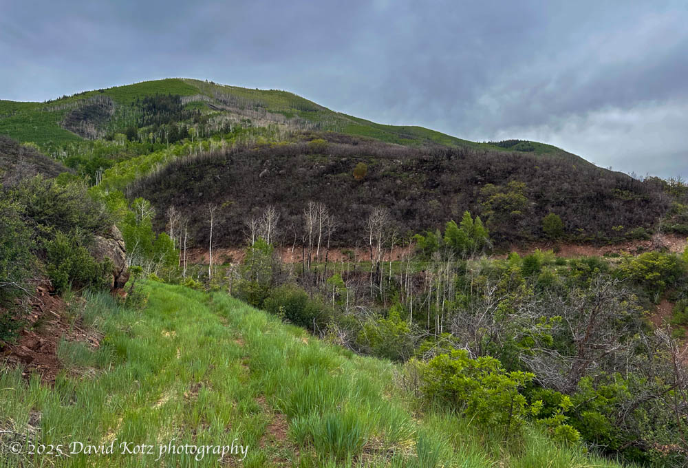
The next day, I wanted to visit somewhere new and perhaps something a little less ambitious. I turned myself around and climbed the hill on the opposite side of the valley – Red Mountain. Lower than Aspen Mountain, it has a nice trail network. Unfortunately, the only reasonable routes to the summit involved a 13-14 mile loop or out-and-back, and for me that is an all-day affair. I decided to climb the “Sunnyside” trail until I ran out of time or energy, then turn back. Halfway up, though, I discovered an aqueduct – really, a pipeline – that carries water from the Hunter Valley across the slopes of Red Mountain, following the contour.
I studied the map; it appeared I could follow it all the way to Hunter Creek, and then make a loop back down to the valley. This was a great choice, because the pipeline was a nearly-flat grassy trail with open views the entire way; Hunter Creek was roaring with snowmelt; and the home stretch involved a bike path back along the Roaring Fork River.
I was startled when I came across scrubby terrain that was scarred by recent fire. Later, searching online, I learned it was the result of a prescribed burn less than two months earlier [more].
See more photos starting here.
Hike stats:
Distance: 7.34 miles (11.8km)
Time: 2h45m
Gain: 859′ (262m)
In the map below, the starting/ending point is at the red star in the center of the image. I hiked this loop clockwise, starting by following the Roaring Fork River northwest, then followed the Sunnyside trail up the steep slope of Red Mountain. I traversed the pipeline from west to east, following the contour, until I reached a neighborhood at Hunter Valley at right; descended to Hunter Creek, and followed it downstream to Roaring Fork River. Then I followed the bike path along the river back to my starting point.

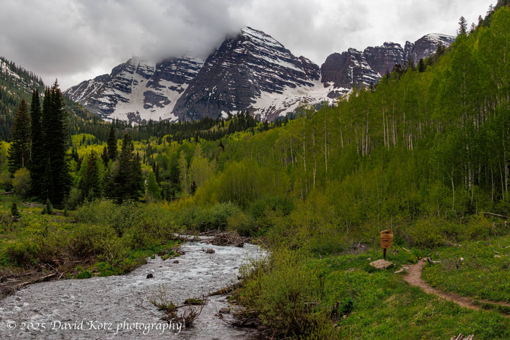
Maroon Lake and Maroon Bells
Last year I had an entire day to explore the famous Maroon Bells, and lucked into incredibly perfect weather. This time I could spare only the afternoon, but was able to leverage knowledge from last year. Although visitors must take a bus to Maroon Lake from Aspen Highlands, it is easy to bicycle from my hotel (at Aspen Meadows) to Aspen Highlands, saving me the delay of waiting for one of the local buses. With careful timing, I arrived at Maroon Lake less than an hour after donning my backpack at the Aspen Meadows Resort. It was cloudy, unlike last year, but as a result there were almost no other visitors.

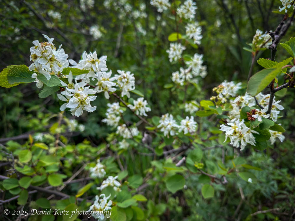
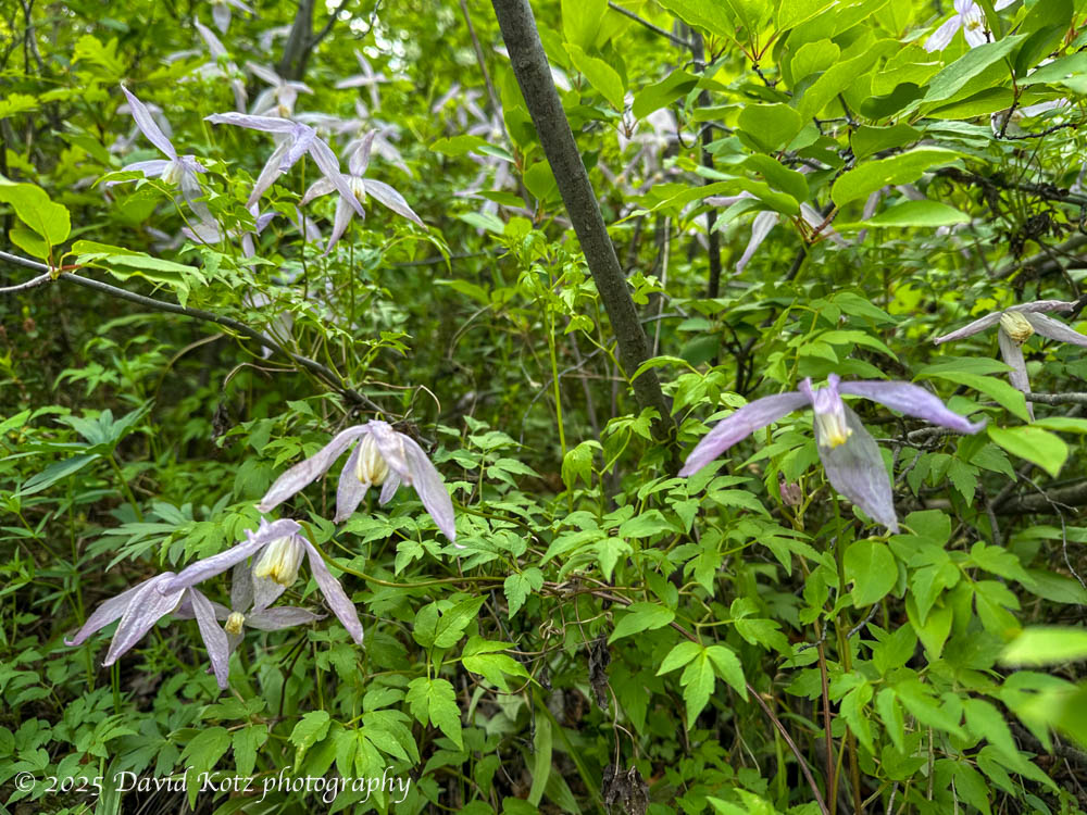
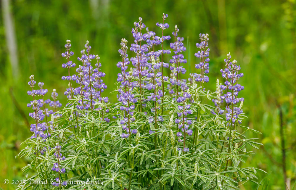
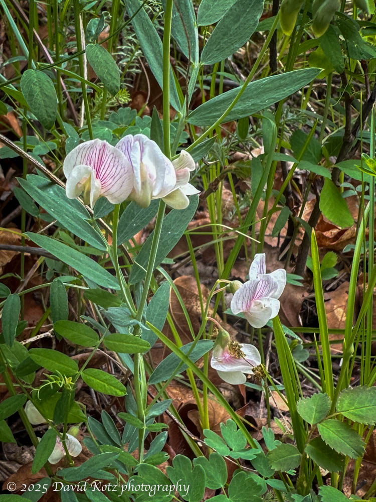
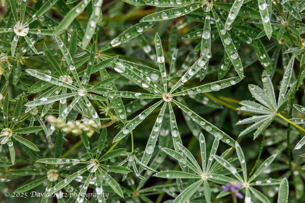
I spent time watching a beaver tackling some of the lakeside aspen trees; a cluster of Canada Geese tending to their chicks in the chilly spring breeze; and explored the loop trails around Maroon Lake and Maroon Creek to capture the rugged peaks of the Maroon Bells from various angles. Groves of aspen seemed to glow in the cloudy day, still lush in their light-green spring colors.
See more photos starting here. (Worth it!)
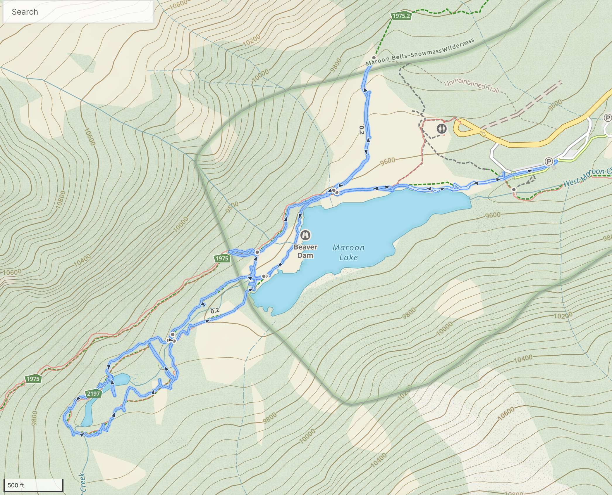
Hike stats: (not including the biking)
Distance: 2.90 miles (4.7km)
Time: 2h16m (with many stops)
Gain: 283′ (86m)
The hike starts and ends at the parking lot at right (where the blue walking route meets the white road). This day was more of a wander than a ‘hike’.
Below is the bike route from Aspen Meadows (my hotel), at top right, to Aspen Highlands (the base station for the bus to Maroon Lake), at bottom left.

Photo gallery
Be sure to check out the photo gallery (the same gallery reached by the links in the story above).