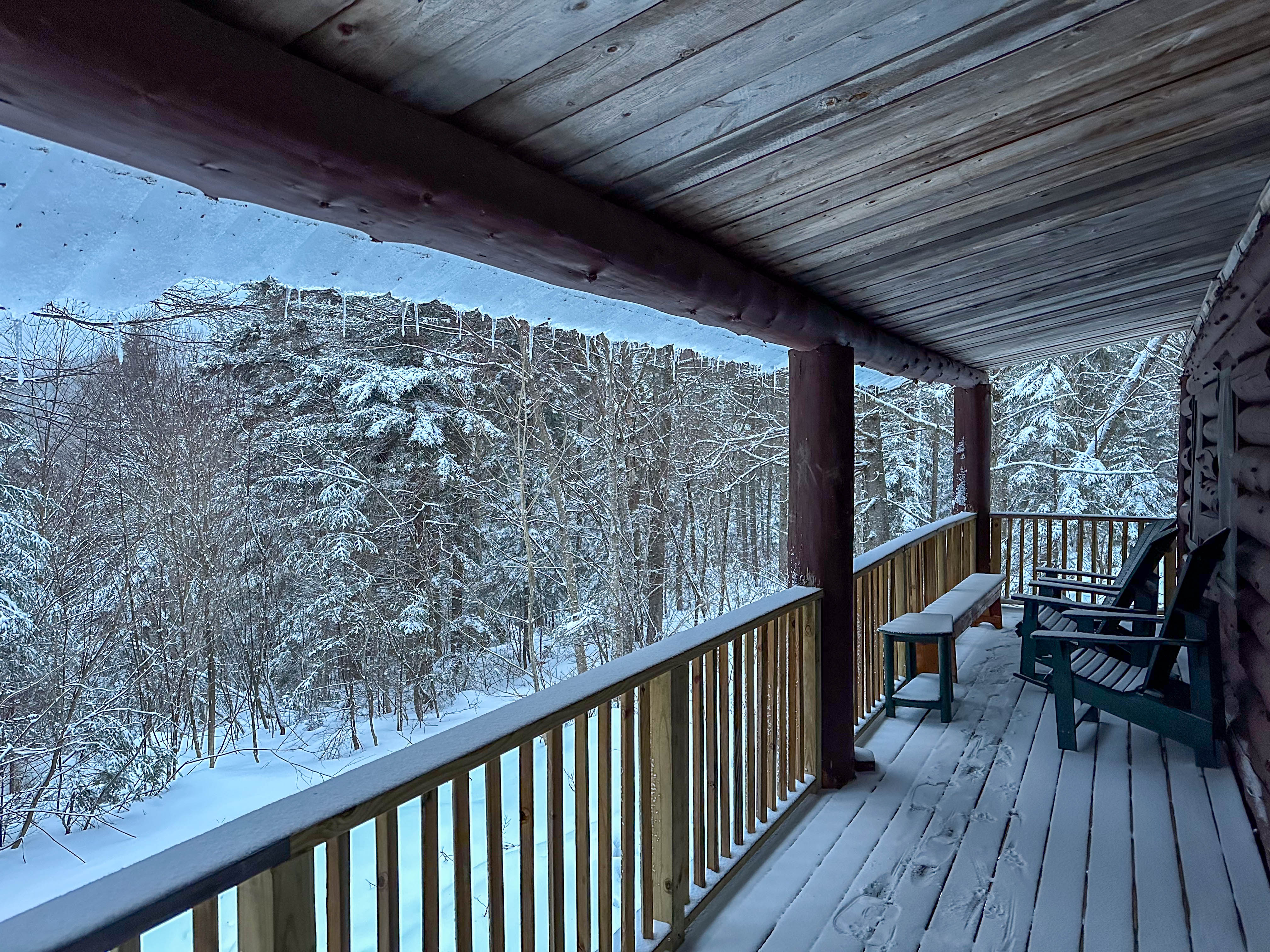
I’ve been hiking to the summit of Mount Moosilauke on (or about) New Year’s Day since at least 1984… and, for many of those years, camping in one of the rustic cabins on the side of the mountain: John Rand cabin on the east side, or Great Bear cabin on the southwest side. To retreat for two or three nights to a remote cabin, totally off the grid, where it may be 10ºF (or even –10ºF) outside while it is warm and snug (60º or 70ºF) inside, surrounded by friends. We spend hours cooking delicious meals, telling old stories, and playing board games while the snow falls outside. Read on…
This time, four of us hiked into John Rand cabin in the early afternoon of New Year’s Eve, quickly setting a fire in the woodstove and settling in for a long evening. It was warm – just above freezing – and the forecast was for rain (yuck!) the next day, but we remained optimistic.
On New Year’s morning I peered outside to find a fresh dusting of wet snow, and our spirits brightened.
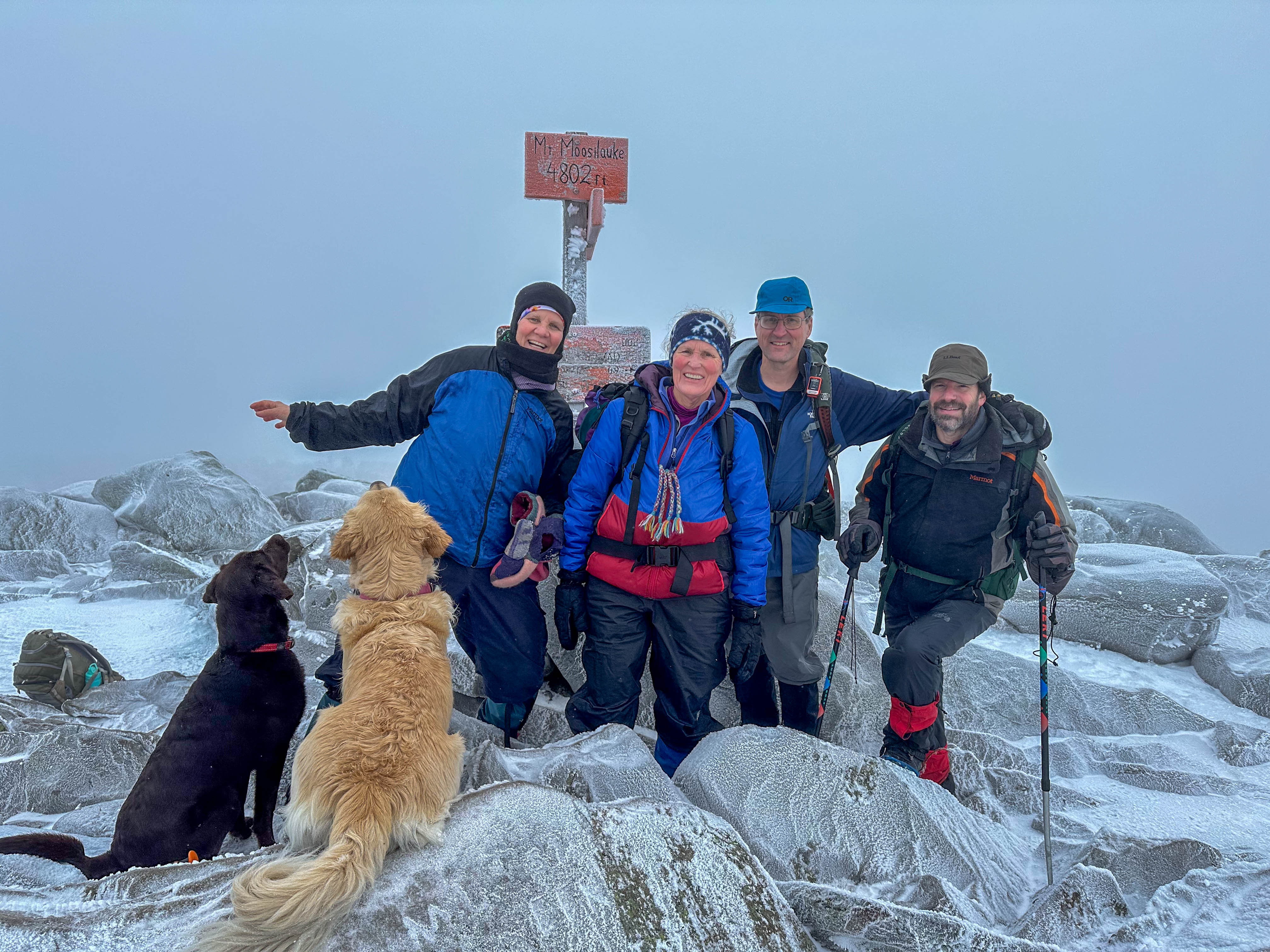
Although there was a light drizzle as we joined another friend down at the Ravine Lodge, it quickly abated. We climbed the Gorge Brook Trail, where the snow became deeper and drier as the elevation increased. We were in the clouds the whole day; as we emerged above treeline, the summit was not visible. But the summit conditions were quite pleasant, for winter… little wind, warm temps (20sºF), and a light snow fell.
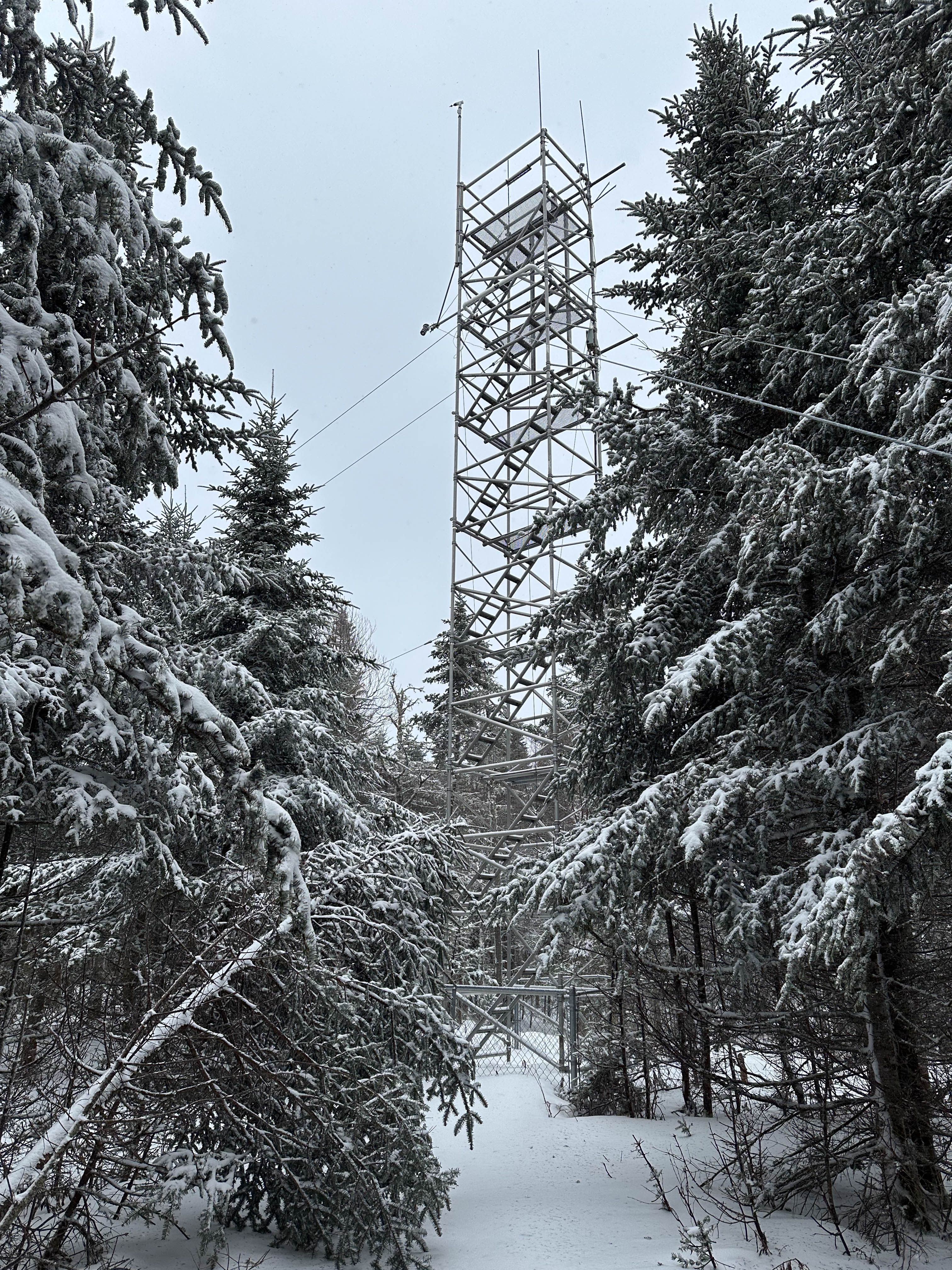
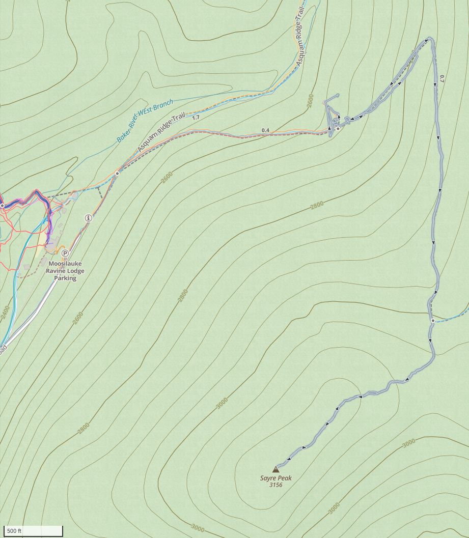
Two of us stayed another night at the cabin. Snow flurries fell gently as we went to sleep… but in the middle of the night the wind picked up, with massive gusts roaring through the trees. This morning, therefore, we set our sights low, and headed up the Al Merrill Loop with the wind whipping snow all around us. We turned right where a sign warned “Dead END”, and started post-holing along an unmaintained trail to Sayre Peak. The snowpack here was at least three feet deep and we sank to our knees with each step. Just as we wondered when the trail might end, we reached our destination: an old metal tower, built in 1983 as a meteorological research station. Not much to look at – and definitely not safe to climb – so we turned around and headed home.
It’s always a great way to welcome the new year – in the woods, in deep snow, with close friends; a chance to clear the mind before the year gets busy.
See the photo gallery.
Hike stats
Moosilauke Summit:
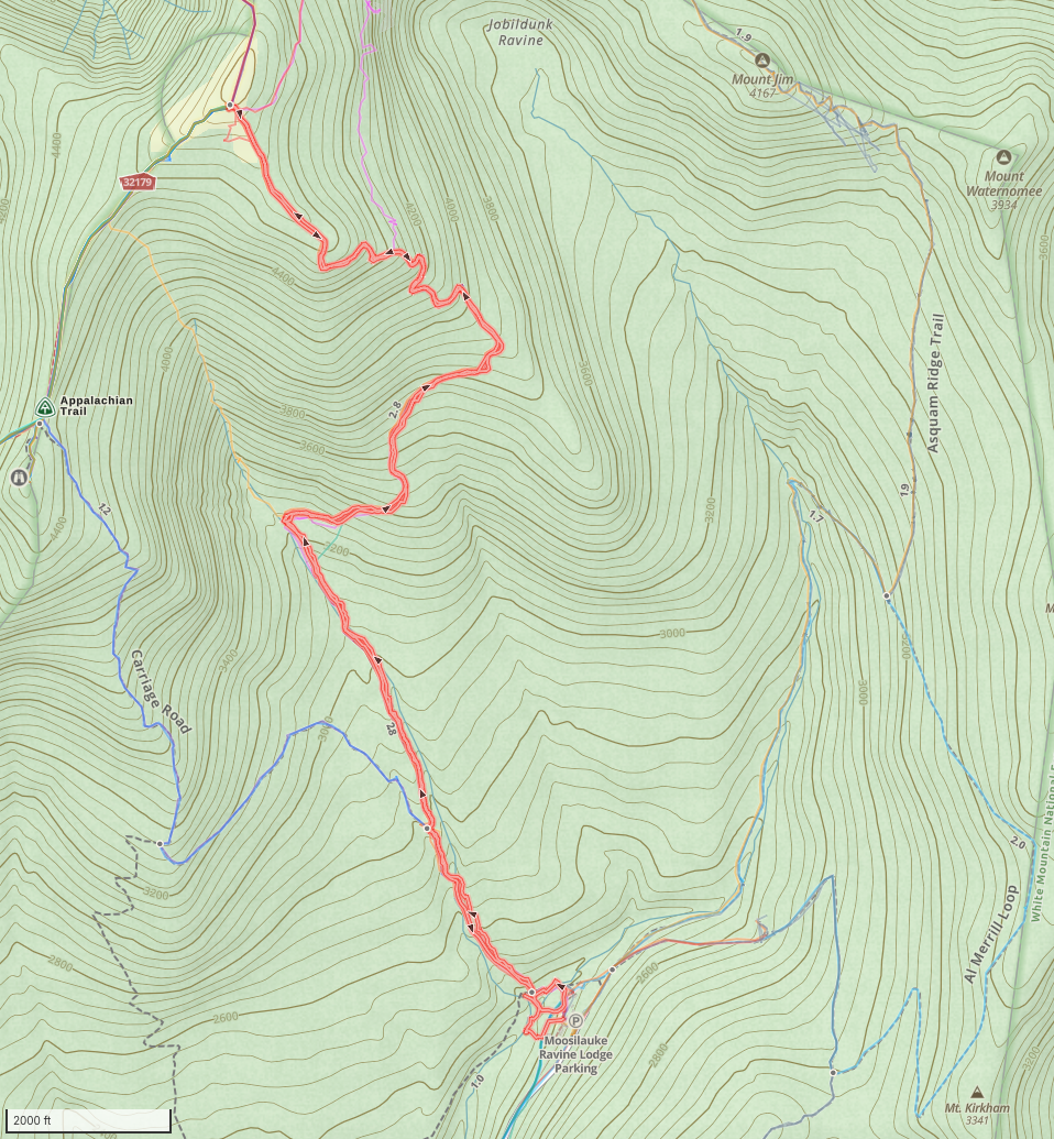
Distance: 7.3 miles + approx 0.8 or 0.9 before I started tracker
Time: 6h07m + 20 minutes before I started tracker
Gain: 2514′ + 100′ before I started tracker
Sayre Peak:
Distance: 2.3 miles
Time: 2 hours
Gain: 418 feet
Important
Dartmouth has put gates at either end of the Baker River bridge and has posted signs in several locations warning that they may close the bridge in conditions of high water. It appears there is concern the bridge may be unsafe in high-water conditions.