
I was in Aspen for a AAA&S workshop for higher-ed leaders; immediately afterward, I pulled together my hiking and photography gear and took the hotel shuttle into the center of town. From there, I walked a kilometer on city streets to reach the trailhead for the Ute Trail, which leads up to Ute Rock and beyond to the summit of 11,270’ Aspen Mountain (3435m). I was fortunate to have arrived in Aspen three days earlier, to give me a little time to acclimatize to Aspen’s 7,980’ elevation (2432m). Still, especially under the afternoon’s strong summer sun, I really felt the altitude as I climbed the incredibly steep trail through eight, nine, ten thousand feet. The first half of the route ascends on steep switchbacks through a forest of aspen and conifers, with wildflowers sprinkling the forest floor; it then follows ski slopes (black diamond and double-black diamond!), some with lingering patches of snow, to the summit. Three thousand feet of gain in under three miles, at this altitude, whew!
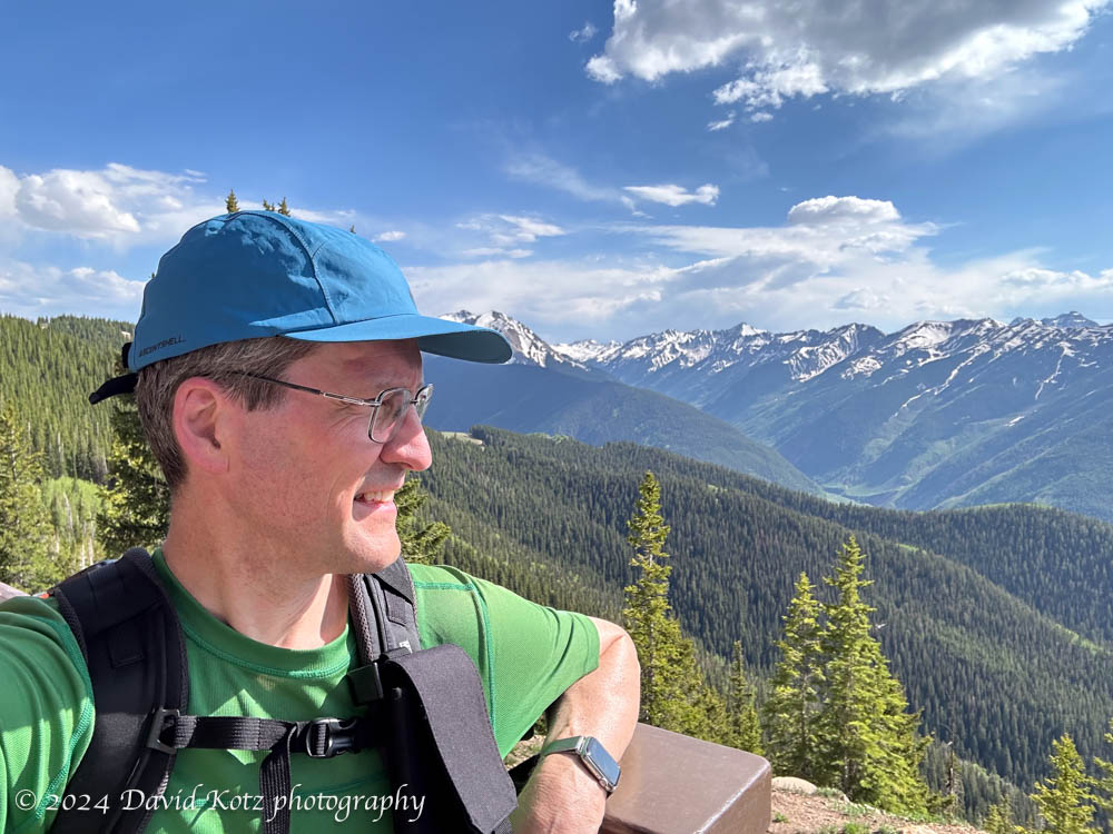
But the summit views were worth it! Three ski lifts converge at the summit, where there is a large restaurant and gift shop. I was surprised to find the building open – but with no staff present. The interior was disorganized, and neither the shop nor restaurant were in service. It was clearly in transition from the winter season into the coming summer season. I took advantage of the water fountain and the sun deck, which offered spectacular views across the peaks of the Rocky Mountains.

As an aside, I’m not sure what this mountain is actually called. The map (below) shows a smaller peak called Aspen Mountain, and a neighboring peak called Bell Mountain, but I went to a higher summit that seems to be unnamed. I’m calling it ‘Aspen Mountain’, as the ski area is called.
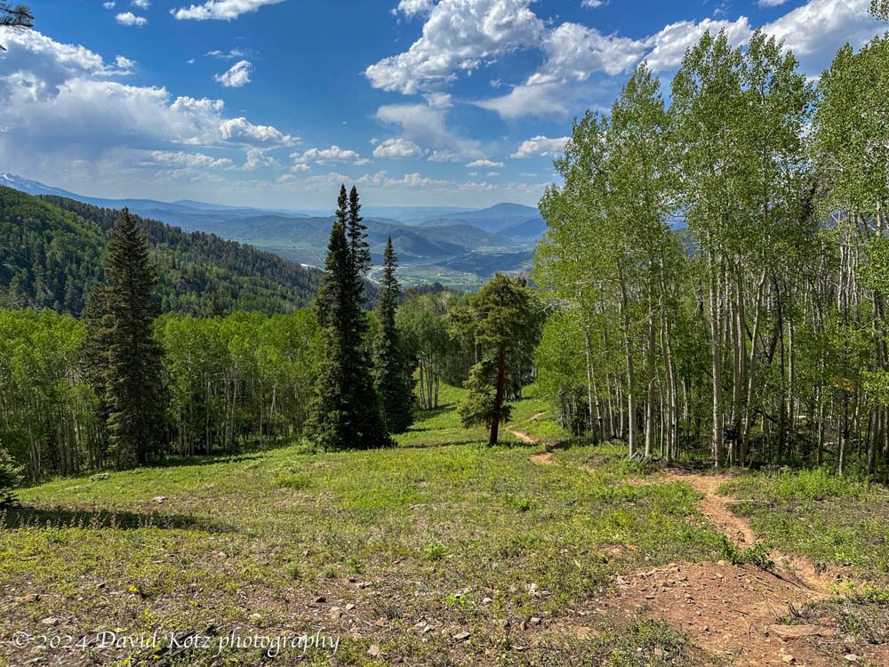
I took a different route down, sometimes skidding down steep ski trails or squishing my way through patches of snow. I startled a mule deer who thought she had the mountain to herself – and indeed, she nearly did, for I saw only one other hiker on the entire route once I passed the viewpoint at Ute Rock just above Aspen.
Strolling past the ski lift base station, sweaty and dirty after seven dusty miles, I walked a few blocks to an outdoor restaurant that offered pizza and beer. Great way to finish a hike! (except for the Aspen prices: $60 for two beers and a medium pizza!)
Check out the photo gallery for more.
Hike stats:
Elevation start: 7,919’ (2414m)
Elevation summit: 11,270’ (3435m)
Net Gain, town to summit: 3,303’ (1007m)
Time round-trip: 4h40m
Distance round-trip: 7.33mi (11.8km)
(the first 0.64 miles and 12 minutes were on city streets, nearly flat)

then downhill back to town at the top.

3 thoughts on “Aspen Mountain”