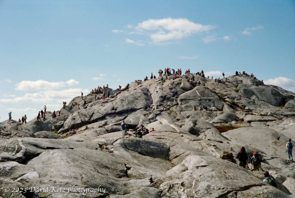
The first (and last) time I climbed Mount Monadnock, in southern New Hampshire, was over four decades ago… as a senior in high school. Despite living in New Hampshire for nearly all the years since then, I have never returned. Why? my impression is that it is always crowded. It was true in May 1982, and it was true now in November 2023. (Some say it is the second most-climbed mountain in the world, behind Mount Fuji in Japan.) Read on for the story of my visit this weekend, and for the gallery of photos!
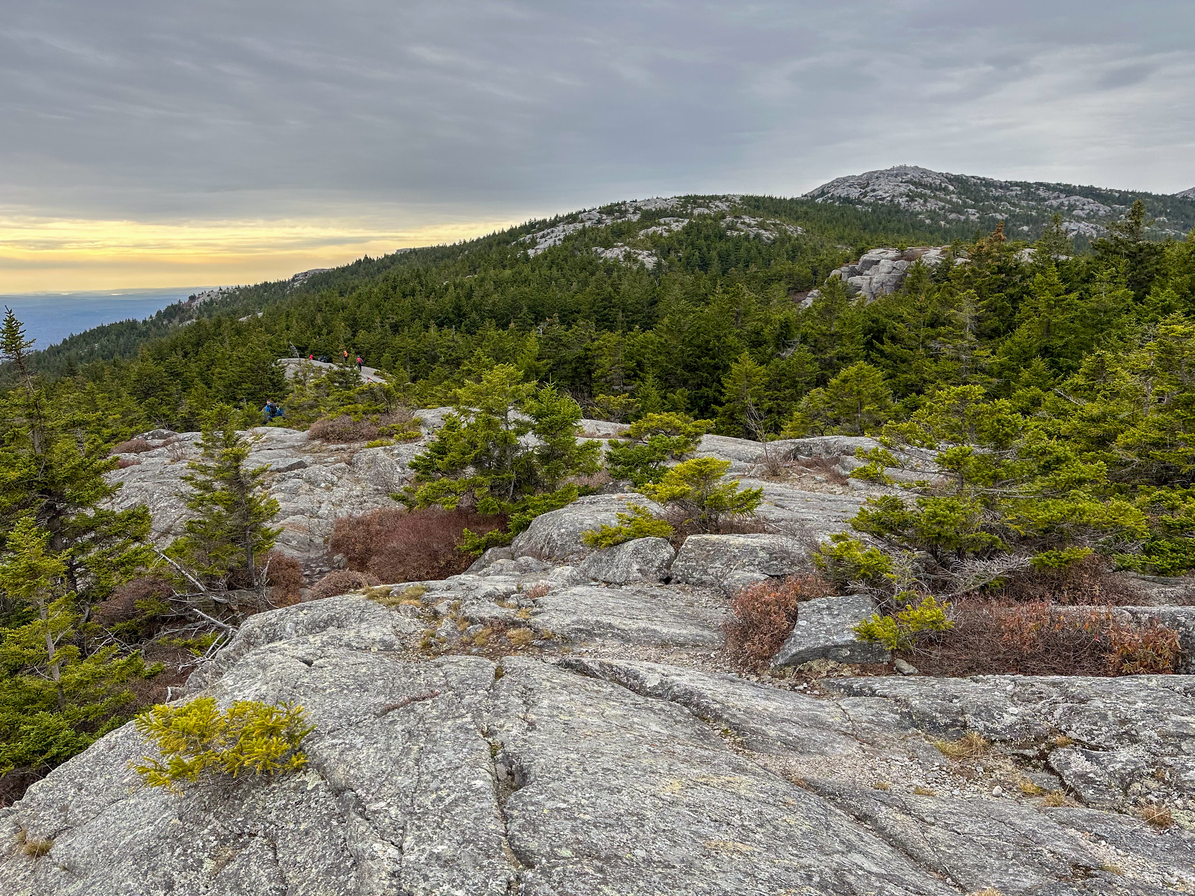
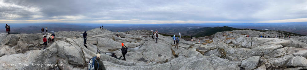
I had few specific memories of this mountain, except that it has a big, broad, bald summit with 360º views. The 1982 photo below gives you a sense; after the hike I pulled out this and four other photos from my 1982 hike.
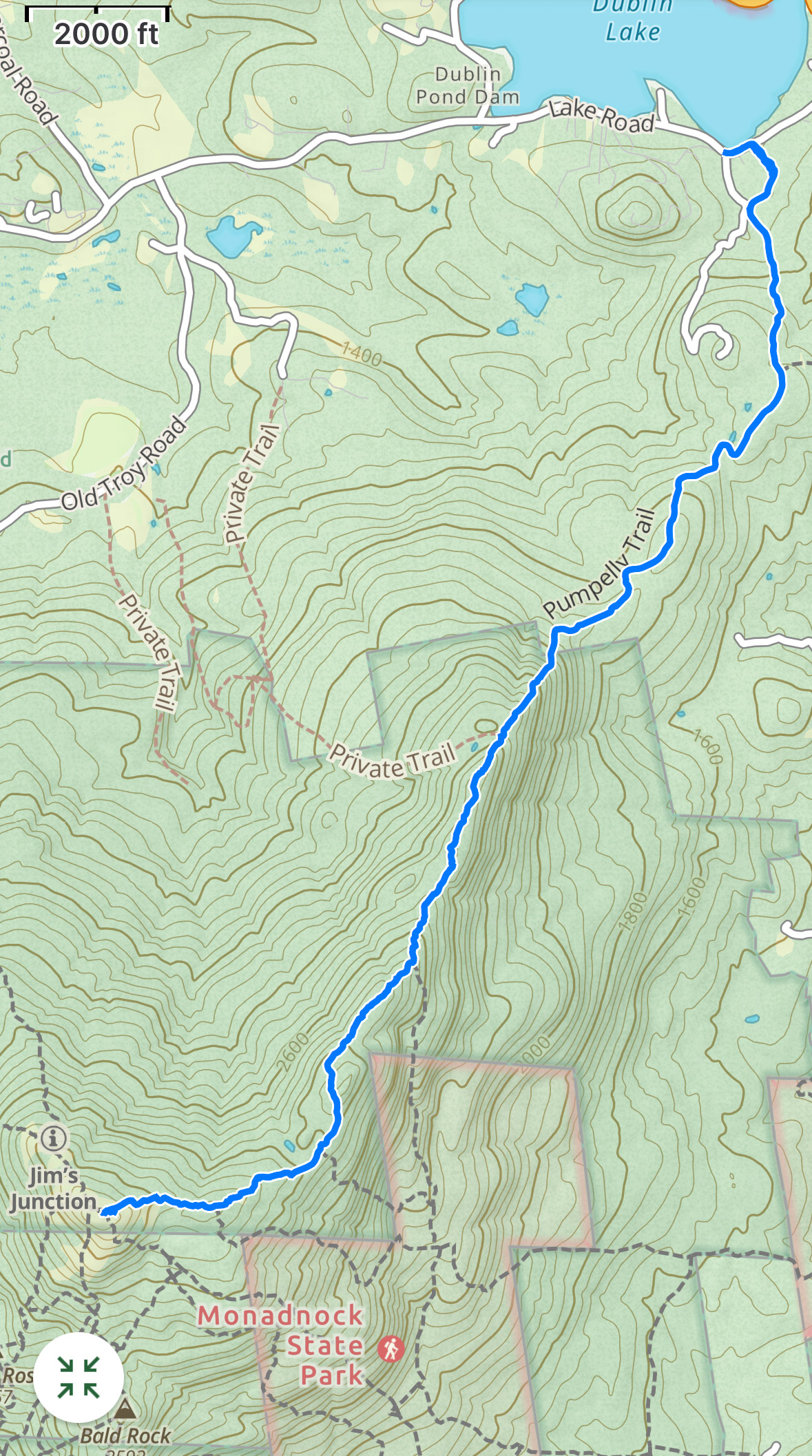
Because of the crowds, I avoided this mountain for four decades, Today I decided it was worth a return visit. In the guidebook 52 with a view, by Ken MacGray (second edition, 2020), he recommends the Pumpelly Trail because it is the “longest and probably quietest route to the summit but is also incredibly scenic.” Although the peak of fall foliage season passed us by about two weeks ago, I had hopes that the Monadnock region, almost two hours south of here, might still offer some scenic color. So off I went, and set my sights on the longest route … partly as penance for hiking this overly popular peak.
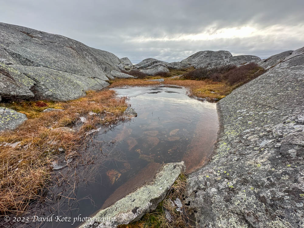
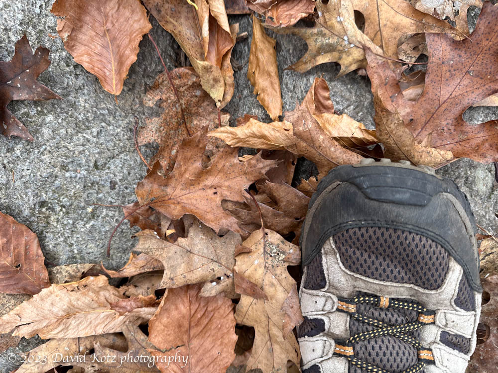
It turns out the peak of autumn had already ended at Monadnock, as well, but the oaks and beeches were still offering their rusty reds and browns, and the subalpine terrain provided lovely bogs and tarns with late-season grasses and dried flowers. The Pumpelly trail was indeed quiet – I saw only three other groups on the lower three miles of trail, both ways… whereas the upper reaches of the trail, after it intersected the popular (short) routes to the summit, were flooded with college kids and noisy boy-scount troops. Worse: the bare, rocky summit was, despite the cool and breezy late-fall conditions, busy with fifty or more people taking selfies and talking to friends on FaceTime. I didn’t stay long there and headed back the way I came.
The drawback to the Pumpelly Trail is that it is uphill both ways. Really! It is a ridgeline traverse, so the trail rambles up and down, up and down, along the rough and rocky ridgeline. Those rocks offer wonderful outcrop views, but also some tricky scrambles to climb steep slopes or navigate a jumble of jagged granite boulders. Still, the day was calm, the clouds were high, and the views were plentiful. At one point, not twenty minutes off the summit, I heard a voice off to my right. “Hello! can you hear my voice? help!” I answered, and a woman responded “I am off trail. Are you on the Pumpelly Trail?” I agreed that she was indeed off the trail; she asked, “can I follow your voice back to the trail?” Yes, I said, and waved my orange handkerchief in the direction of her voice. She was not far away, perhaps thirty meters through dense forest, and soon she had found her way back to the trail. We continued on down the trail, together. She was about my age, and judging from the way she bounded along the rocks, matched my pace. We chatted for the next hour as we scrambled up and down the Pumpelly Ridge, then down down down into the oak and beech forest again. She seemed glad to have a companion, lest she lose the trail again, as we shared the otherwise ‘quiet’ Pumpelly trail back to the trailhead. I always meet the nicest people when I’m out in the woods.
I’m glad to have returned to Monadnock. I’m more glad to have taken the scenic route. I’m still more glad I could lend someone else a hand, and share the beauty of the day. Check out the gallery of photos, including some panorama from the summit.
Hike stats:
Distance: 8.1 miles (13.0 km)
Time: 3h 50m
Elevation gain: 1,696′ (517m)
oddly, the guidebook “52 with a view”, by Ken MacGray, lists this hike as requiring 8.8 miles with gain 1,950′. (Some of that gain is on the return trip!) My stats, and the map below, are from Gaia GPS app.